With a gradual approach and nothing technical, Mt. Shakotan (1,255m) is a beginner back-country skier’s dream. And being the highest spot on the sprawling Shakotan Peninsula, the views are some of the best in western Hokkaido. Perfect for a very late spring season trip to the mountains, only a few hours by car from Sapporo.
Essential Info
- Location 43.270824, 140.480211; 85km (2 hours by car) due west-northwest of Sapporo, via Otaru.
- Getting there and away If you’re going in a group of two or more, consider taking your car (or renting a car if you’re visiting). If you’re renting a car in Sapporo, NicoNico Rentals is always my go-to; around 2,500yen for a gutless wonder that will fit three skiers and gear, a little more for something larger. It is also possible to access the start of the road that leads up to the hut by bus. You’ll want to catch the Number 21 bus from Yoichi Station, bound for Cape Kamuisaki, and get off at the bus stop called ‘Tozan-guchi’ which is stop number 52 (counting from Otaru Station). Bus stop location is around 43.308076, 140.553185, and will likely take around an hour from Yoichi Station. Check at tourist info at Sapporo Station before you head off for season timetable information.
- Routes There’s only one track marked on the topo maps up to Mt. Shakotan, although some winter route guides list two routes. The Fumi Route is the more popular route.
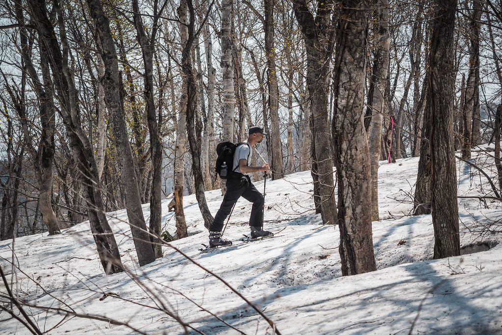
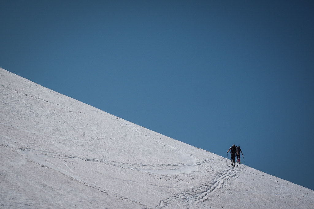
- The Fumi Route officially starts at the Mt. Shakotan hut (kyukeijo) at around 400m altitude (around here 43.291083, 140.529281). But in winter, you’ll likely be hiking/skinning from the beginning of the dirt road, around 43.299466, 140.545342, which will make the return journey around 20km in total. The route follows a very wide, very gradual and even ridge up to the summit (http://www.yamareco.com/modules/yamareco/graph.php?did=637010). The ridge is of such a shallow gradient at times that the downhill return trip can be a little tiresome, with some pushing with the poles required in order to keep the speed up.
- An alternate route starts further west, with similar gradient and distances.
- Maps The paper version of the Mt. Shakotan topographical map (1:25,000) produced by GSI is map number 644073, and you’ll probably want 644074 if you want coverage of the dirt road approaching the hut. I usually get my topo maps (around 300 yen each) from Kinokuniya Bookstore on the west side of Sapporo Station. Alternatively, you can print out the sections you need from GSI’s amazing (free) online topomap app. The following link points to the online version of GSI’s topo maps, with Mt. Shakotan in the cross-hairs: http://maps.gsi.go.jp/#16/43.270597/140.480268. I’ve also embedded the map below for reference.
- Onsen nearby Onsen (hot springs) are fairly abundant on the Shakotan Peninsula. On the drive back to Sapporo, one onsen that is always worth a visit is the Furubira Onsen (location on Google Maps). Clean, modern, and very reasonably priced, it has an awesome view of the sea from the outdoor pool.
- Weather forecast (Google Translated) Tenkura pinpoint
- Date climbed (date this report is valid for) Four of us climbed and descended via the Fumi route in very balmy weather on the 29th of April, 2015. Browsing other Yamareco.com reports (Mt. Shakotan reports here) from skiiers on Mt. Shakotan suggests this was one of the last weekends practical to ski there in 2015. Note that most guide books suggest Mt. Shakotan as suited most to late season skiing.
Mt. Shakotan Topographical Map via GSI (large version here)
Climb and Ski Report
Late April meant that we were able to drive perhaps a third of the way up the forestry road before having to park the car and start walking.
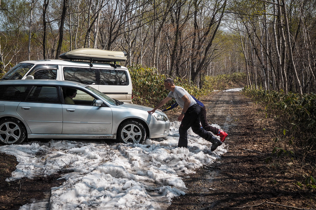
In summer it is possible to drive the road all the way to the hut where there is a large parking space. Earlier in winter climbers have to park at the very bottom of the forestry road. Two of us in the party today had skins, but opted to hike all the way to the hut rather than skin up; the snow lower down was rotten covered with forest litter.
We were away by 9:45am, after leaving central Sapporo at around 7:30am.
It only took us around 30 minutes to cover the ground to the hut. By 10:20 we were at the hut and peeling off layers in the heat.
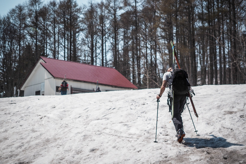
The very well kept hut at Mt. Shakotan would be an excellent place to stay a night. I’ve not stayed there myself, but the place is free to use. There is a kerosene heater and some simple futons for bedding, and will sleep up to 20 people.
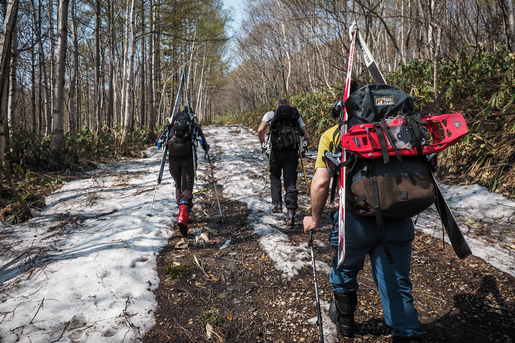
We stopped to use the toilet, and then carried on, those with skins set out on skis, and us two on foot carried on in our boots. We were carrying snowshoes but the snow was packed enough not to need them.
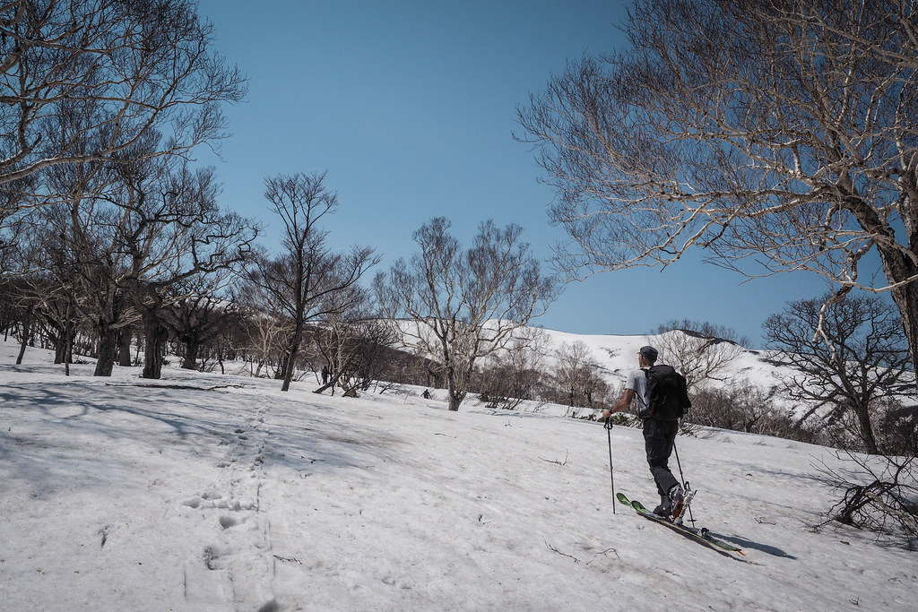
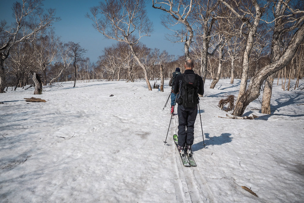
The route starts out through fairly sparse woods before exiting out into more open snow fields.
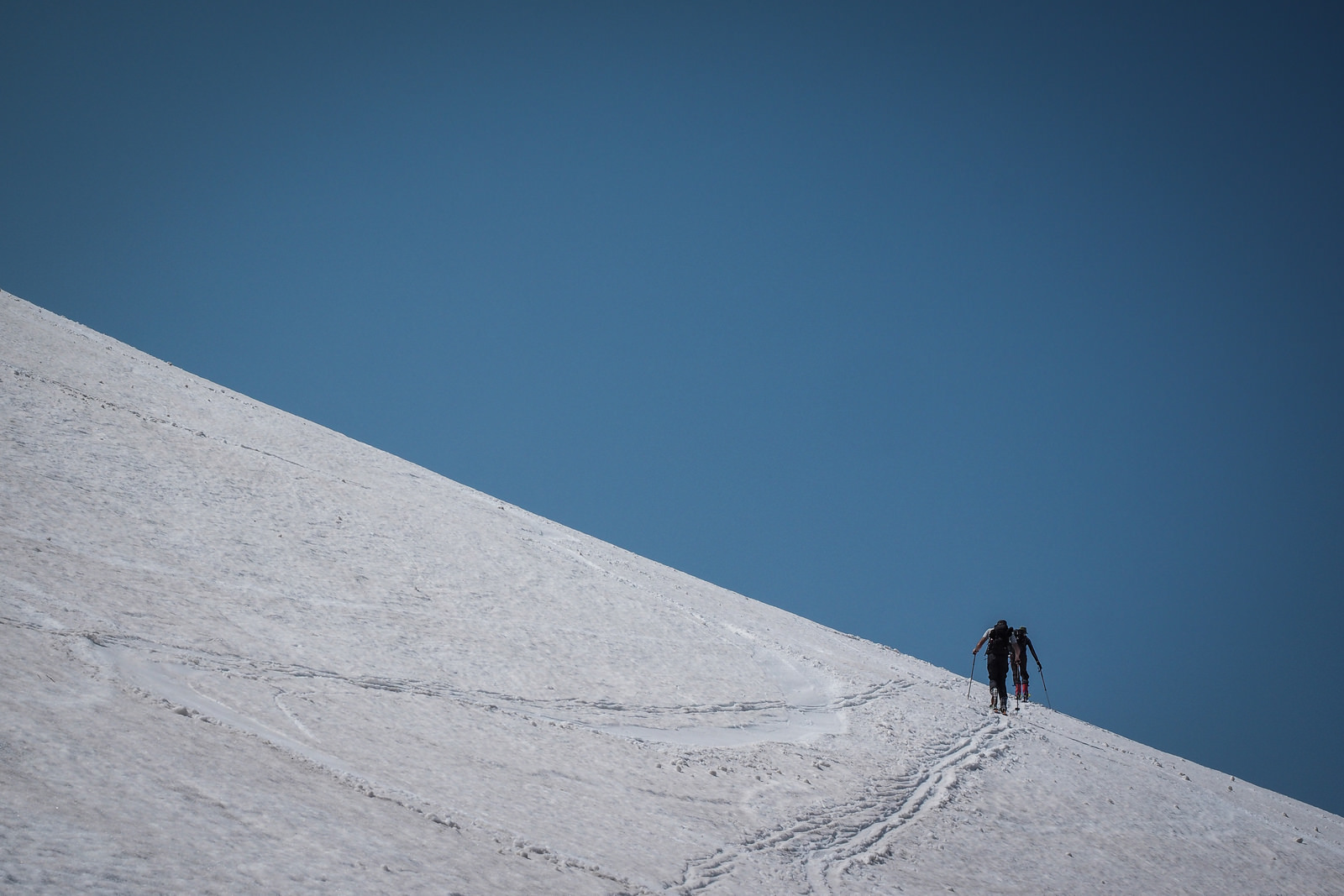
Including a 20 minute stop for lunch, it took us around 3 hours to get from the hut to the summit. It was blowing a gale at the top, but the sun was warm enough that in the lee of the wind it was very pleasant.
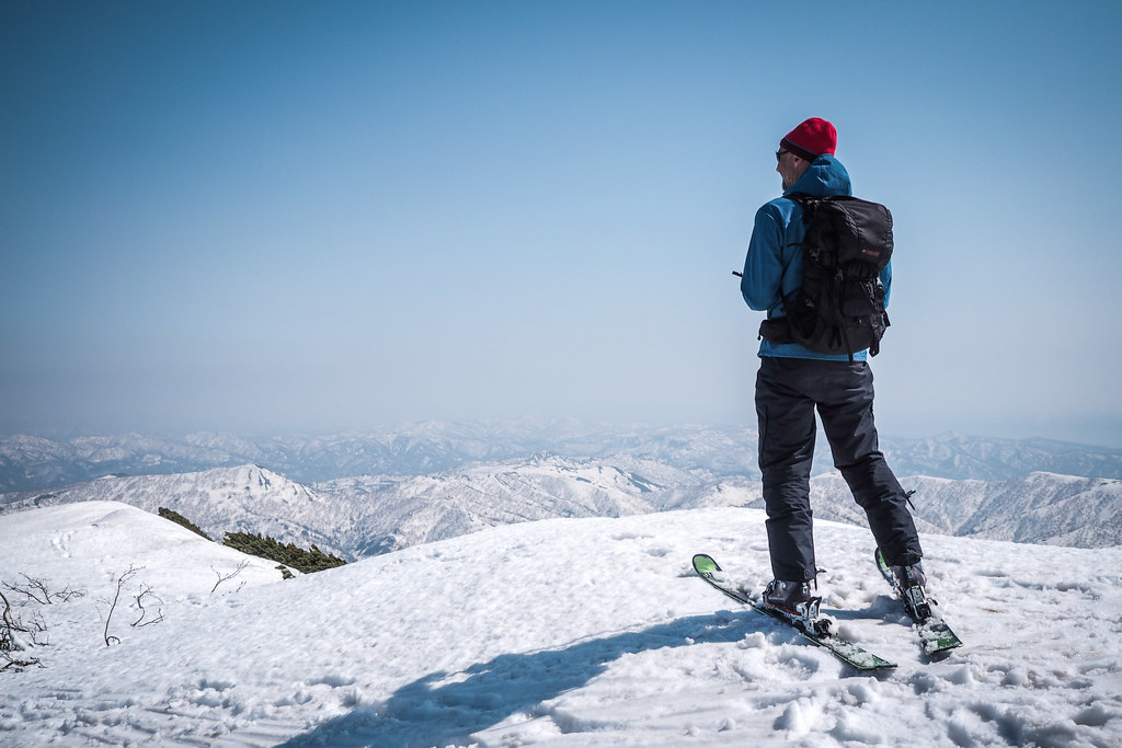
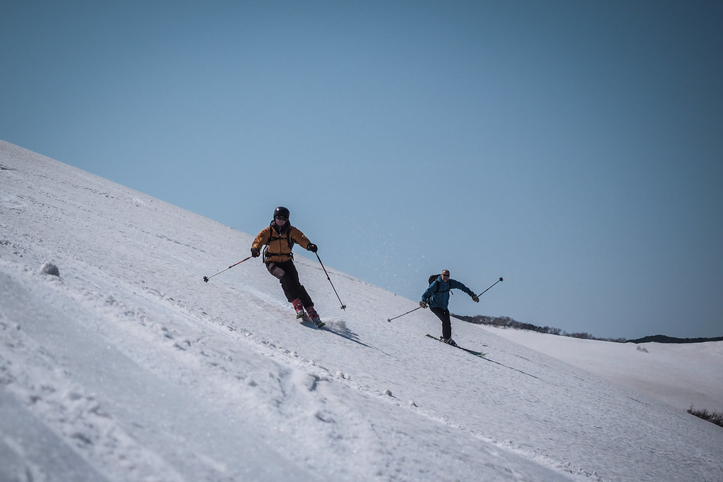
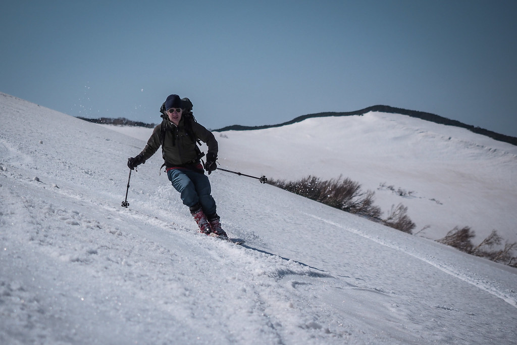
The thrill of the downhill only really lasts for 10 minutes or less on Mt. Shakotan. From the summit at 1,255m to around the 800m mark is nicely steep enough to get a few nice turns in, but from there it is a shallow gradient most of the way to the hut and further on down the forestry road.
The almost imperceptible downhill gradient begins…but why did it feel so steep going up?!
We were down the mountain and at the car at around 2pm, just in time for an icecream at the local icecream store just down the road from the gravel road turnoff, in the direction of Sapporo. Ah the joys of spring skiing.
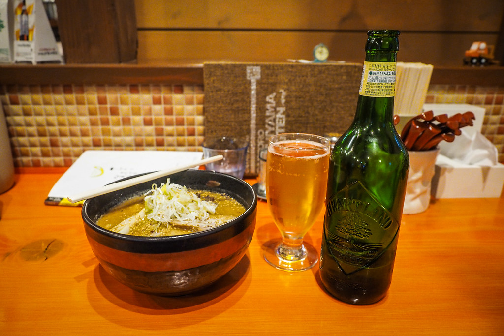
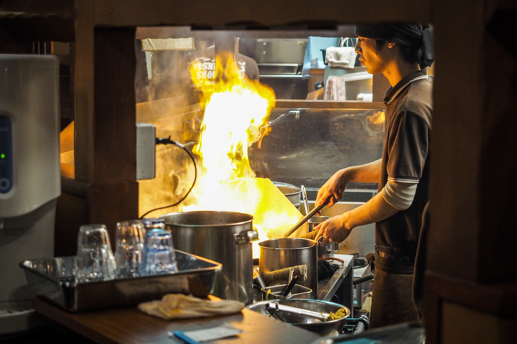
We had the requisite onsen at Furubira Onsen and were back in Sapporo just before 7pm for a ramen and beer. Our pick of ramen restaurant was Rick’s suggestion, and it was a winner. Yoshiyama Ramen – a new franchise in this location, it seems, since Google street view still shows an older building.