Trip Report

Mt. Shakotan Day Trip in Spring 2015

Posted on Apr 29, 2015
35 0

Posted on Apr 29, 2015

Reading time: [rt_reading_time] min

With a gradual approach and nothing technical, Mt. Shakotan (積丹岳, 1,255m) is a beginner back-country skier’s dream. And being the highest spot on the sprawling Shakotan Peninsula, the views are some of the best in western Hokkaido. Perfect for a very late spring season trip to the mountains, only a few hours by car from Sapporo.

Late April meant that we were able to drive perhaps a third of the way up the forestry road before having to park the car and start walking.

Mt. Shakotan approach (Hokkaido, Japan)

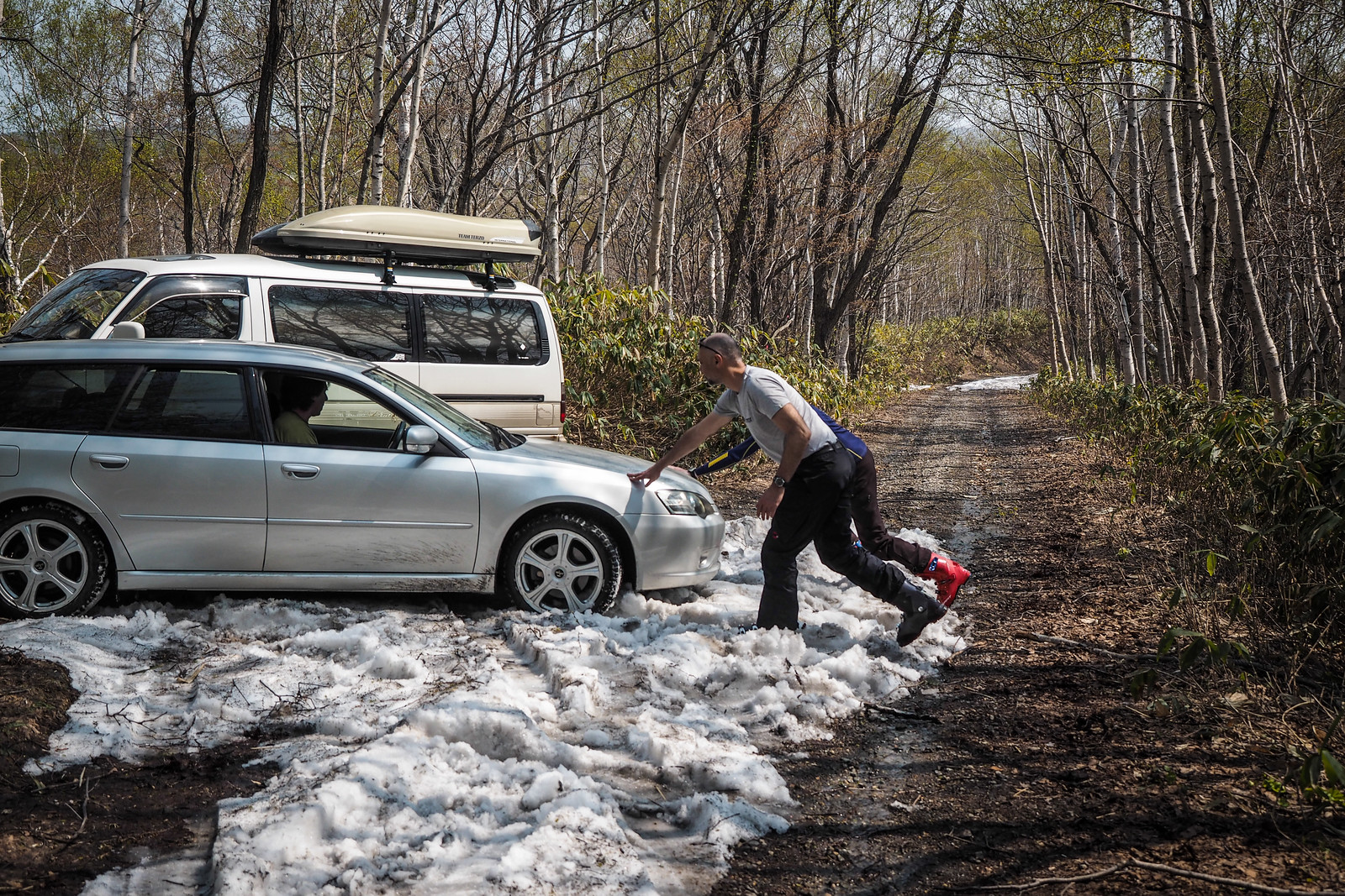
In summer it is possible to drive the road all the way to the hut where there is a large parking space. Earlier in winter climbers have to park at the very bottom of the forestry road. Two of us in the party today had skins, but opted to hike all the way to the hut rather than skin up; the snow lower down was rotten covered with forest litter.

We were away by 9:45am, after leaving central Sapporo at around 7:30am.

Mt. Shakotan spring back country skiing (Hokkaido, Japan)

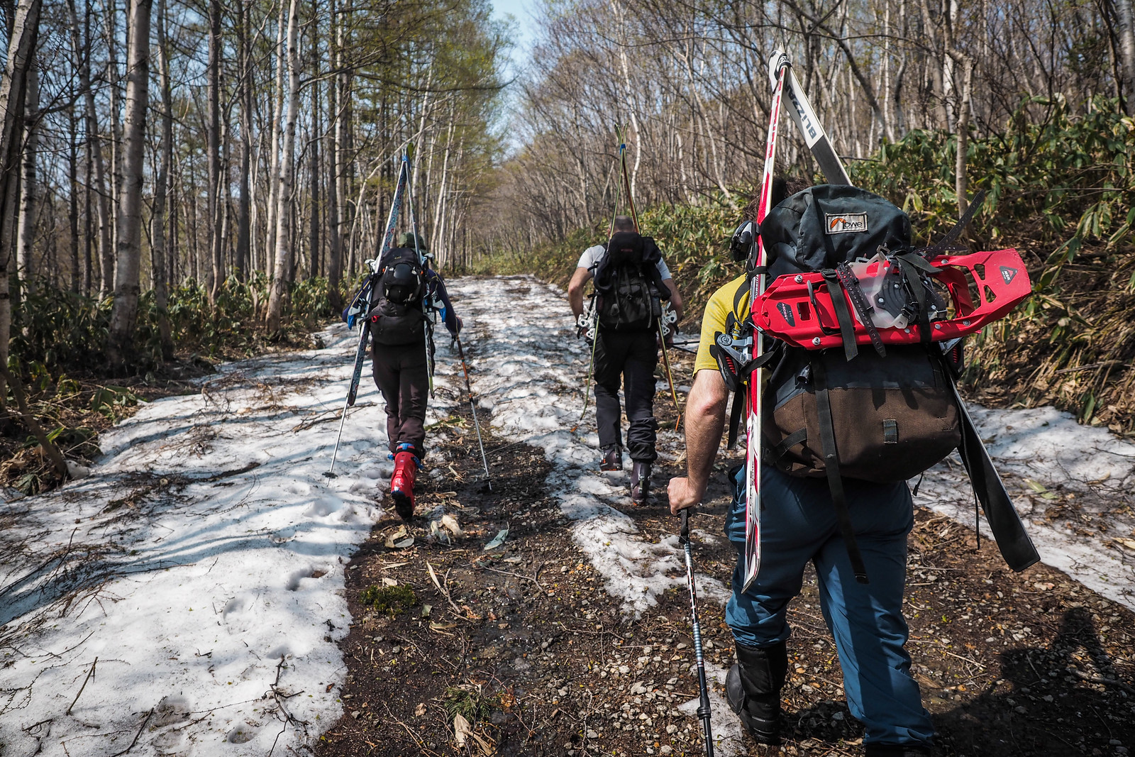
It only took us around 30 minutes to cover the ground to the hut. By 10:20 we were at the hut and peeling off layers in the heat.

Mt. Shakotan spring back country skiing (Hokkaido, Japan)

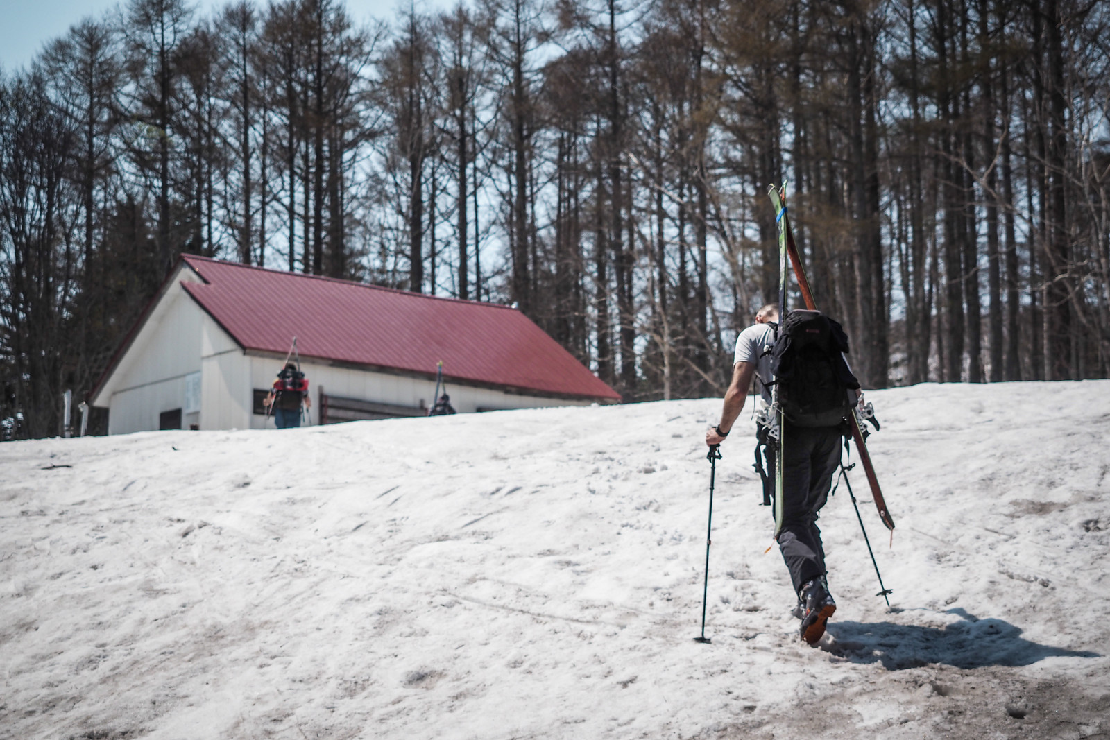
The very well kept hut at Mt. Shakotan would be an excellent place to stay a night. I’ve not stayed there myself (EDIT: I’ve now stayed there – it is great), but the place is free to use. There is a kerosene heater and some simple futons for bedding, and will sleep up to 20 people.

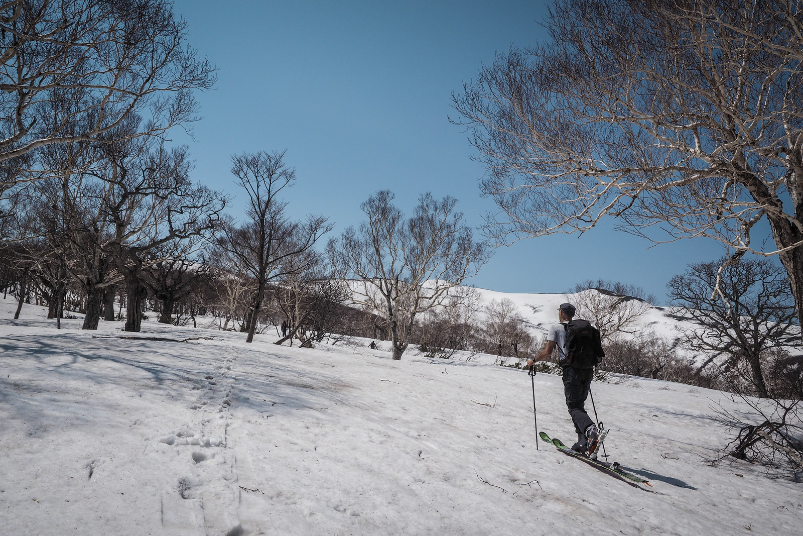
We stopped to use the toilet, and then carried on, those with skins set out on skis, and us two on foot carried on in our boots. We were carrying snowshoes but the snow was packed enough not to need them.

Mt. Shakotan spring back country skiing (Hokkaido, Japan)

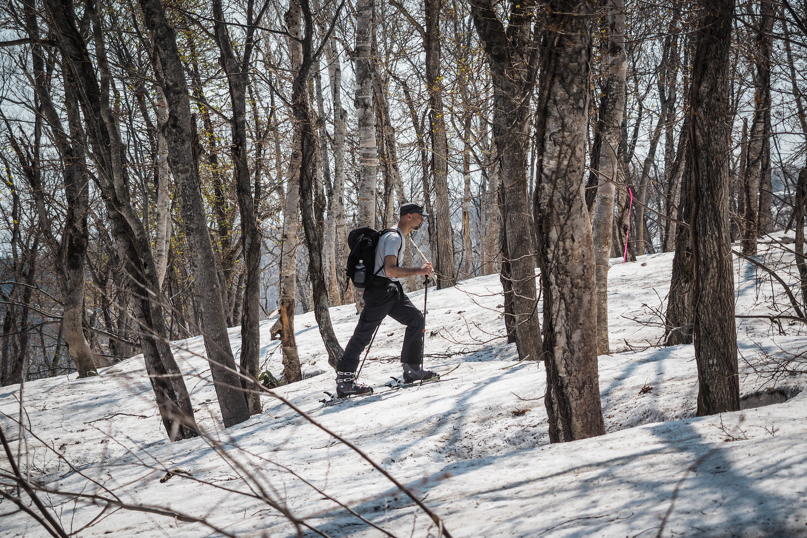
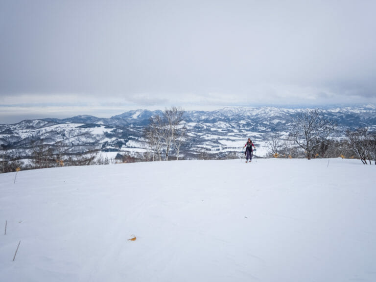
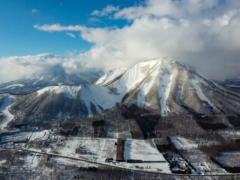
The route starts out through fairly sparse woods before exiting out into more open snow fields.

Mt. Shakotan spring back country skiing (Hokkaido, Japan)

Mt. Shakotan spring back country skiing (Hokkaido, Japan)

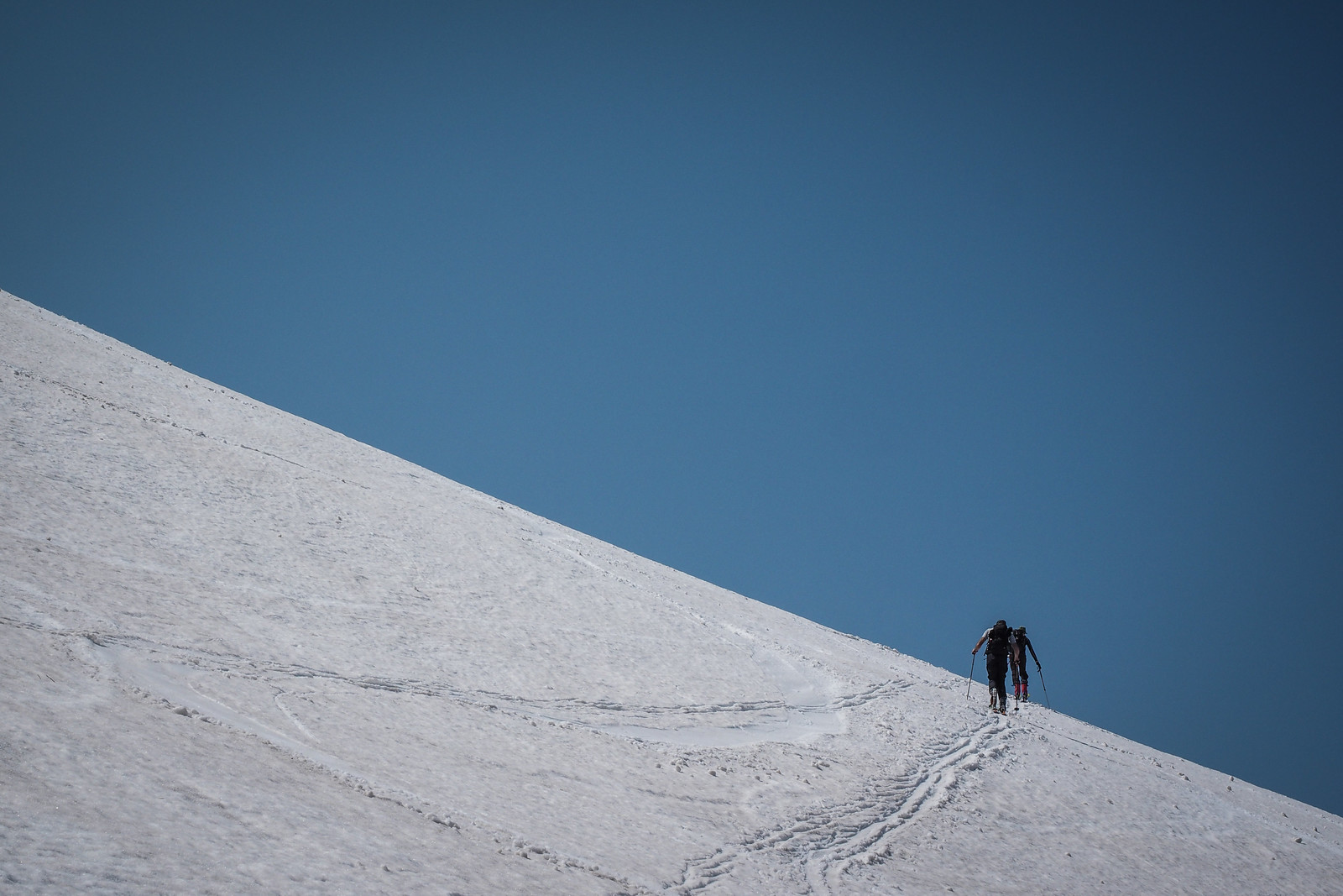
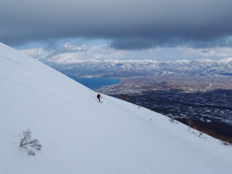
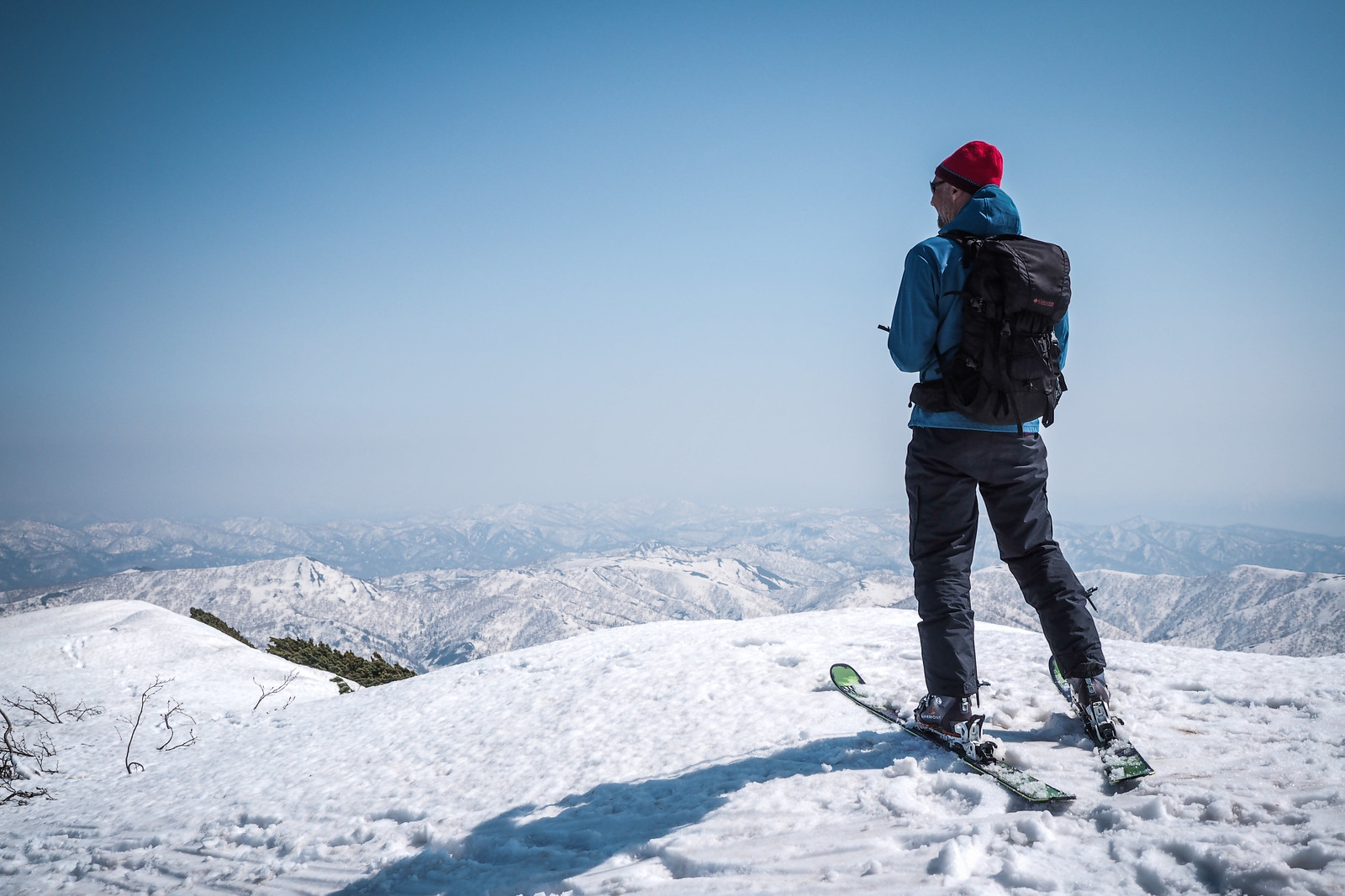
Including a 20 minute stop for lunch, it took us around 3 hours to get from the hut to the summit. It was blowing a gale at the top, but the sun was warm enough that in the lee of the wind it was very pleasant.

Mt. Shakotan spring back country skiing (Hokkaido, Japan)

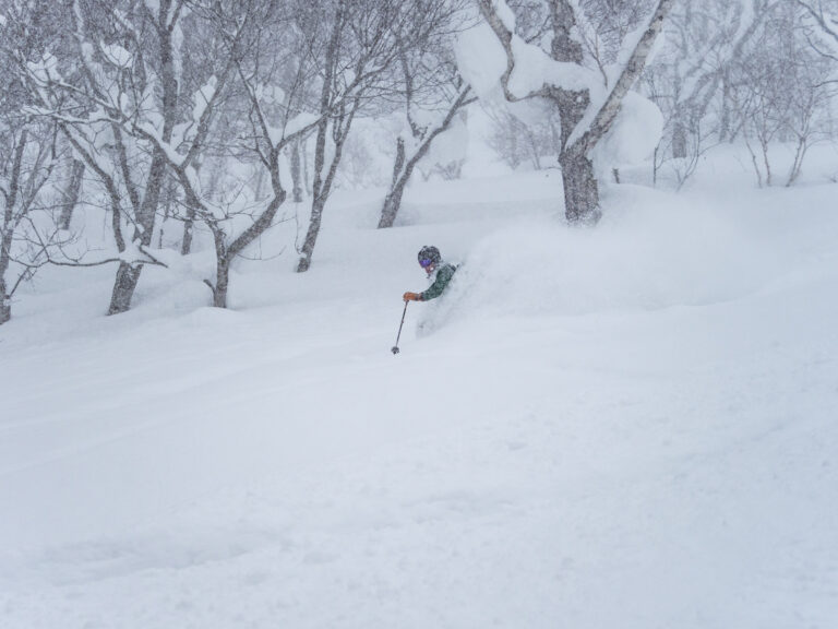
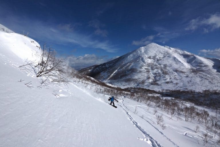
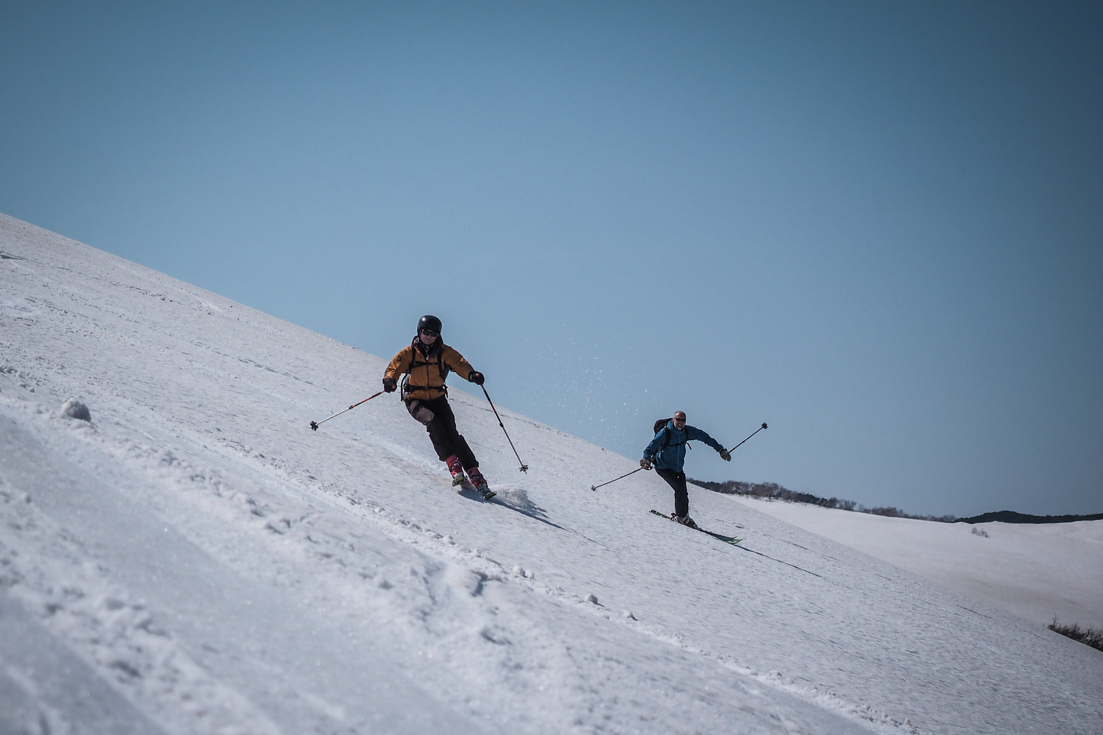
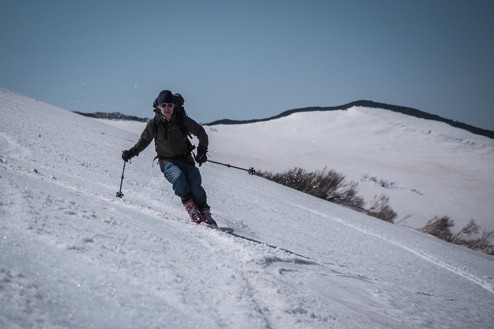
The thrill of the downhill only really lasts for 10 minutes or less on Mt. Shakotan. From the summit at 1,255m to around the 800m mark is nicely steep enough to get a few nice turns in, but from there it is a shallow gradient most of the way to the hut and further on down the forestry road.

Mt. Shakotan spring back country skiing (Hokkaido, Japan)

Mt. Shakotan spring back country skiing (Hokkaido, Japan)

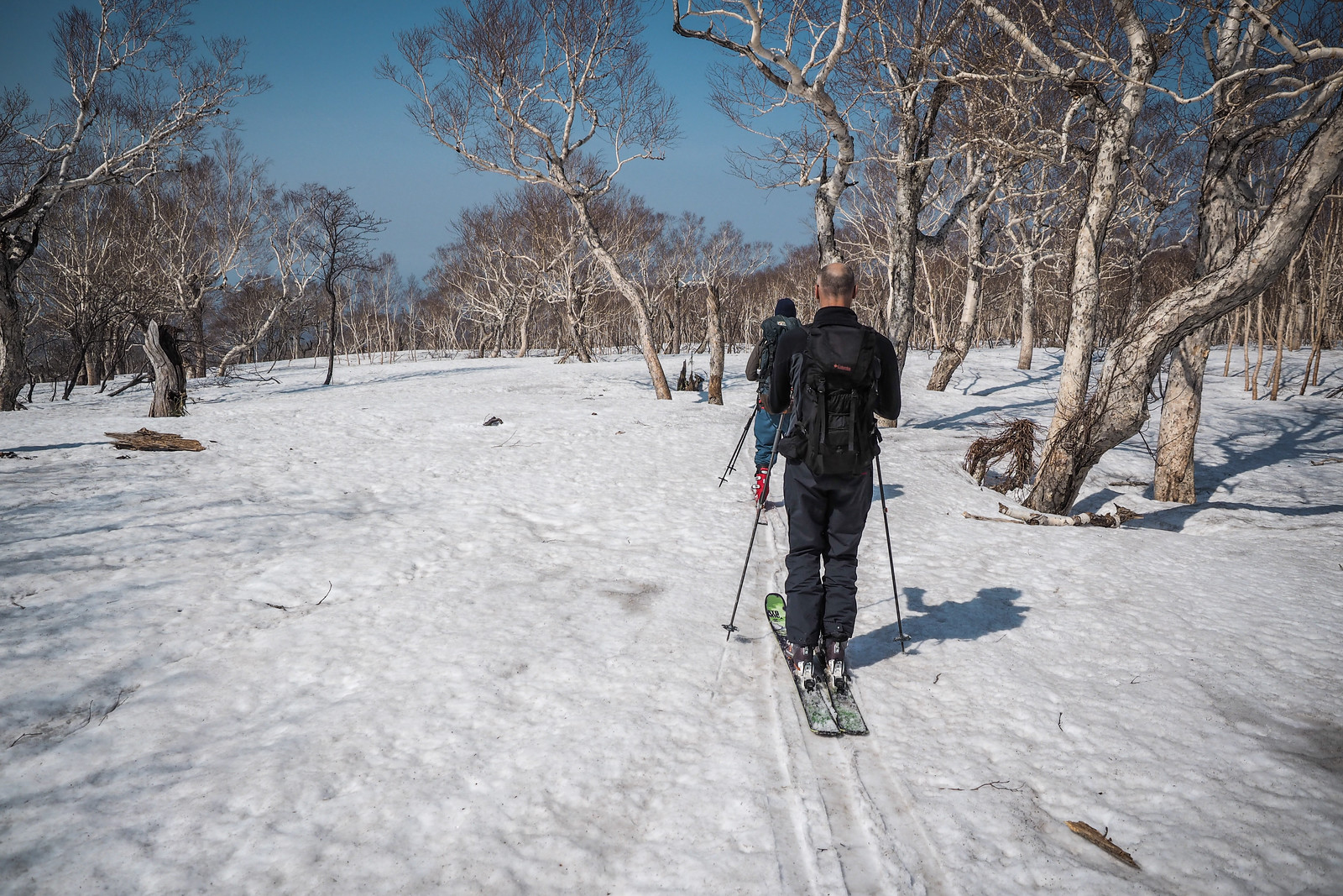
The almost imperceptible downhill gradient begins…but why did it feel so steep going up?!

Mt. Shakotan spring back country skiing (Hokkaido, Japan)

We were down the mountain and at the car at around 2pm, just in time for an icecream at the local icecream store just down the road from the gravel road turnoff, in the direction of Sapporo. Ah the joys of spring skiing.

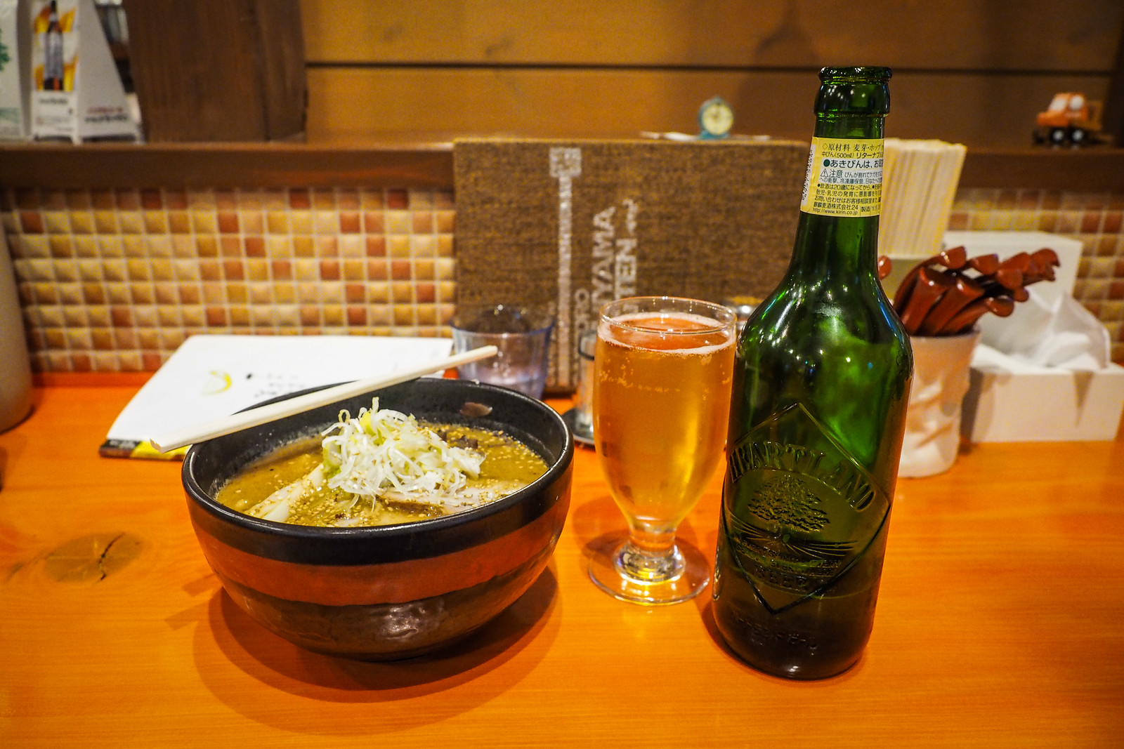
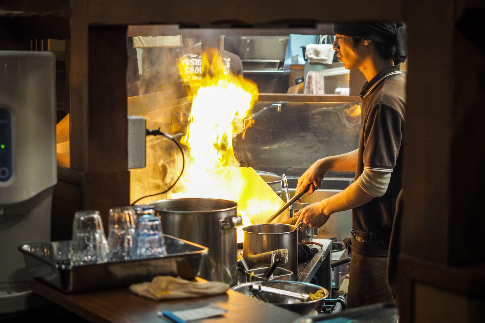
We had the requisite onsen at Furubira Onsen and were back in Sapporo just before 7pm for a ramen and beer. Our pick of ramen restaurant was Rick’s suggestion, and it was a winner. Yoshiyama Ramen – a new franchise in this location, it seems, since Google street view still shows an older building.

Mt. Shakotan spring back country skiing (Hokkaido, Japan)

Mt. Shakotan spring back country skiing (Hokkaido, Japan)

Comments | Queries | Discussion

Leave a Comment

Your email address will not be published. Required fields are marked *

This site uses Akismet to reduce spam. Learn how your comment data is processed.

See More Like this

Download may take some time

Hokkaido Wilds Foundation

We’ve got affiliate links on HokkaidoWilds.org to help fund the Hokkaido Wilds foundation.

The Foundation gets a small commission on sales from affiliate links, but we only link to stuff we think is worth checking out for people keen on the outdoors in Hokkaido and Japan.

The Hokkaido Wilds Foundation is a fund where 100% of funds are donated to Hokkaido volunteer groups involved in sustainable, safe, and responsible access to the Hokkaido outdoors.

Learn more here

ADVANCED FILTERS

Filter by location

About Filters

REGION: The general mountain/geographical region the route is in.

BEST MONTH(S): Time of year a route is suited to visiting. Some pop all season, some are more limited.

DIFFICULTY: How strenuous a route is, and how technical it is. Full details here.

FREERIDE/SKITOUR: Very subjective, but is a route more-of-a-walk-than-a-ski or the other way around? Some routes are all about the screaming downhill (freeride), some are more about the hunt for a peak or nice forest (ski-tour). Some are in between. 

MAIN ASPECT: Which cardinal direction the primary consequential slope is facing, that you might encounter on the route. More details here.

ROUTE TAGS: An eclectic picking of other categories that routes might belong to.

SEARCH BY LOCATION: You can find routes near your current location – just click on the crosshairs (). You may need to give permission to HokkaidoWilds.org to know your GPS location (don’t worry, we won’t track you). Or, type in a destination, such as Niseko or Sapporo or Asahikawa etc.

Please let us know how we can make it easier to narrow down your search. Contact Rob at rob@hokkaidowilds.org with your suggestions.

Mt. Shakotan Day Trip in Spring 2015 Difficulty Rating

Category

Grade

Points

Strenuousness

Vertical Gain

D

25

Time ascending

D

0

Technicality

Altitude

D

0

Hazards

D

Navigation

D

Totals

25/100

GRADES range from A (very difficult) to D (easy). Hazards include exposure to avalanche and fall risk. More details here. Rating rubric adapted from Hokkaido Yukiyama Guidebook 北海道雪山ガイド.