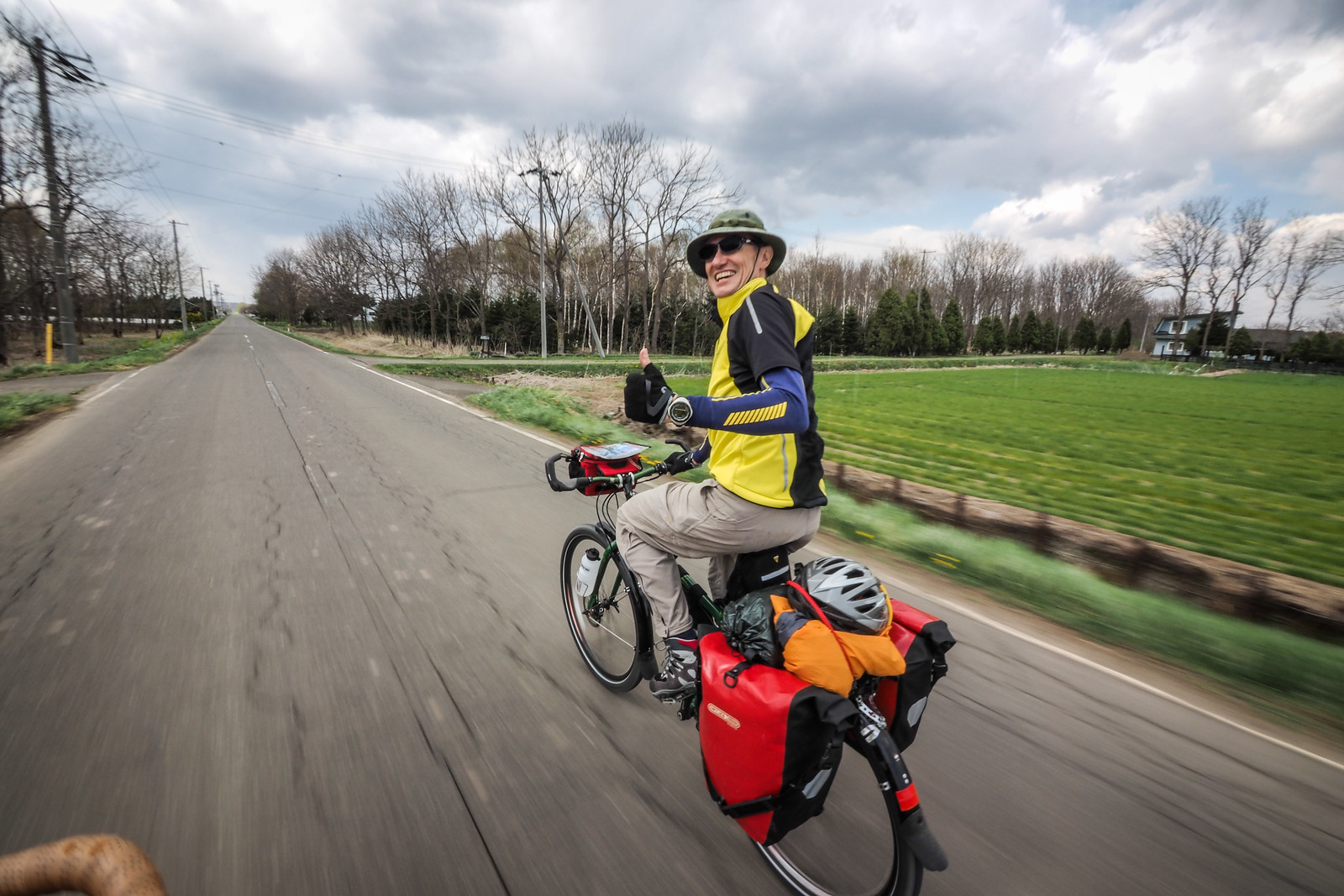
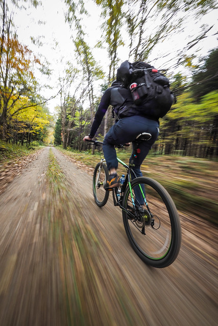
From New Chitose Airport, it is about 50km to central Sapporo City by the most direct routes. Below, I outline three options, in order of recommendation: 1) a 55km meander through rural landscape and the Shiroishi Cycling road, 2) an 80km rocute via the hopelessly beautiful Lake Shikotsu, and 3) a 45km gauntlet-run along the heavy-traffic four-lane national highway 36. My pick is always either option 1 or 2. They’re much less harrowing than National Highway 36, and you get to enjoy much more of the rural and small-town landscape. Expect onsen, fresh vegetables, icecream, and cyclepaths (except for Option 3). Below are all three routes from New Chitose Airport to Sapporo, annotated with highlights along the way.
Option 1 – Chitose Plains and the Shiroishi Cycling Road (55km)
Option 2 – Via Lake Shikotsu (80km)
Option 3 – National Highway 36 (43km)
Option 1 – The Chitose Plains and Shiroishi Cycling Road
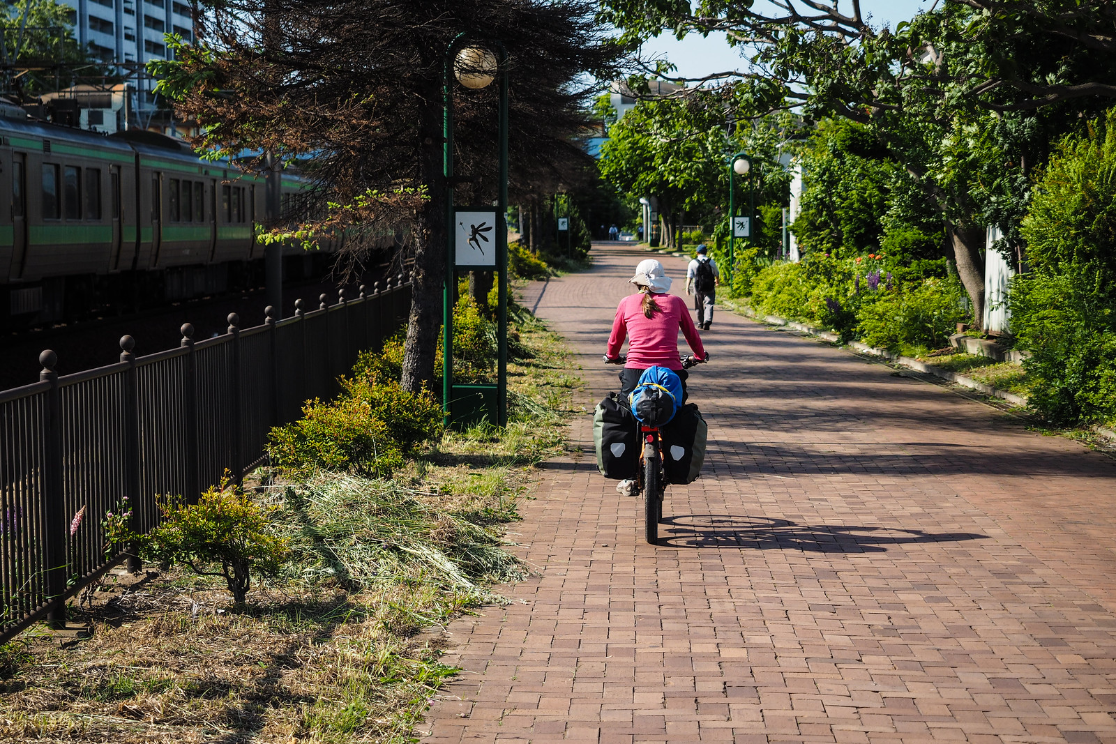
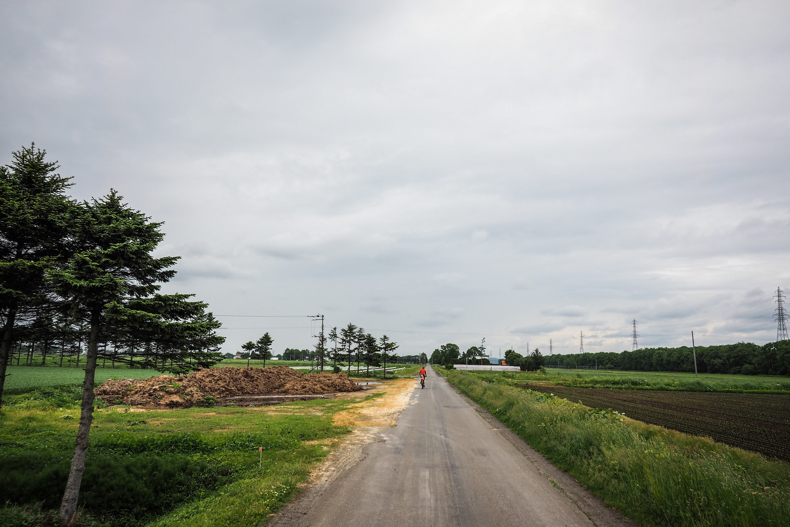
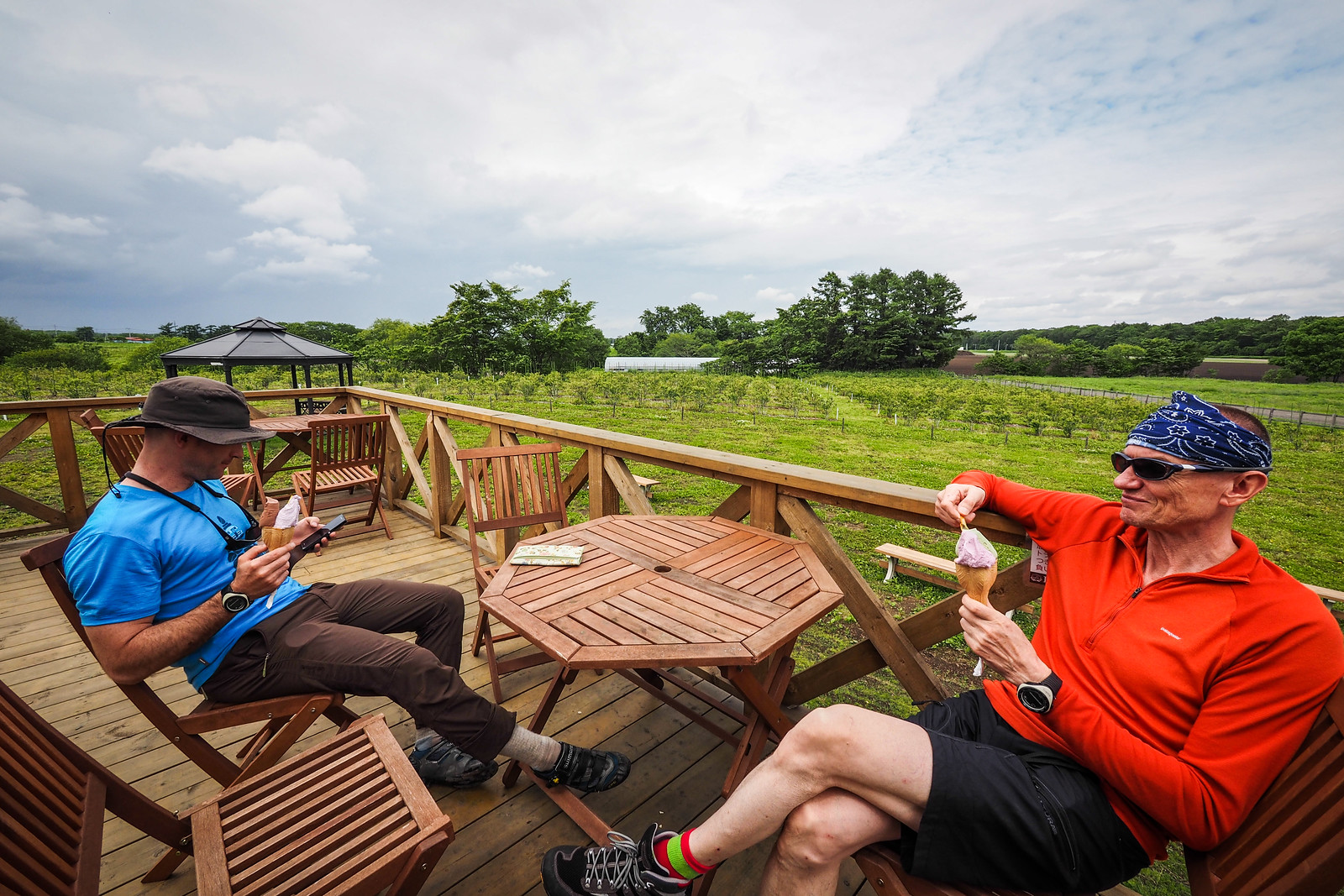
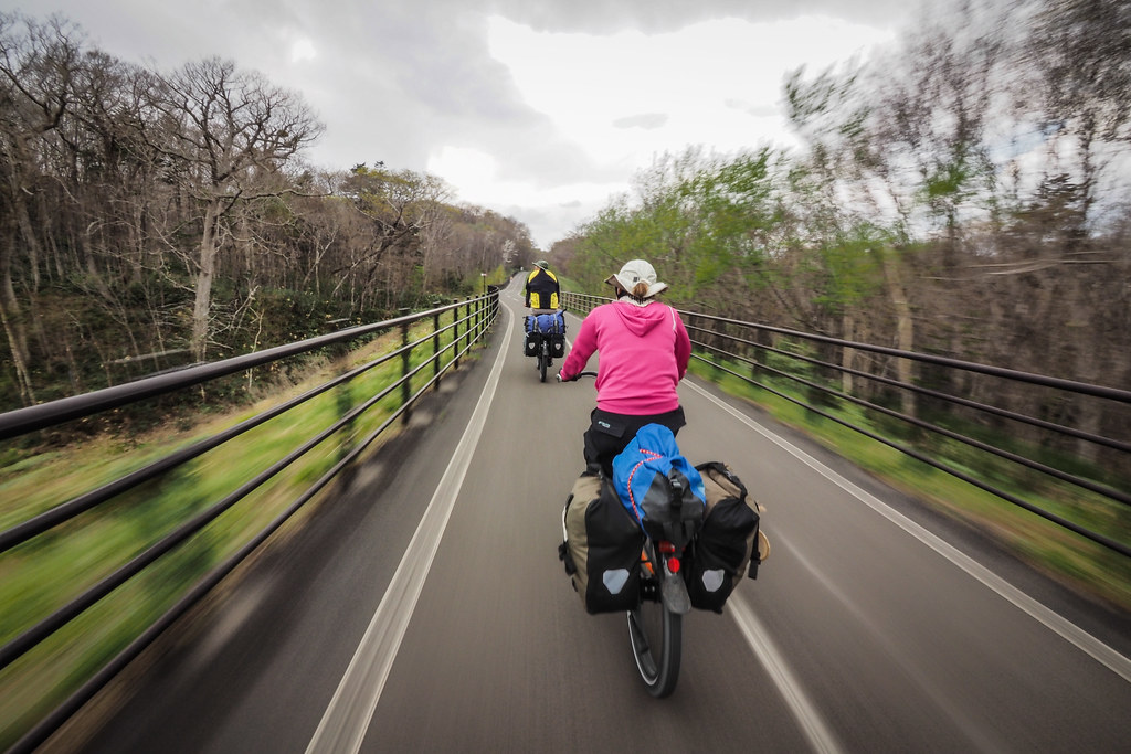
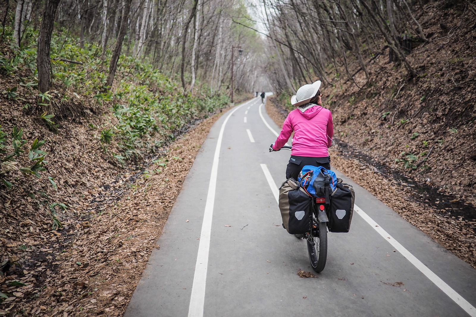
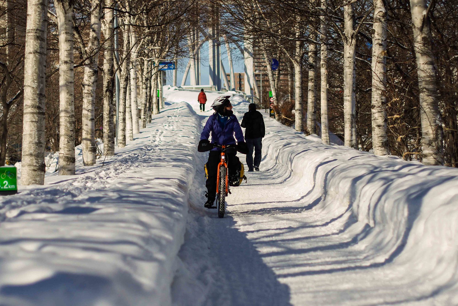
This cycling route from New Chitose Airport to Sapporo City goes via the Kita-Hiroshima/Chitose plains, and links up with the Shiroishi Cycling Road. The Shiroishi Cycling Road is a 20km separated, paved railtrail that runs from Kita-Hiroshima Station most of the way into central Sapporo City. Expect plenty of onsen (hotspring) options along the way, as well as local produce and rural farming vistas.
Route GPS File


Essential details

55km
Distance

4 hrs
Time

225m
Ascent

70m
Highest point

1/10
Difficulty

Apr-Oct
Best season
Need-to-Know Details
- Distance: 55km
- Total climbing: 225m – basically flat apart from a very slight, gradual climb on the Kita-Hiroshima side of the cycleway.
- Road surface: 100% paved
- Packing/unpacking a bike at the airport: New Chitose Airport is a large airport with plenty of out-of-the-way places you can spread out and unpack/pack a bike for travel. Check out my list of bike shops in Chitose for places to get a bike box: http://14degrees.org/a-list-of-bicycle-shops-in-chitose-city-hokkaido-japan/.
- Bike shops: The most well stocked bike shops are in Sapporo. See that link above for a list of good bike shops in Sapporo.
- Resources for cycling in Hokkaido: See my Hokkaido Cycle Touring Routes page.
What to expect along the way
NOTE: All highlights mentioned below are marked on the route map above.
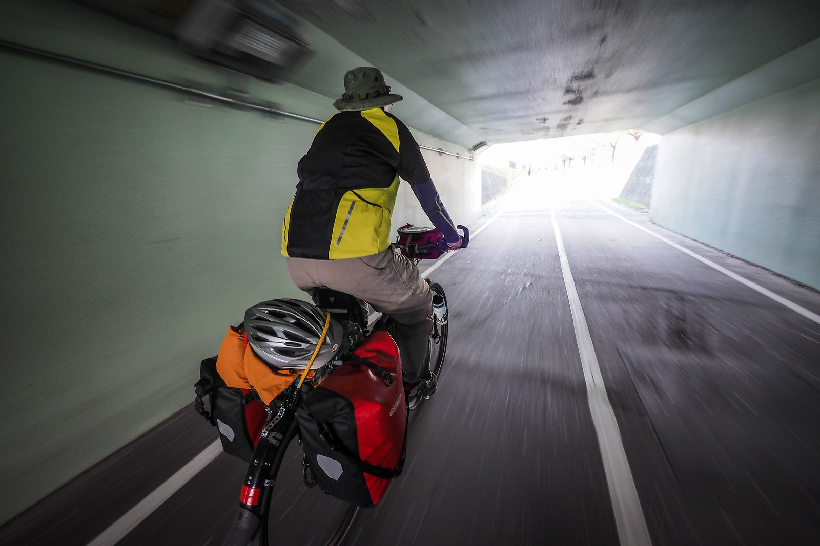
Getting out of the airport: If you want to avoid all large roads at all costs, you can get out of the airport grounds through a gate in the fence here. Take a look at Google Street View to see what I mean. Don’t stress if you can’t find it. The main road, which snakes its way out of the airport under a couple of overpasses, will get you to the same Route 36 into Chitose City proper.
You’ll cycle through the center of Chitose, which is the busiest section of the southern half of the route. Directly north of Chitose JR Station, I recommend getting yourself onto the eastern side of the train tracks – as noted on the route map above. This side is much less busy and the traffic does not move as fast.
Once out of Chitose City, the idea is to zig-zag towards Kita-Hiroshima City, utilizing the grid of farming roads across the Kita-Hiroshima/Chitose plains. So long as you’ve downloaded a map of this area in advance (Chitose Airport has WIFI), you should be able to navigate nicely using your smartphone. Locals will also be willing to help point you in the right direction if you tell them you want to go to Kita-Hiroshima eki (station is eki in Japanese – 北広島駅).
There are some nice gravel river-bank roads if that is your fancy…
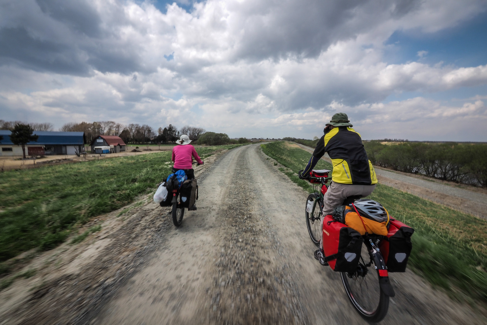
Or, stick to the paved roads for equally traffic-free riding.
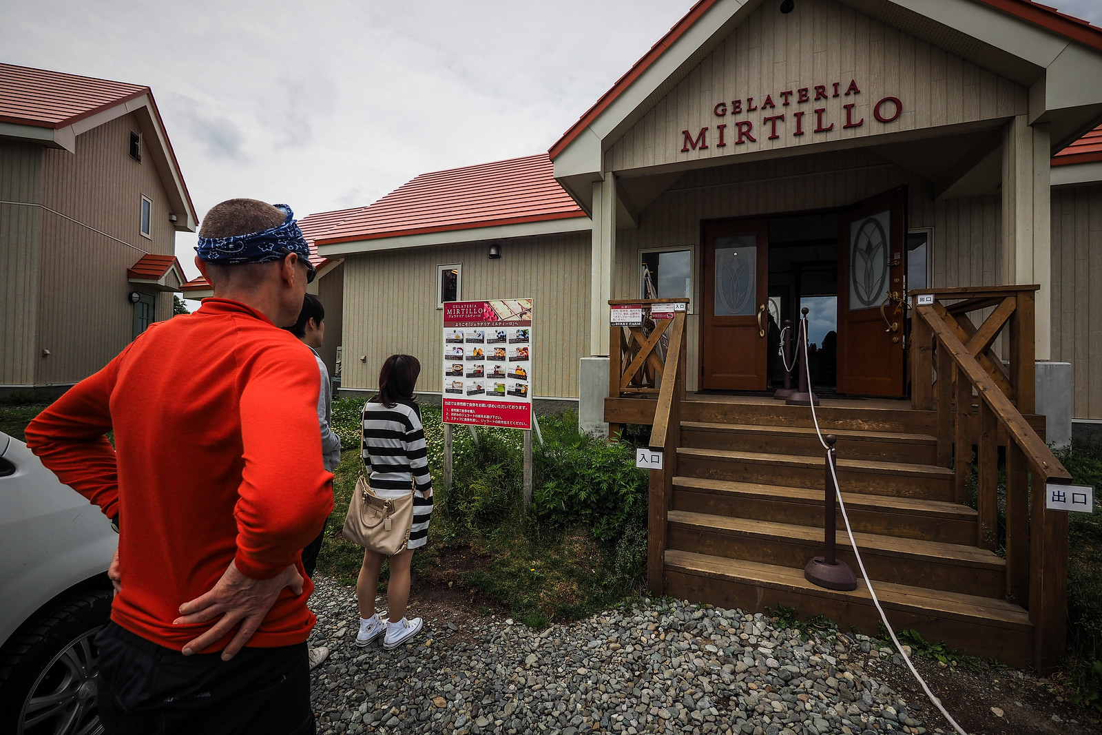
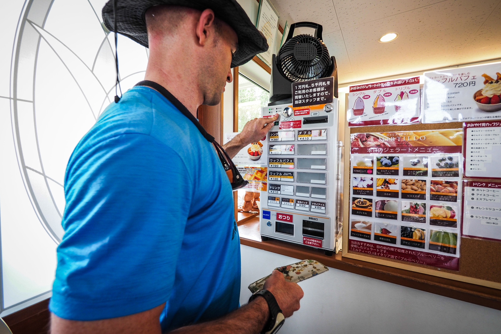
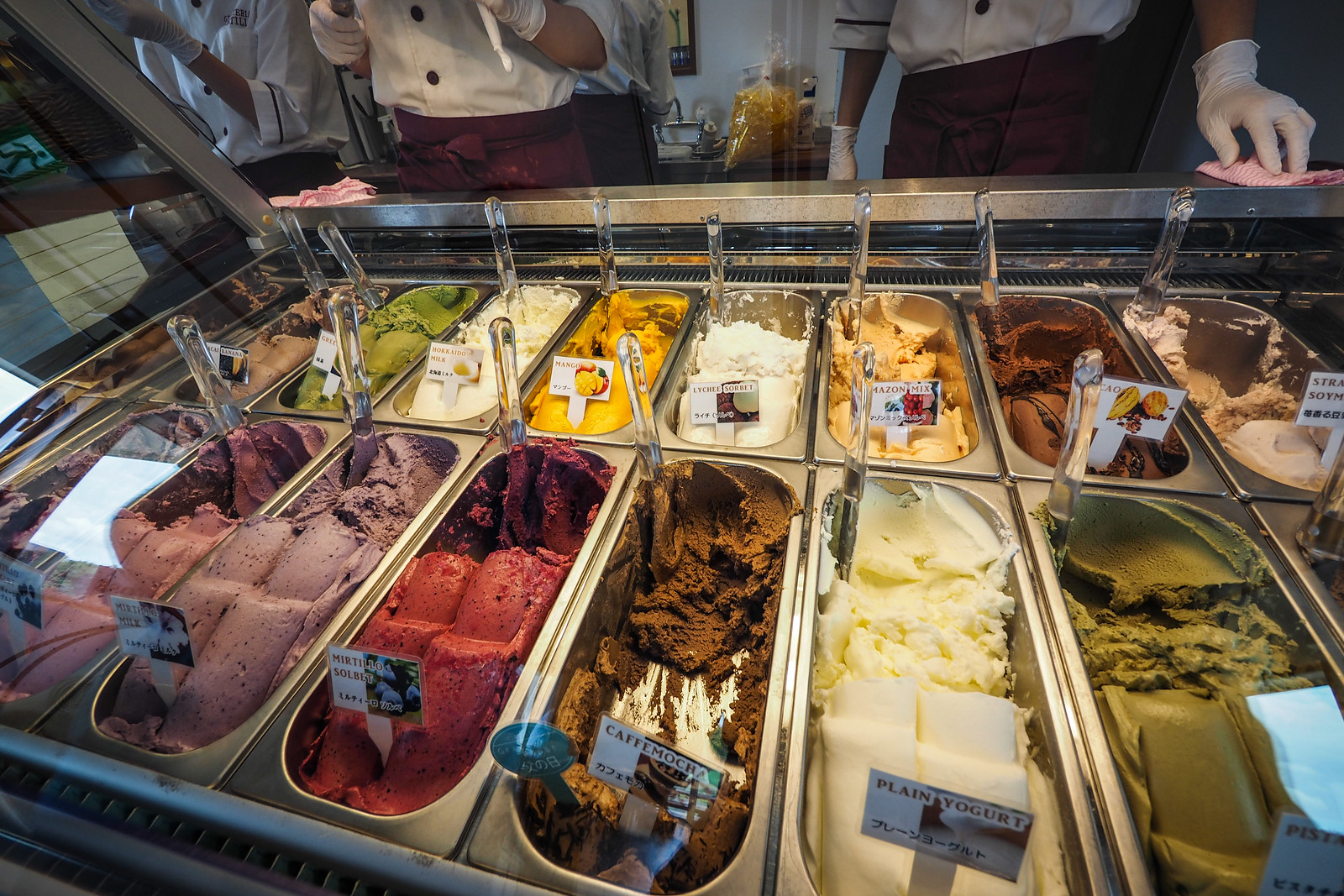
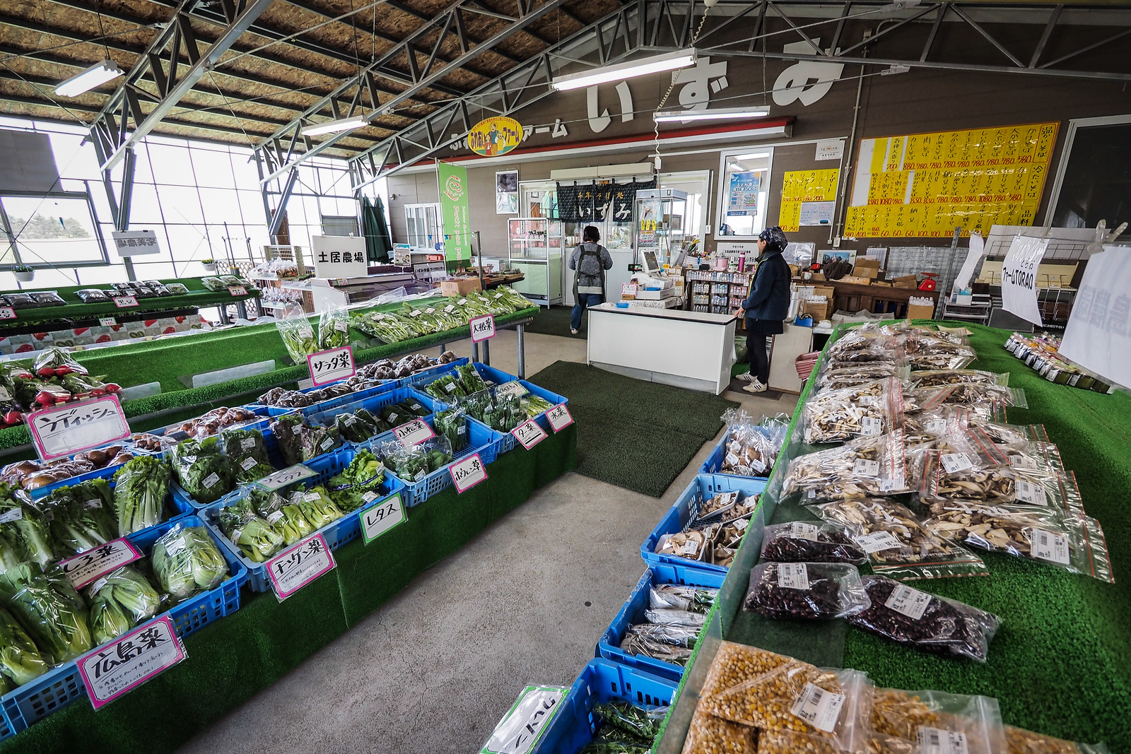
Just outside Chitose City center is a gelato icecream shop that is worth a stop. Location here: https://goo.gl/maps/puWA8pKCi8Q2
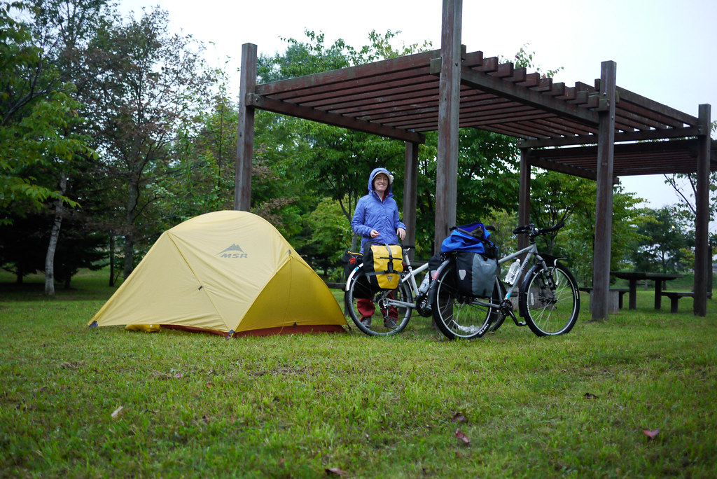
If you want to split the ride up or camp along the way, there are a few spots that will do the job. The official campground in Chitose City’s Aoba Park is beautiful (here), but there are some other spots along the way that are not official campgrounds but parks where wild-camping is possible. One standout place would be the Michi-no-eki in Eniwa (here).
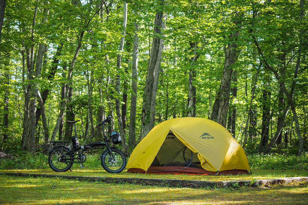
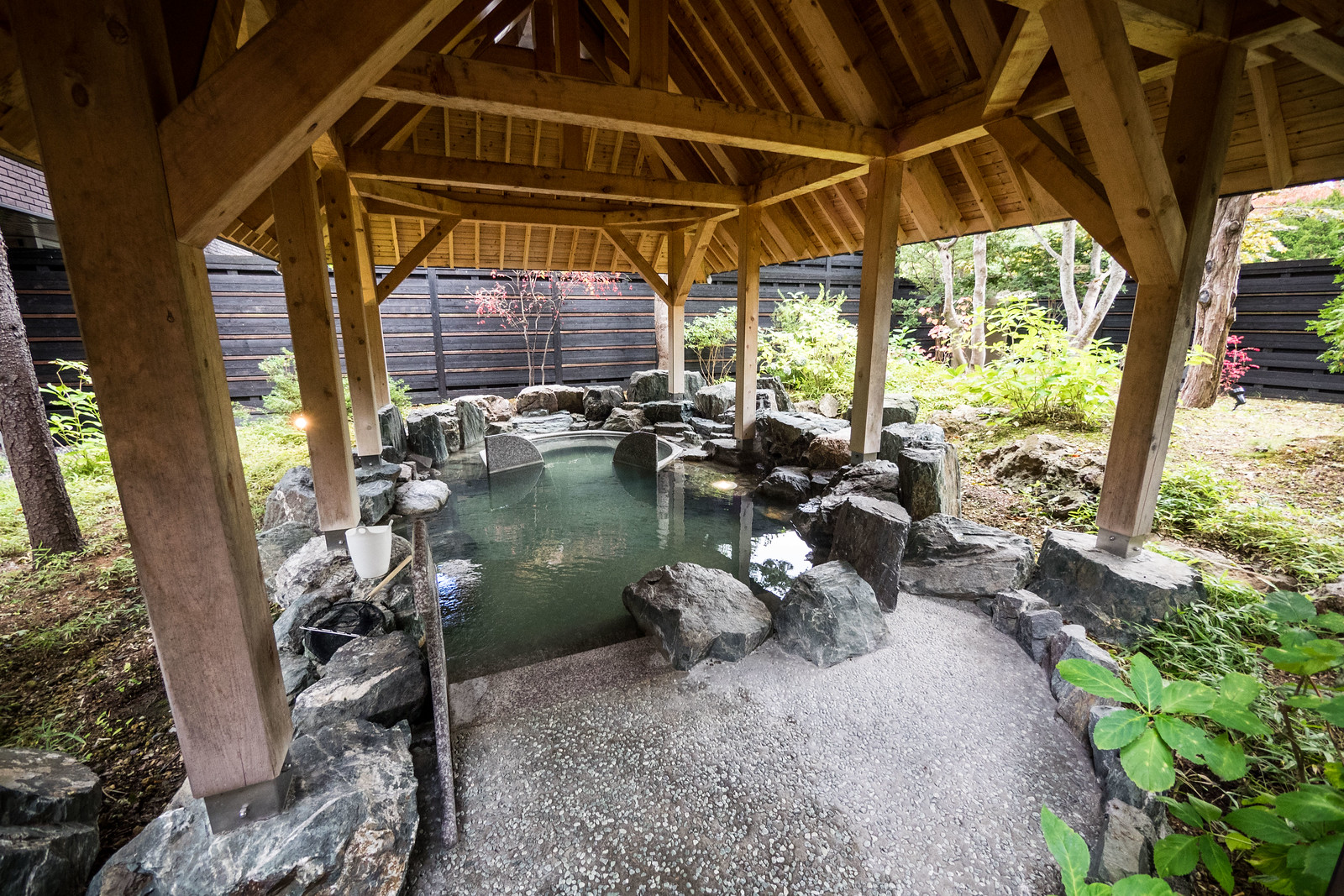
There are also a couple of onsen (hot springs) along the way. First, there’s the airport onsen on the 4th floor. At about 1,500yen to enter, it is one of the priciest you’ll find in Hokkaido, but it is quite a nice experience. The outdoor bath looks out over the carpark – if you stand up and look over the fence, that is.
The next natural onsen is the Chitose-no-yuen here, just south of Chitose Aoba Park. It is not 100% right on the route from the airport to Sapporo, but worth the 2.5km detour if you’re hanging out for a wash and a soak – it has a very large selection of indoor and outdoor baths as well as a sauna. It is in a very handy location for anyone staying at the Chitose Aoba Park Campground (here). Expect to pay around 400yen per person for the onsen here.
The next natural onsen is Eniwa Onsen, one of the Honoka chain of onsens (here). From memory it is less than 700yen per person. You can have meals here too, so it can be a nice stop before you wild camp at the Eniwa MIchi-no-eki park (here).
Just as you’re entering Sapporo on the cycleway, there are two natural onsen near Kaminopporo JR Station, just east of the cycleway. One of them is another Honoka-brand onsen here, but we prefer the Mori-no-yu onsen just up the road here, which has a gorgeous view from the open air baths over some woods. Both have restaurants with very reasonable meals, and both cost around 600yen per person to enter.
Once you’re on the Eniwa-Sapporo Cycling road, then you’re set. This cycling road actually starts at the southern end in Kita-Hiroshima. although there are plans to extend it all the way to Eniwa. The start of the cycling road is on the eastern side of the station, right about here: https://goo.gl/maps/EiG9n5EcXHH2
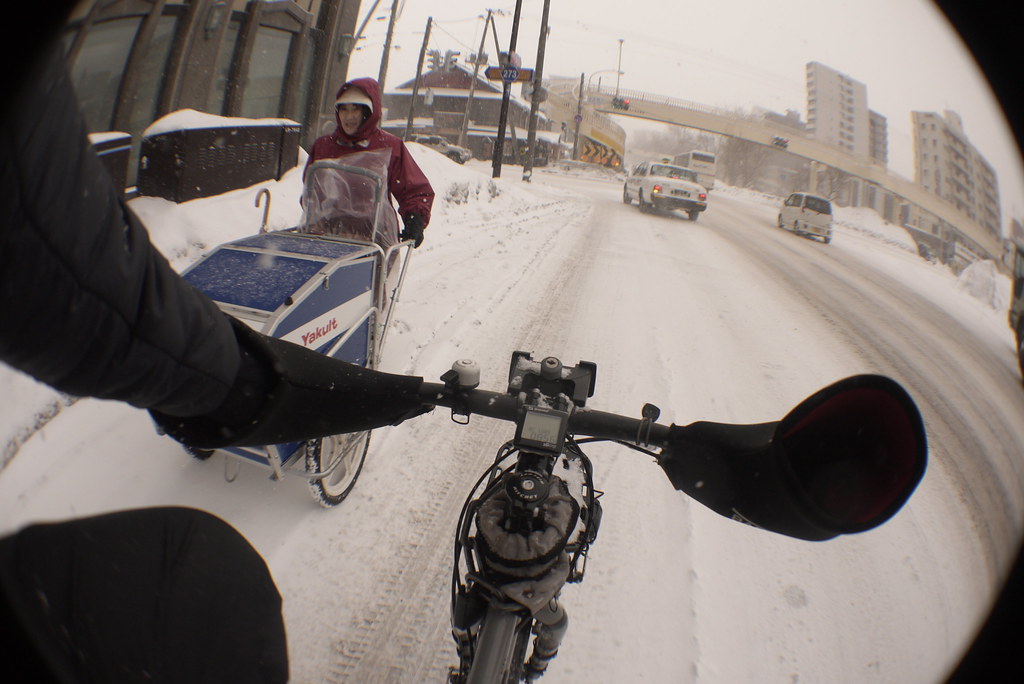
Just in case you’ve decided to embark on a deep-winter Hokkaido cycle tour, you’ll be happy to know that the Shiroishi Cycling road is also open in winter – but only on the Sapporo City side. At the Kita-Hiroshima City border it is impassable on a bike.
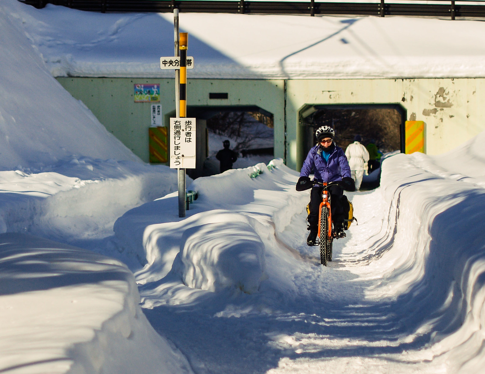
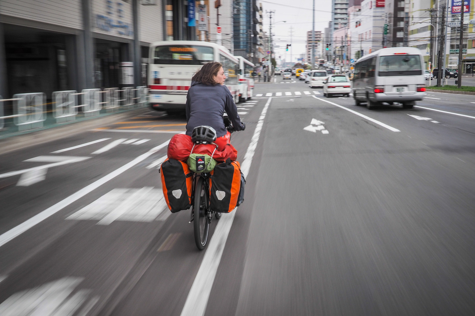
Once you’re in Sapporo City proper, it is a matter of just ‘following your nose’ into the city center. Unlike many ‘mainland’ Japanese cities, Sapporo City’s roads are fairly wide. Traffic moves faster here though, so take your time and enjoy the ride.
If you’re approaching the city in winter, studded tires are not essential, but they give me much more confidence on the rutted, often icy roads.

Option 2 – Via Lake Shikotsu
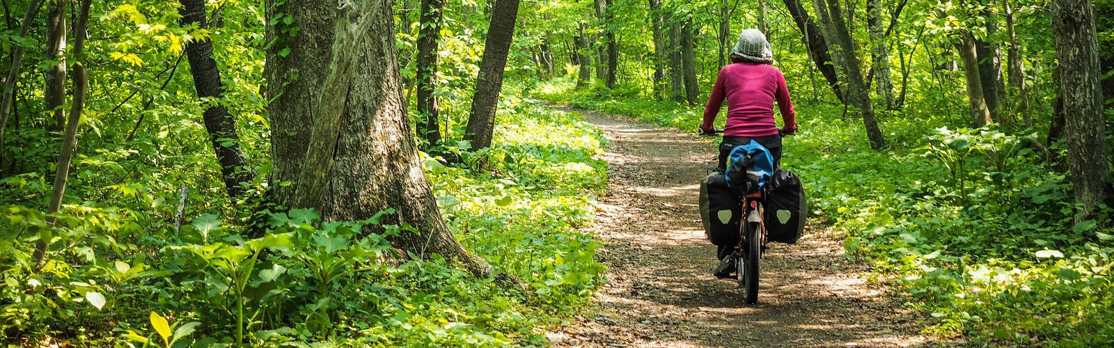
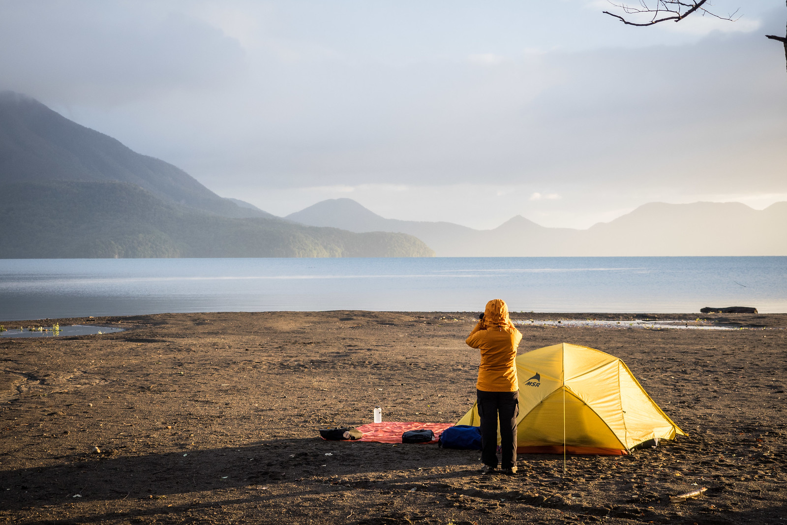
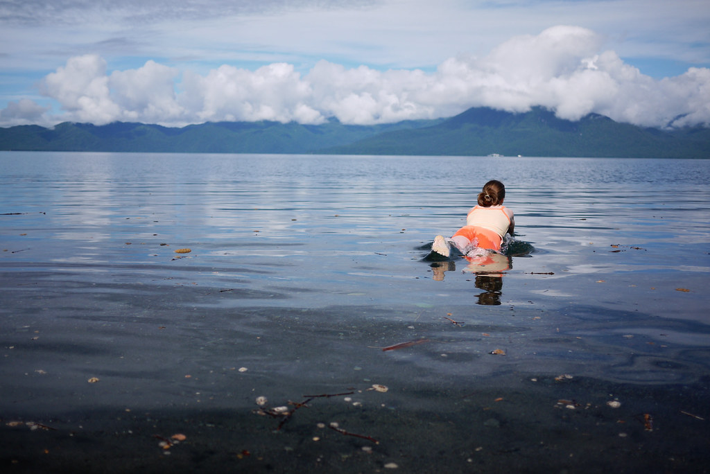
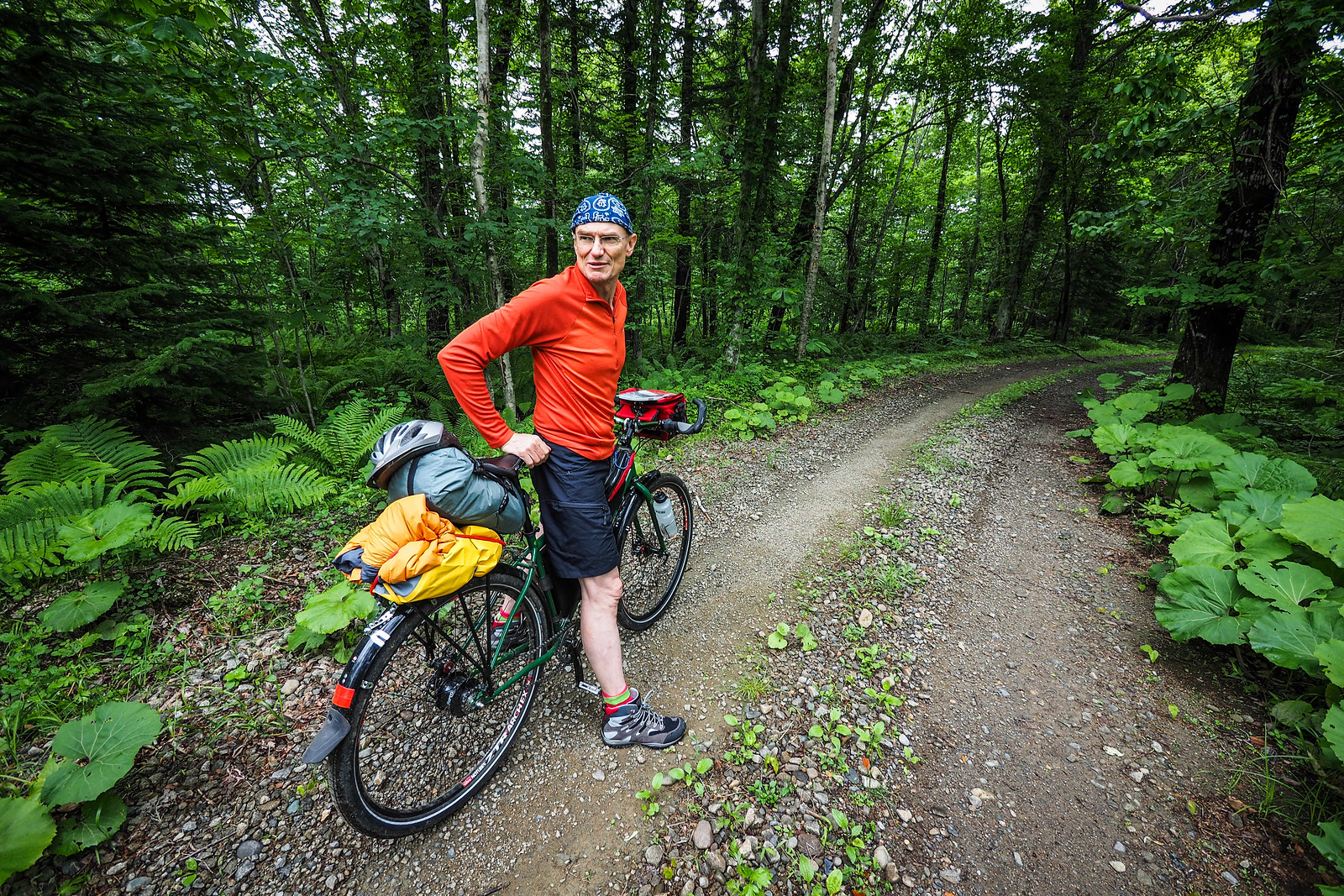
This is the kick-jetlag-in-the-butt route. It is the longest route from New Chitose Airport to Sapporo City, but it is hard to overstate how impressive Lake Shikotsu is. It is a crystal-clear caldera lake surrounded by beautiful forest. At the lake itself there are a few options for campgrounds, as well as a Rider’s House – 1,500yen to stay the night in this two-storey log cabin (shared dorm-style rooms). The onsen at Lake Shikotsu close early at around 3pm though, so you’ll need to be quick if you want a soak. Be warned though, the hills between Lake Shikotsu and Sapporo are not to be taken lightly. Unless you are starting very early from the airport, best to make this an overnight trip, camping at Lake Shikotsu.
Route GPS File
Essential details
81km
Distance
6 hrs
Time
1,100m
Ascent
600m
Highest point
6/10
Difficulty
May-Oct
Best season
Need-to-Know Details
- Distance: 81km
- Total climbing: 1,100m. The climb from Chitose City to the lake is gradual and on a separated cycle path, so is relatively easy going. From Lake Shikotsu north to Sapporo City, however, the route goes over three small passes at around 600m in altitude. Despite it being only about 30km from the lake to central Sapporo, those 30km are hard-earned!
- Road surface: 100% paved
- Preparation: Note that once you’re out of Chitose City, there is very little in the way of services such as supermarkets and stores on this route till you get to Sapporo. Even in Shikotsu Village, there are only tourist-oriented stalls, not even any convenience stores. Make sure you have everything you need for camping before you leave Chitose City. You can get camping gas either at North Ride Plus in the Rera Outlet Mall next to the airport (here), Aeon Supermarket/mall (here) or the Chitose Homac hardware store (here).
- Onsen at Lake Shikotsu: As mentioned above, most onsen at Lake Shikotsu close to day visitors at around 3pm. The only one open till 5pm is the Kyuka-no-mura (休暇の村), here, although they don’t have an outdoor bath. If you’re in Lake Shikotsu Village for lunch and have the cash to spare, consider having a buffet lunch at Mizu-no-Uta hotel, here. The 2,000yen charge includes a delicious buffet lunch plus onsen entry (details).
- Snow: Note that even in early May, there may be snow on the cycleway. From mid to late May is the earliest you’ll want to try to use the cycleway. You can use the road year-round, although with snow on the road it is narrow – and the traffic on the main road moves fast.
- Packing/unpacking a bike at the airport: As mentioned above, New Chitose Airport is a large airport with plenty of out-of-the-way places you can spread out and unpack/pack a bike for travel. Check out my list of bike shops in Chitose for places to get a bike box: http://14degrees.org/a-list-of-bicycle-shops-in-chitose-city-hokkaido-japan/.
- Bike shops: The most well stocked bike shops are in Sapporo. See that link above for a list of good bike shops in Sapporo.
- Resources for cycling in Hokkaido: See my Hokkaido Cycle Touring Routes page.
What to expect along the way
NOTE: All highlights mentioned below are marked on the route map above.
Getting out of the airport: If you want to avoid all large roads at all costs, you can get out of the airport grounds through a gate in the fence here. Take a look at Google Street View to see what I mean. Don’t stress if you can’t find it. The main road, which snakes its way out of the airport under a couple of overpasses, will get you to the same Route 36 into Chitose City proper.
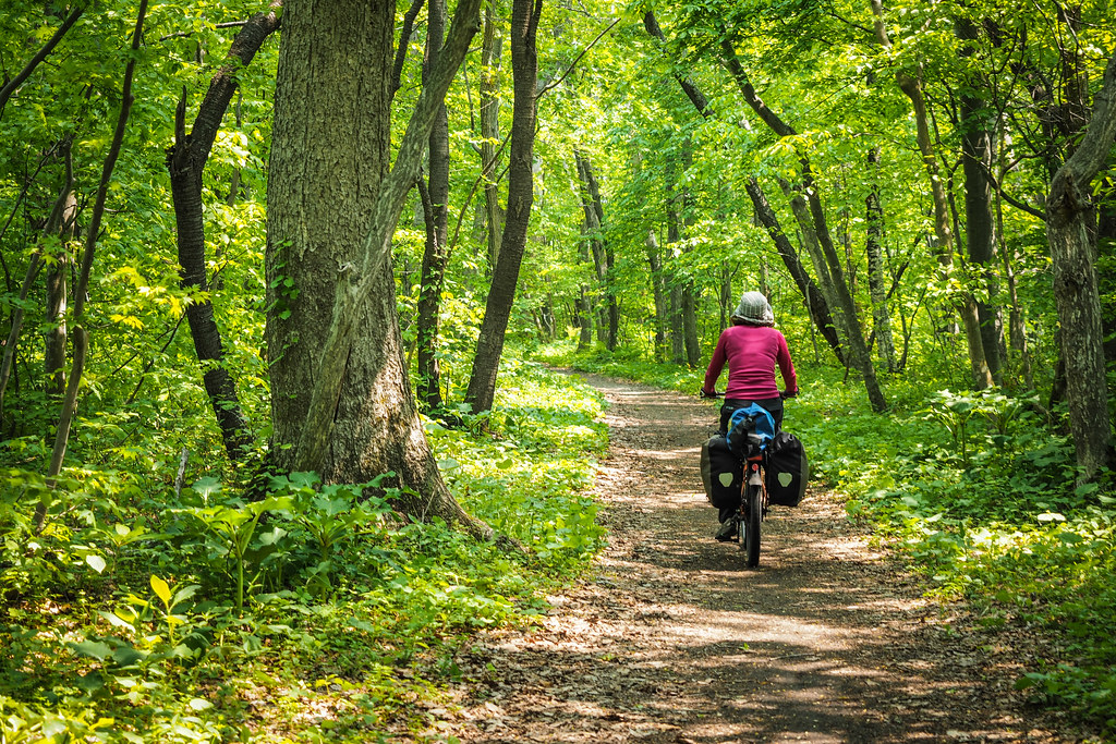
Once in Chitose City, you’ll head west towards the start of the Chitose to Lake Shikotsu cycleway here. This mostly-100% separated cyclepath is a beautifully paved path that cuts through some gorgeous forest on its way to the lake. It is a gradual climb all the way to the caldera lake.
Important to note is that once you’re out of Chitose City, there are next to no services like grocery stores and convenience stores, even at Lake Shikotsu. If you plan to camp at Lake Shikotsu, make sure you’ve got all you need – including snacks – before you leave Chitose City.
There are a couple of camprounds on the shores of Lake Shikotsu. Morappu Campground here is on the eastern side, and Bifue Campground is on the western side (Bifue Campground blog posts here and here). For practical purposes, Morappu Campground is probably the best one to stay at if you’re just passing through.
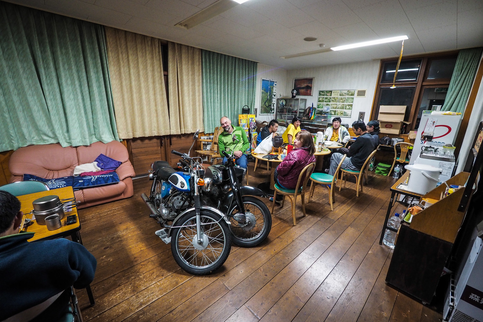
There’s also the Rider’s House next to Morappu Campground here. Rider Houses, found all over Hokkaido and other parts of Japan, are cheap, basic accommodation for motorcyclists, cyclists, and walkers. The one at Morappu costs 1,500yen per night for a spot on the floor of a shared dorm room.
Note that the campground closest to Lake Shikotsu Village (Morappu Campground here) requires a bit of a back-track if you go straight to the village first. Or, if you go straight to the campground, it is a bit of a detour to get to the village. Either way, it is about a 15 minute bike ride from the village to campground.
From the lake, get your climbing legs into gear. You’ll climb up and over the hills southwest of Sapporo City, through beautiful forest. Savor the downhill, and once you’re into the city outskirts, find your way onto the Toyohira River cycle path, which will take you more or less directly into the city center.
Just as an aside, if you’re hankering for some gravel road action, there are some very nice forestry roads on the southern side of the main road that goes from Lake Shikotsu to Chitose City. They are an absolute blast to ride downhill from Lake Shikotsu to Chitose, but would also be a nice quiet option for coming the other way also.
The gravel is pretty coarse, however, so I would recommend sticking to the cyclepath if you’re on skinny tires.
Check out the route map below for the route (download the GPX file here).
Option 3 – National Highway 36
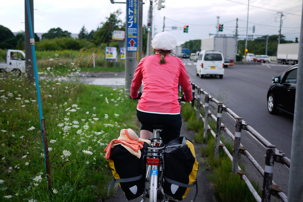
Distance-wise, this is the shortest route from New Chitose Airport to Sapporo City. It is 10km shorter than the infinitely more cycle-friendly route via Kita-Hiroshima and the Shiroishi Cycling Road. That said, you’ll be sharing the road with 4 lanes of heavy traffic at most hours of the day, and you’ll encounter a lot of busy traffic light intersections. Therefore, even if you’re strapped for time, I can’t really recommend this route. It is just miles of character-less strip malls and car dealers. There aren’t even any onsen along the way. The only thing going for this route is that it is brain-dead. Stay on Route 36 – that is, just follow the truck exhaust fumes – and you can’t get lost. It will lead you straight into central Sapporo City.
Route GPS File
Essential details
42km
Distance
3 hrs
Time
300m
Ascent
120m
Highest point
2/10
Difficulty
Apr-Oct
Best season
Need-to-Know Details
- Distance: 42km
- Total climbing: 300m – more or less flat, but with some undulating ups and downs.
- Road surface: 100% paved
- Packing/unpacking a bike at the airport: As mentioned above, New Chitose Airport is a large airport with plenty of out-of-the-way places you can spread out and unpack/pack a bike for travel. Check out my list of bike shops in Chitose for places to get a bike box: http://14degrees.org/a-list-of-bicycle-shops-in-chitose-city-hokkaido-japan/.
- Bike shops: The most well stocked bike shops are in Sapporo. See that link above for a list of good bike shops in Sapporo.
- Resources for cycling in Hokkaido: See my Hokkaido Cycle Touring Routes page.
What to expect along the way
Lots of heavy traffic and traffic lights. Plenty of road signs pointing you in the direction of Sapporo.