Takino Suzuran Hillside Park

滝野すずらん公園

Posted on Mar 24, 2014
1
N
Posted on Mar 24, 2014
1 1
N
8.5km

Distance

3 hours

Time

170m

Ascent

261m

Highest point

2.5/10
Difficulty
Snow Icon | Hokkaido Wilds
Jan-Mar

Best season

Takino Suzuran Park in winter is a great place for a day out. It is a gargantuan 395 hectare park. It is a national government run park and in winter it is free to enter. It is a treasure trove of winter outdoor activities including cross-country skiing, tubing, and even a bit of downhill for beginners.

Last updated Apr 2, 2021

Route Map

Need to know details

Location

Takino Suzuran Park is in Sapporo City’s Minami-ku Ward, about 15km south of the city center (here). In this route guide, we start from the Keiryu-guchi Entrance on the northern side of the park (here).

General notes

For those really into cross-country skiing in Sapporo, Takino Suzuran Park is one of the best locations for it in the city. There are tens of kilometers of undulating, well-kept tracks. I’m not at all very good at cross-country skiing, but we’ve been a couple of times. This route guide is a meandering loop around the two waterfalls near the Keiryu-guchi entrance to the park, and up to the little ski field up the hill from the entrance.

Hut
None
Route details

The cross-country ski routes in the park are well marked and well-groomed.

Route Timing

Transport

Public transport:

To get to the park by public bus, catch the 真106 bus from the No. 2 platform at Makomanai subway station, headed for Suzuran-Koen Higashi-guchi  (すずらん公園東口). It’ll cost 440yen, and take 31 minutes. See the most up to date information here (in Japanese). There’s about one bus per hour, starting from 8:45am.

By car:

There is ample parking at the Keiryu-guchi carpark here.

Physical maps
Official Topo Map: Soranumadake (空沼岳) – map no. NK-54-14-11-4
Official Topo Map 2: Shimamatsu-yama (島松山) – map no. NK-54-14-11-2

NOTE: The official 1/25000 topo map(s) above can be purchased for 350yen from Kinokuniya bookstore next to Sapporo Station or online (in Japanese).

Aspect
The main aspect skiers are exposed to on the descent and/or ascent is North. Therefore, keep an eye on the weather forecast a few days ahead of your trip to monitor wind, snow, and temperature. Also, since this route is in the general vicinity of the Shiribeshi area, consider looking at the Japan Avalanche Network avalanche bulletins (updated Tuesdays, Thursdays, Saturdays at 8am) or the daily Niseko Avalanche Information website. These may give extra insight into avalanche conditions in the greater area around the route.

Snow and
route safety

Takino Suzuran Hillside Park Difficulty Rating

Category

Grade

Points

Strenuousness

Vertical Gain

D

25

Time ascending

D

0

Technicality

Altitude

D

0

Hazards

D

0

Navigation

D

0

Totals

25/100

GRADES range from A (very difficult) to D (easy).  More details here. Rating rubric adapted from Hokkaido Yukiyama Guidebook 北海道雪山ガイド.

Weather forecast

Windy.com weather forecast for Takino Suzuran Park
Onsen nearby

Midori Onsen (天然温泉 緑の湯) ( in Sapporo City (here) is an OK option, if you’re heading back into town.

Extra Resources
No extra English resources that we know of. If you know of any, please let us know in the comments.

Guide Options

If you’d like to ski this route and/or explore other hills around Sapporo together with a local certified guide, get in touch with either Wataru Nara or Yasuko Kikuchi. They’re both Hokkaido born-and-bred Sapporo-based JMGA-certified guides. They both cut their teeth on peaks including those around Sapporo City and have taken part in major international expeditions. In addition, see a full list of English-speaking Hokkaido Mountain Guides Association (HMGA) guides on the HMGA website here

Support us

Like this content? Buy the HokkaidoWilds.org team a coffee. 50% of tips go to the Hokkaido Wilds Foundation.

Show Full Route Notes Close Route Notes

Route Trip Notes

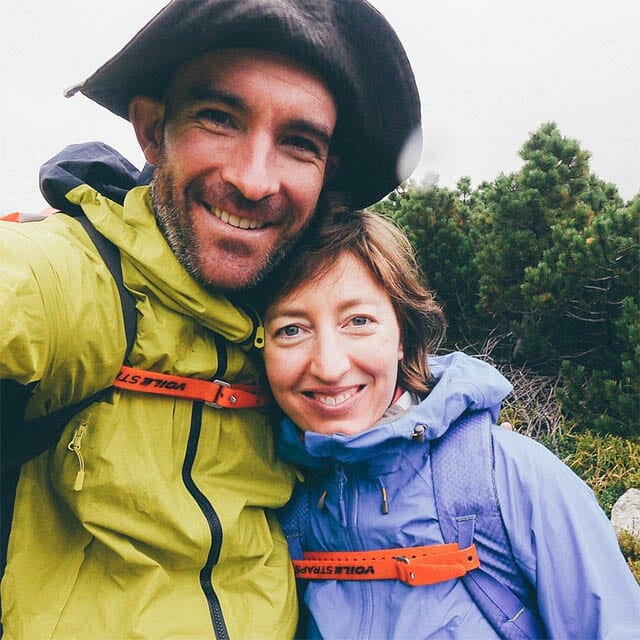
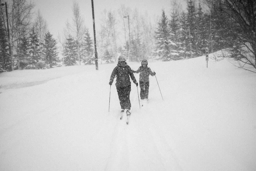
I spent most of today’s jaunt around Takino Suzuran Park on cross-country skis wondering why it had taken us three years to visit Takino Suzuran Park, on the outskirts of Sapporo. This gargantuan park, 395 hectares of it all, is a national government run park. In winter it is free to enter, and is a treasure trove of winter outdoor activities. We finally made the 45-minute bus ride there because Haidee’s sister, Kylee, was visiting from New Zealand, and we wanted to check out the nordic skiing on offer. The park did not disappoint.

Essentially, it was dumping big fluffy gobs of spring snow all day. We had wanted to show Kylee what Sapporo’s proper winter looked like, and our desires were being met.

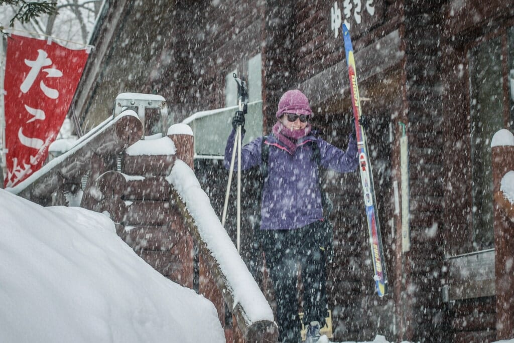
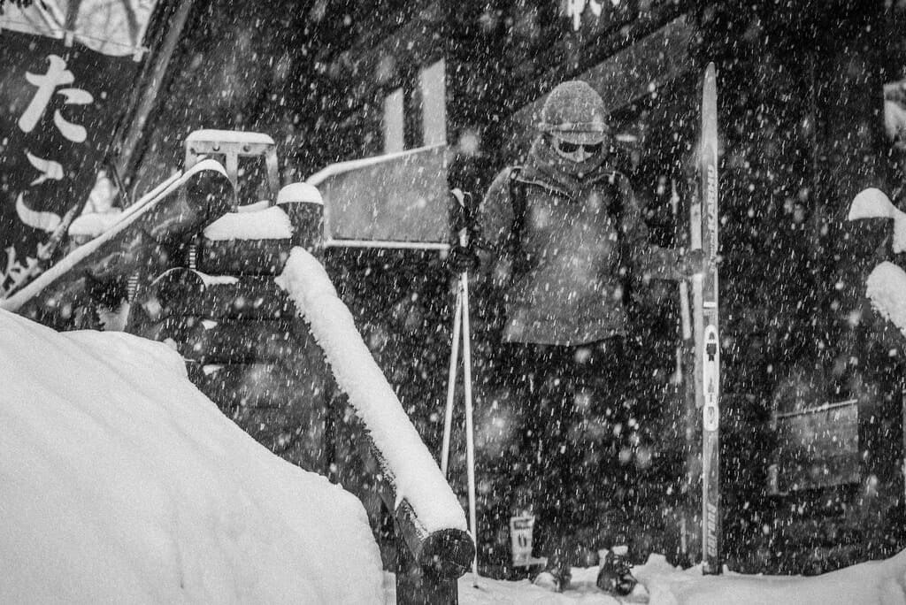
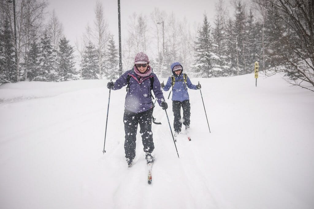
We caught a bus from Makomanai Subway station, direct to the Suzuran Park Keiryu-guchi bus stop. This bus stop is the first of three bus stops in the park itself. From there, we walked a few minutes through the snow to Lodge Yukizasa, where we hired nordic skiis (800 yen each for the day).

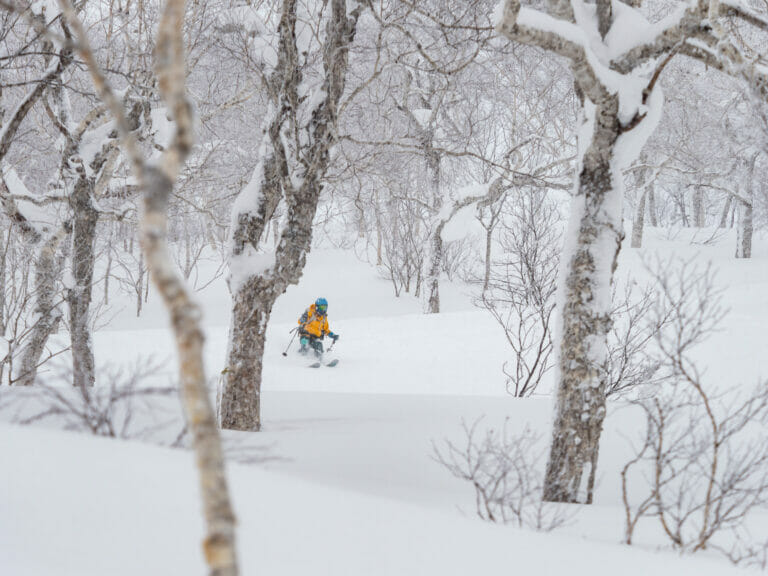
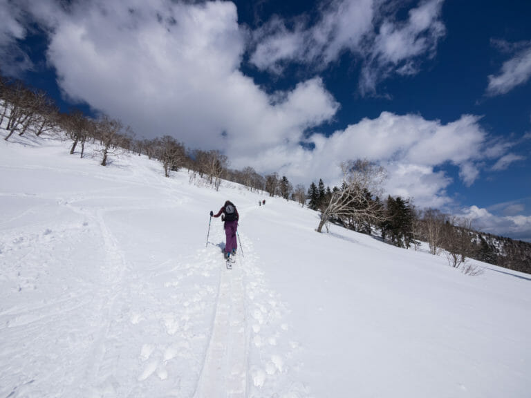
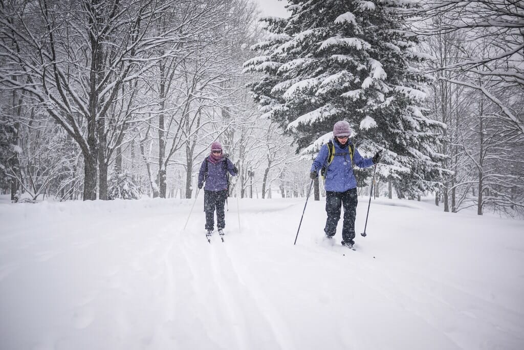
This was only the first (Kylee) or second-ish (Haidee and Rob) time we had used nordic skiis. They were easy enough to get the hang of though, and we were soon gliding through the powdery snow.

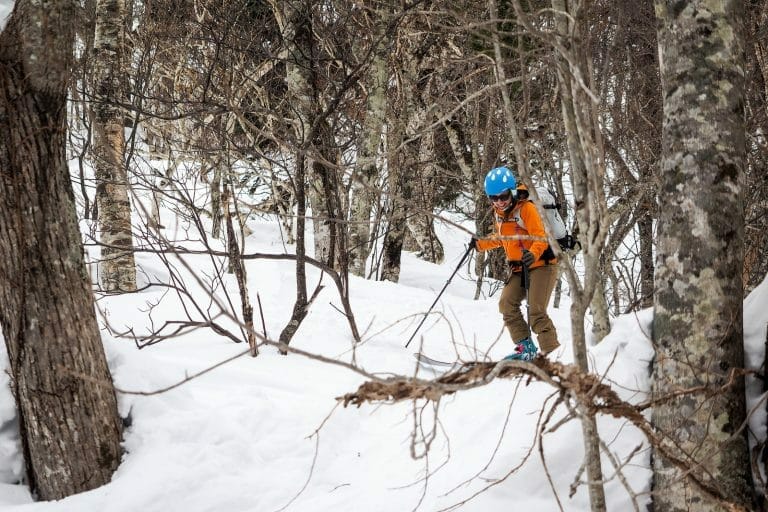
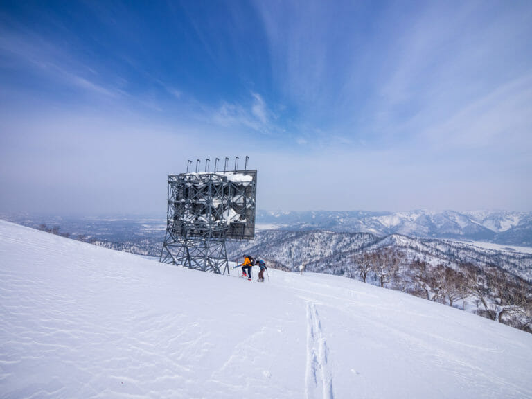
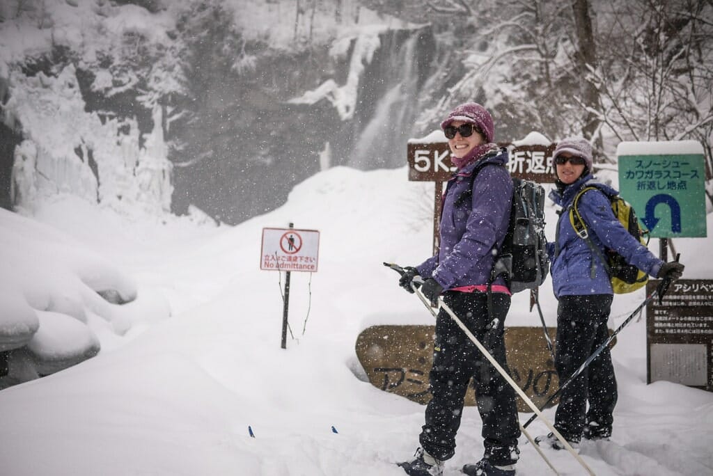
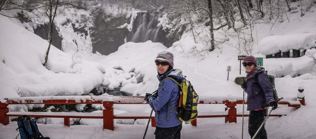
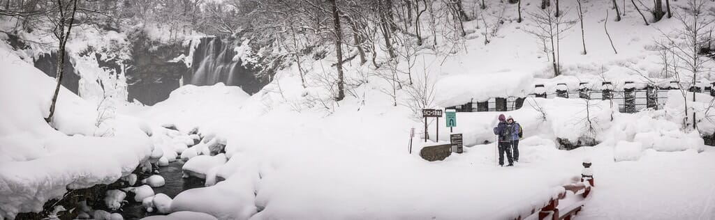
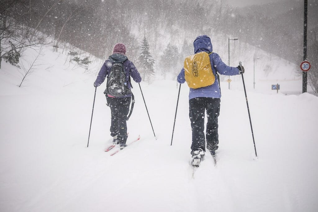
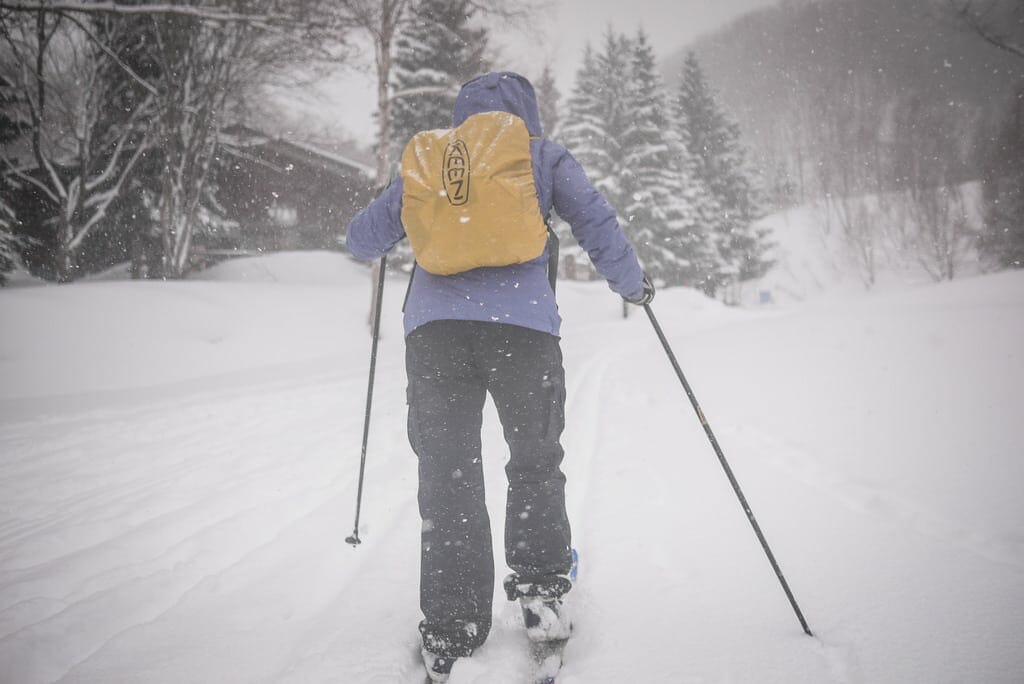
We opted to stick to the beginner’s course to start with; a 2km ski through mostly flat terrain to a frozen waterfall. We soon grew more bold, and decided to head up to the Country House for lunch. This required a stiff climb up the park, but promised a gentle easy ski back down to the lodge.

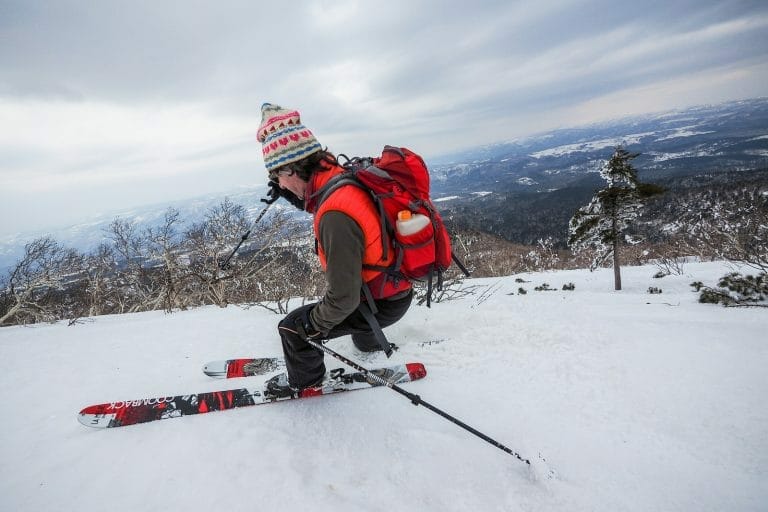
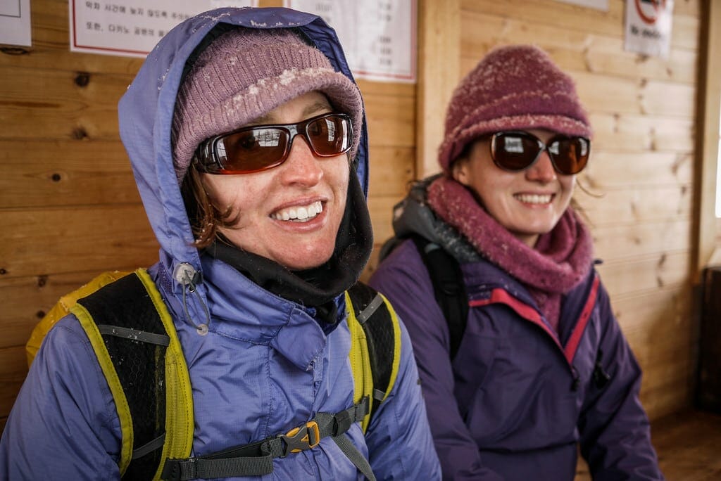
Lunch at the County House, at the top of the small ski field near the center of the park, was sufficient. It was nothing special, but the prices were cheap (US$8 for a medium-sized lunch).

And then came the downhill. Not too steep to cause too much concern. All in all a great day out, and it has me all motivated to learn a little bit more about cross-country skiing for next season.

Comments | Queries | Reports

Done this route to Takino Suzuran Park, or others nearby? Thinking of doing it? Please post any feedback, reports, or queries here. Thanks!

1 thought on “Takino Suzuran Hillside Park”

  1. Pingback: Japan visit

Leave a Reply

Your email address will not be published. Required fields are marked *

This site uses Akismet to reduce spam. Learn how your comment data is processed.

See More Like this

Printable Takino Suzuran Park Topomap

TOPO DOWNLOAD (PDF, 19.3MB)

Download may take some time

Hokkaido Wilds Foundation

We’ve got affiliate links on HokkaidoWilds.org to help fund the Hokkaido Wilds foundation.

The Foundation gets a small commission on sales from affiliate links, but we only link to stuff we think is worth checking out for people keen on the outdoors in Hokkaido and Japan.

The Hokkaido Wilds Foundation is a fund where 100% of funds are donated to Hokkaido volunteer groups involved in sustainable, safe, and responsible access to the Hokkaido outdoors.

Learn more here

ADVANCED FILTERS

Filter by location

About Filters

REGION: The general mountain/geographical region the route is in.

BEST MONTH(S): Time of year a route is suited to visiting. Some pop all season, some are more limited.

DIFFICULTY: How strenuous a route is, and how technical it is. Full details here.

FREERIDE/SKITOUR: Very subjective, but is a route more-of-a-walk-than-a-ski or the other way around? Some routes are all about the screaming downhill (freeride), some are more about the hunt for a peak or nice forest (ski-tour). Some are in between. 

MAIN ASPECT: Which cardinal direction the primary consequential slope is facing, that you might encounter on the route. More details here.

ROUTE TAGS: An eclectic picking of other categories that routes might belong to.

SEARCH BY LOCATION: You can find routes near your current location – just click on the crosshairs (). You may need to give permission to HokkaidoWilds.org to know your GPS location (don’t worry, we won’t track you). Or, type in a destination, such as Niseko or Sapporo or Asahikawa etc.

Please let us know how we can make it easier to narrow down your search. Contact Rob at rob@hokkaidowilds.org with your suggestions.

Takino Suzuran Hillside Park Difficulty Rating

Category

Grade

Points

Strenuousness

Vertical Gain

D

25

Time ascending

D

0

Technicality

Altitude

D

0

Hazards

D

0

Navigation

D

0

Totals

25/100

GRADES range from A (very difficult) to D (easy). Hazards include exposure to avalanche and fall risk. More details here. Rating rubric adapted from Hokkaido Yukiyama Guidebook 北海道雪山ガイド.