


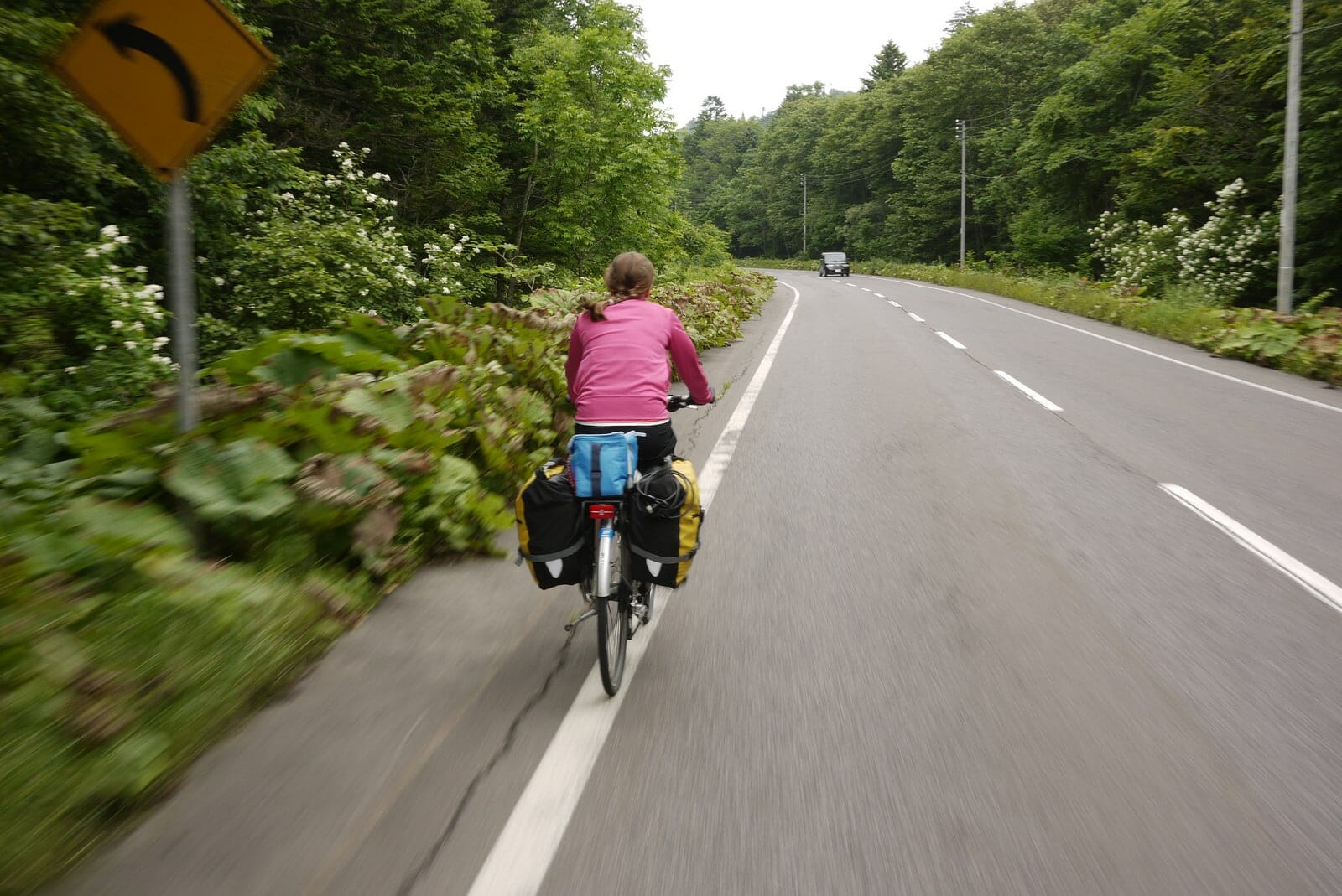
Distance: 42km | Ascent: 200m | Paved: 100% | ↓ GPX file
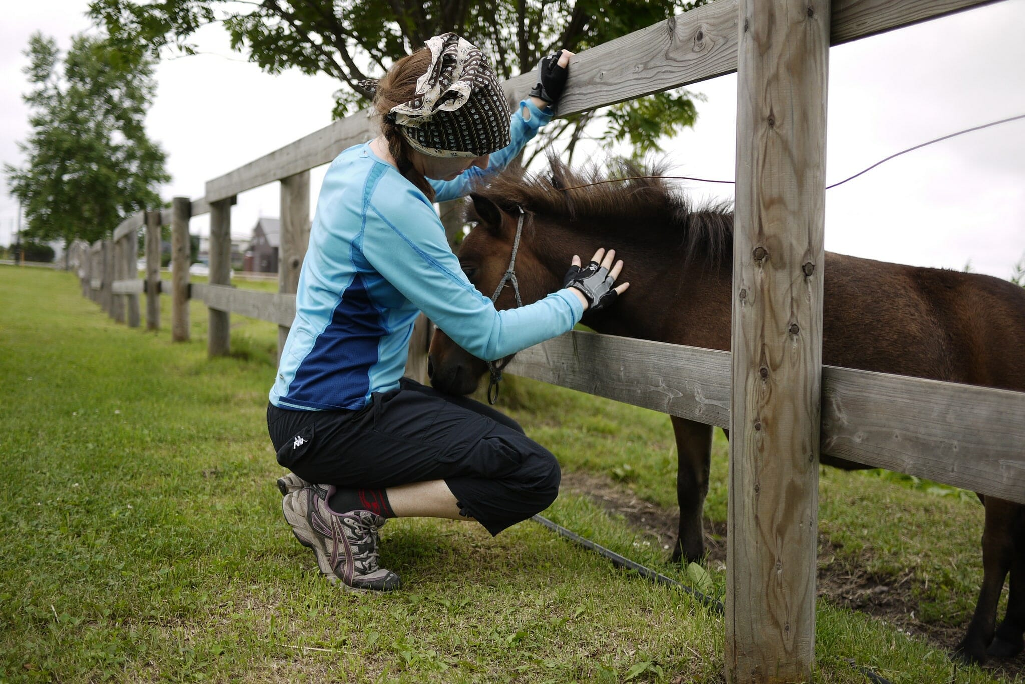
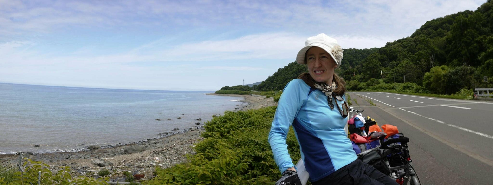
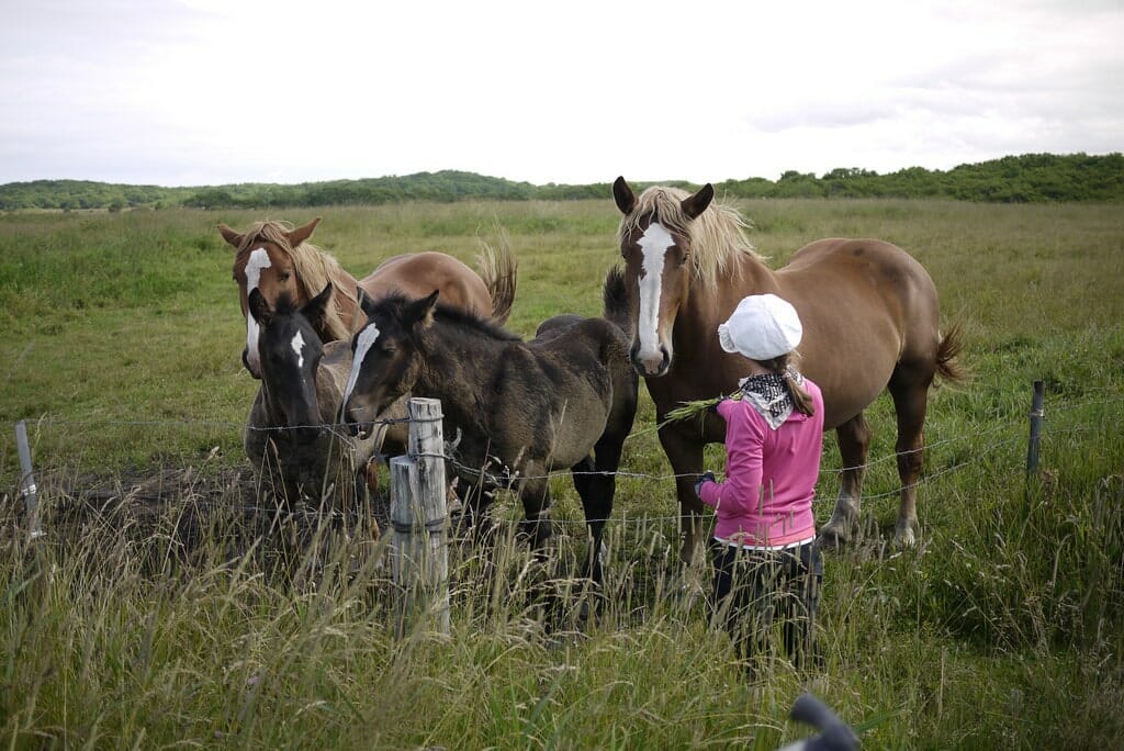
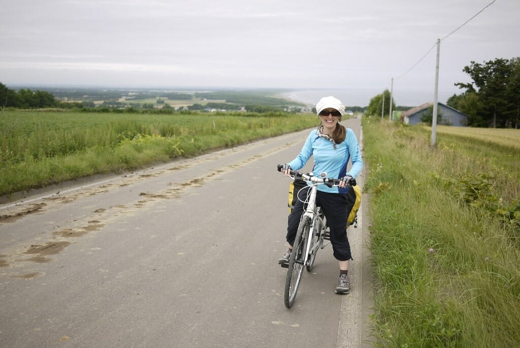
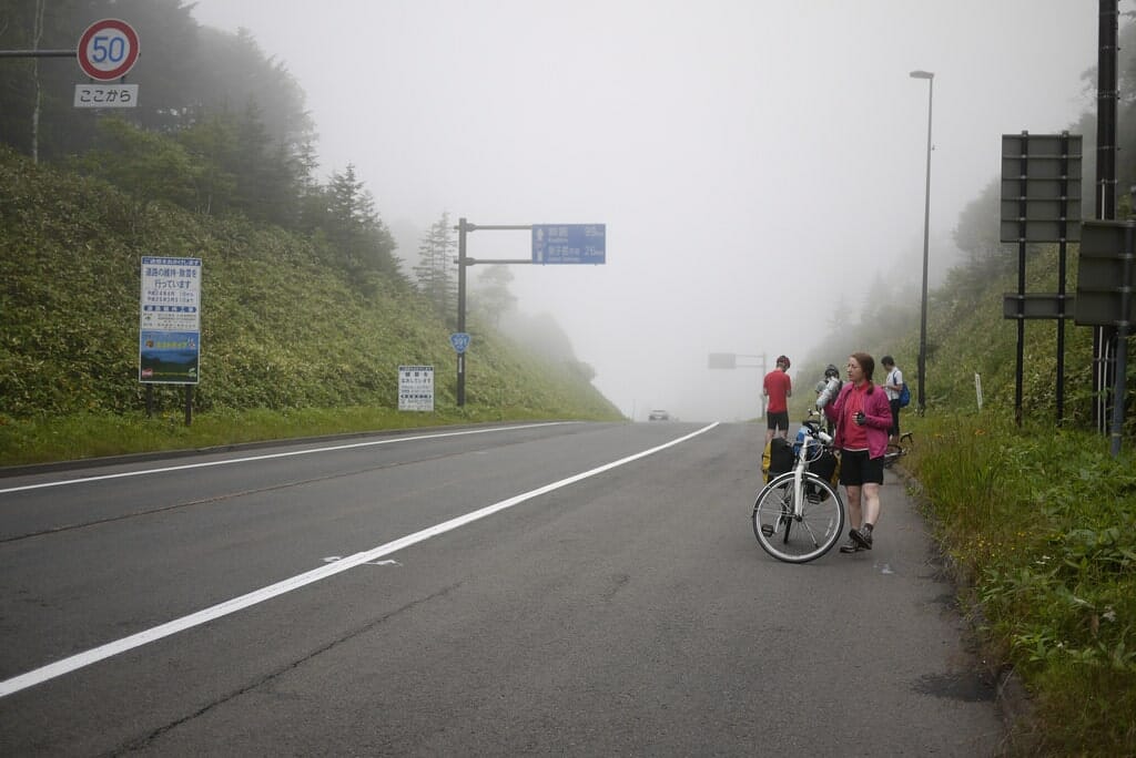
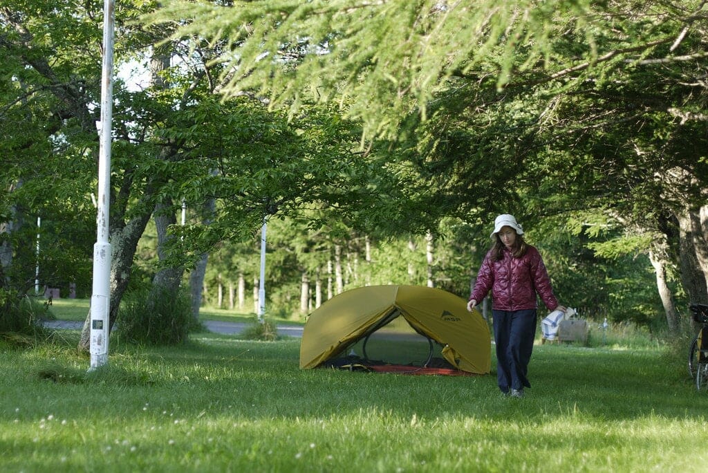
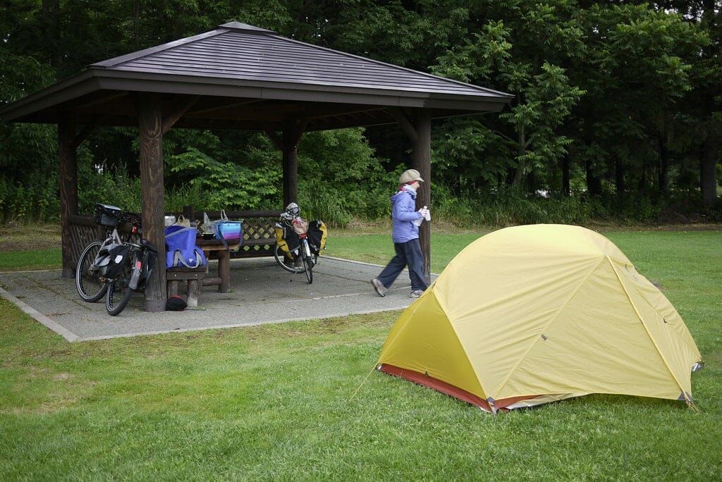
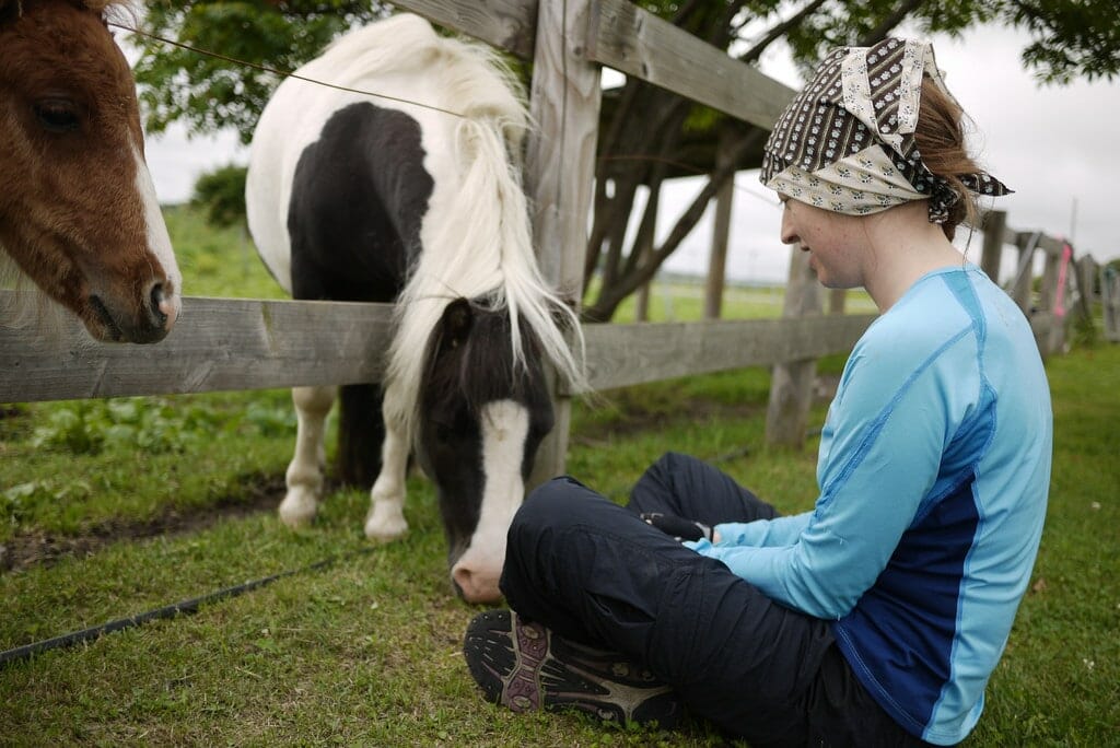
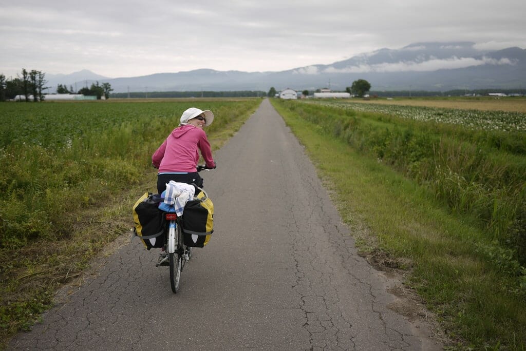
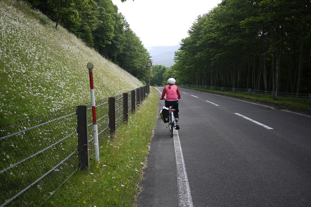
With the Shiretoko Peninsula getting most of the attention, it is easy to underestimate this lovely section of coast. Make sure to drop in to the wild bird sanctuary, and head another 100m down the road to a small paddock where miniature horses are sometimes kept. Back on the main road and further along on the right side is a large paddock, home to larger horses. The wild flower covered sand dunes are said to be beautiful when in bloom, but we’ve always managed to miss them. Shari Town is a quaint little village, and the Soyokaze Campground is a worthy place to camp for the night. Approaching Shari Village, it is recommended to stay off the busy Route 244; the side roads are quiet and much more welcoming.
Blog post: Shiretoko Loop Tour Day 2: Abashiri to Shari
Accommodation: Shari Soyokaze Campground (斜里そよ風キャンプ場) | 500 yen per tent
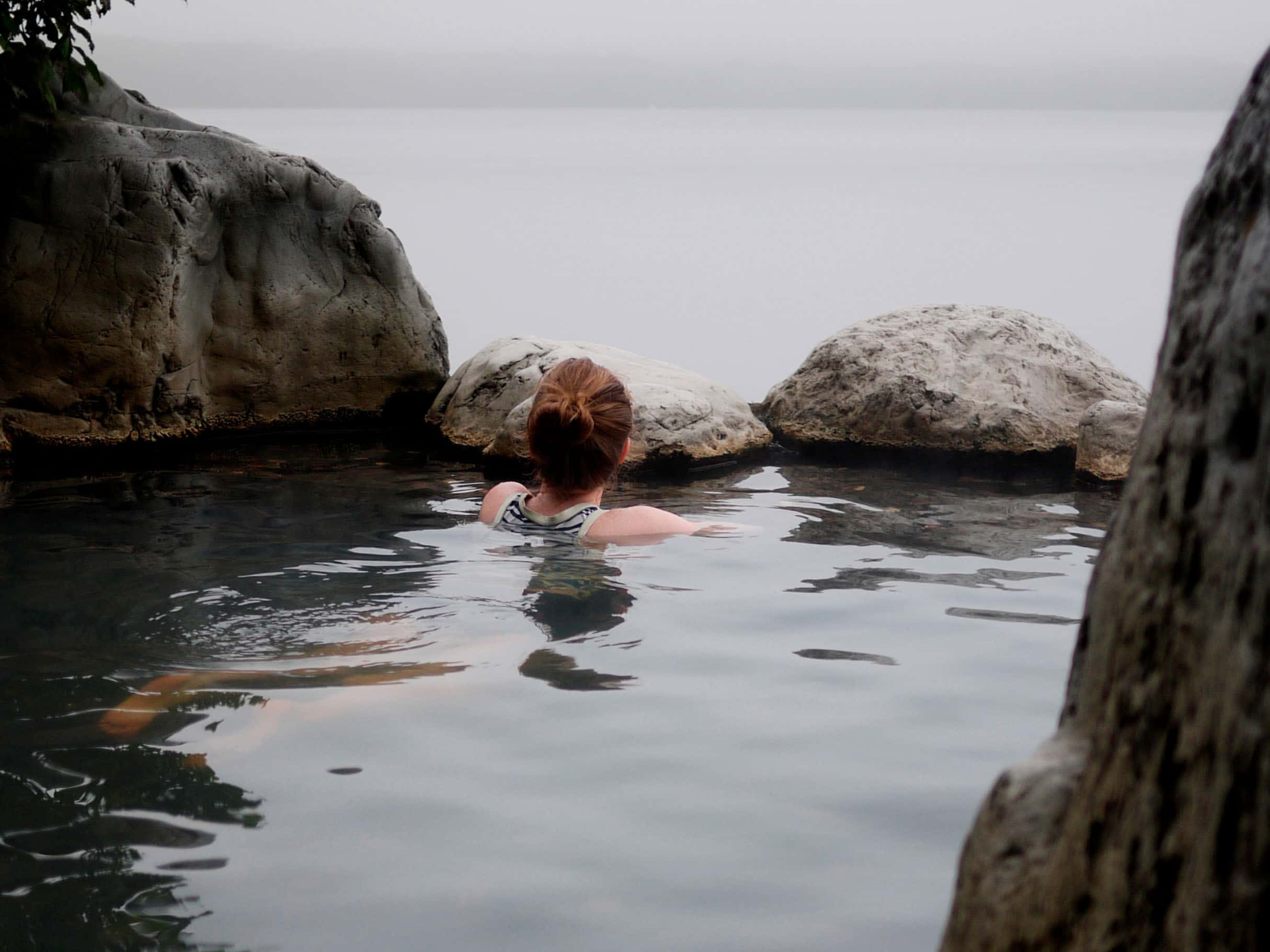
Onsen: Green Onsen (グリーン温泉) | 420yen | 4km from accommodation
Distance: 37km | Ascent: 560m | Paved: 100% | ↓ GPX file
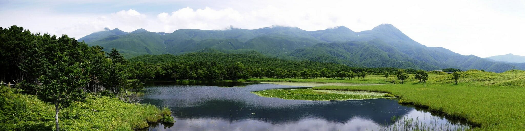
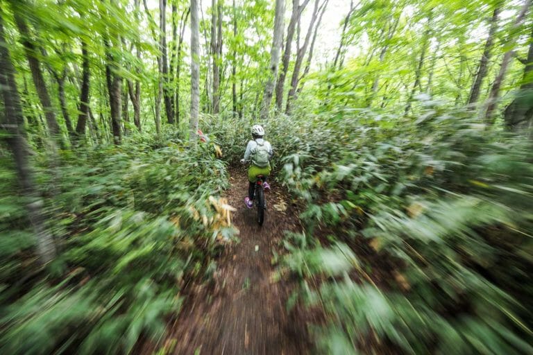
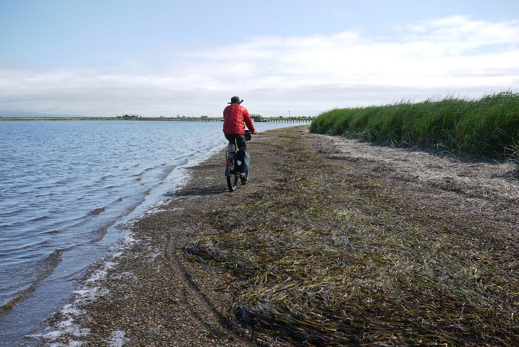
Today’s ride thrusts you into the guts of the gorgeous Shiretoko National Park. Once you’ve conquered the 5km or so of narrow road at the very start of the peninsula, the route opens out to a wide, well kept road with a wide raised foot path on the ocean side. The old kissaten (cafe, location here) overlooking a little fishing port, just before the widened road is worth dropping into. The interior is dated, but the owner is lovely and they have a great view. The coffee is typical Japanese kissaten style: dark and strong.
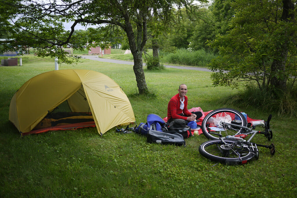
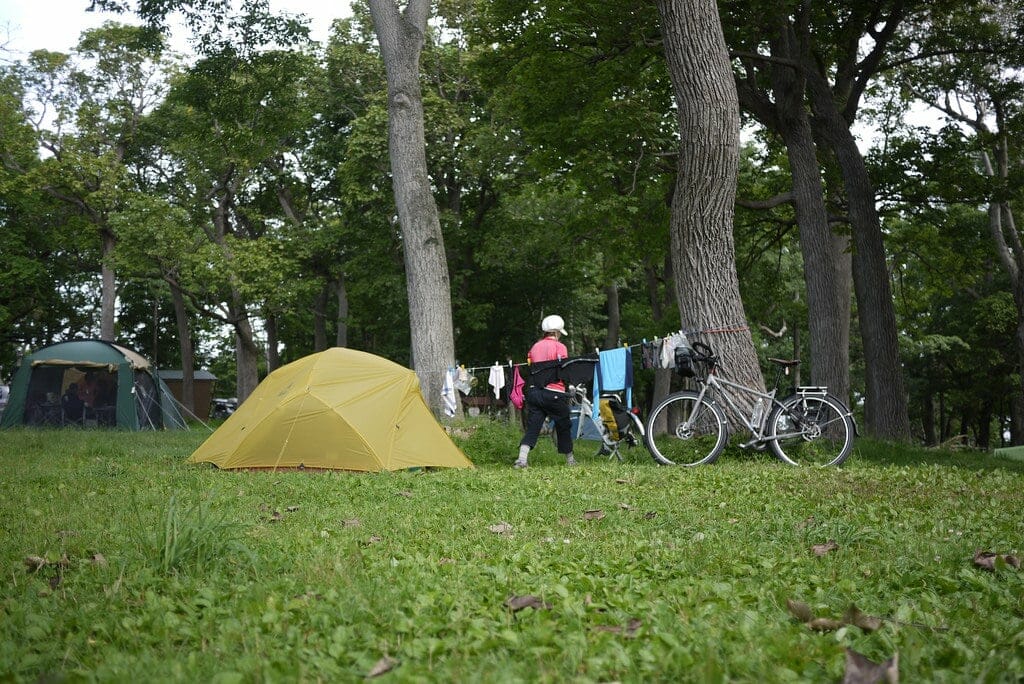
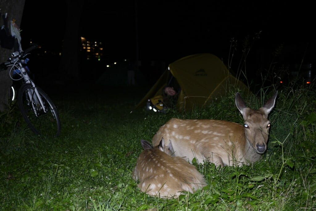
The rest of the coast towards Utoro is pure bliss on a nice day. And at the end of it is the fantastic Shiretoko Campground. Run by the Japanese government, this campground overlooks Utoro, and is frequented by wild but surprisingly tame deer. They’ll quite happily curl up next to your tent for the night. There are plenty of onsen options nearby, and if you arrive early enough, you’ll have time to drop your gear at the campground and do an unloaded 15km sprint to the Five Lakes area.
Blog post: Shiretoko Loop Tour Day 3: Shari to Utoro
Accommodation: Shiretoko National Campground (国設知床野営場) | 400 yen per person
Onsen: Utoroonsen Yuhidai Hot Spring (ウトロ温泉夕陽台の湯) | 500yen | 0.3km from accommodation
Distance: 30km | Ascent: 600m | Paved: 100% | ↓ GPX file
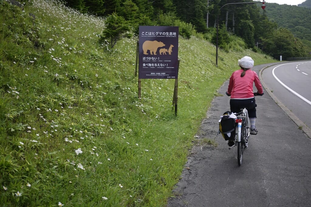
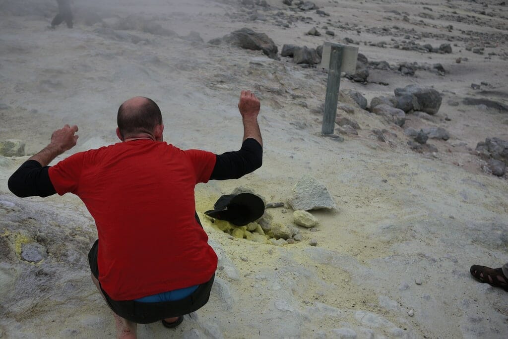
This beautiful 30km return trip is well worth the climbs involved. Along the way, you’re very likely to see wild Hokkaido deer alongside the road, as well as bushy-tailed foxes. The road is in perfect condition all the way to the Five Lakes information center, where short (<1hr) hiking trails can be accessed in exchange for 500yen (and a mandatory 10 minute bear safety lecture). As of August 2012, the gravel road beyond the information center is unfortunately often closed to individual traffic during the day. UPDATE (2018/10/18): I have heard reports that it is now possible to walk/cycle the gravel road beyond the information center – inquire at the information center for up to date information.
- Main attraction: Shiretoko Five Lakes hiking trails (info). Around 500yen to access the trails (500yen is the cost of the 10 minute, mandatory bear safety lecture).
Accommodation: Shiretoko National Campground (国設知床野営場) | 400 yen per person
Onsen: Shiretoko Yuuni-no-Ataru Ie (知床 夕陽のあたる家) | 1000yen | 0.2km from accommodation
Distance: 34km | Ascent: 800m | Paved: 100% | ↓ GPX file
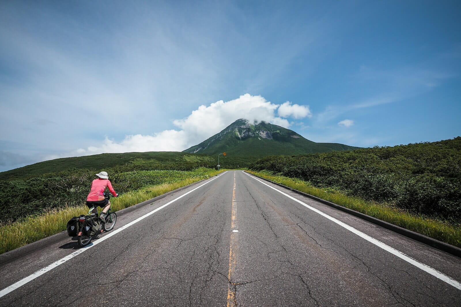
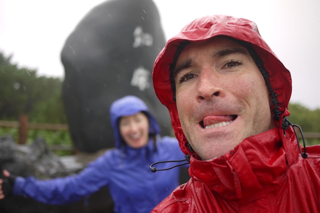
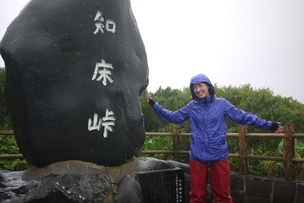
On a good day, this ride over the Shiretoko Pass is spectacular. From the top you can see Russia, and the majestic mountains all around stand crisp and clear. We’ve cycled it in both brilliant weather and also when we had driving rain in our faces the entire way up and down. Either way, the road cuts through wild native forest, and the free outdoor kuma-no-yu (bear’s hot spring – location) just before Rausu should not be missed. The Rausu Onsen Campground is just over the road from Kuma-no-yu and while we’ve never stayed there, I hear it can be a nice place to stay (albeit busy in the summer season).
Blog post: Shiretoko Loop Tour Day 5: Utoro to Rausu
Accommodation: Rausu Campground (知床国立公園羅臼温泉野営場) | 300 yen per person
Onsen: Kuma-no-Yu Onsen (羅臼温泉 熊の湯) | 0yen | 0.3km from accommodation
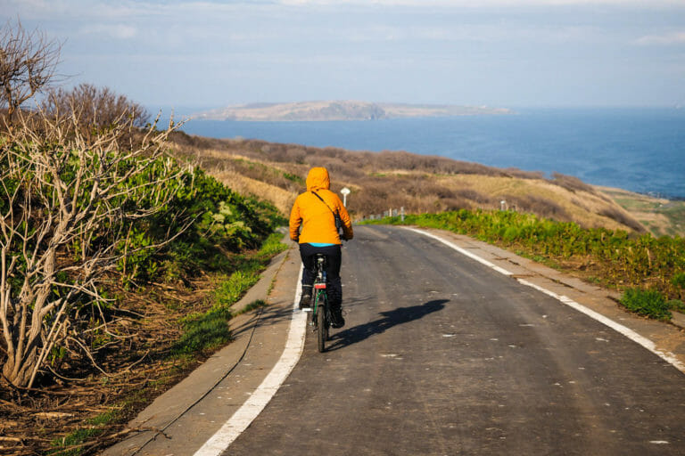
Distance: 60km | Ascent: 400m | Paved: 100% | ↓ GPX file
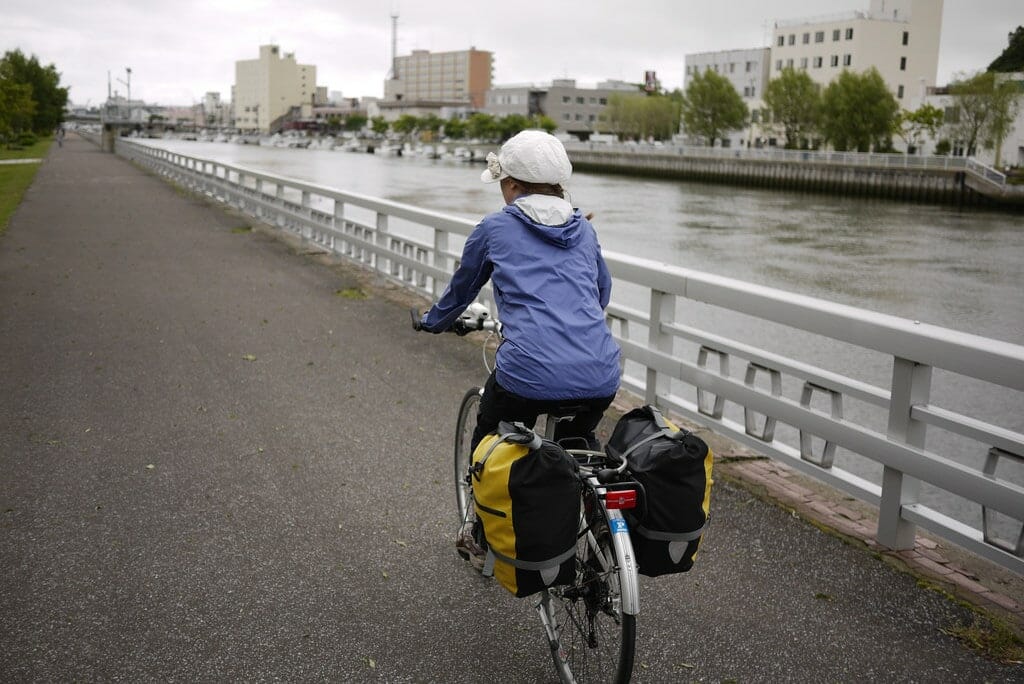
As fast as the preceding days thrust you into the heart of Hokkaido’s natural gem that is the Shiretoko National Park, today takes you out of the area along a coast heaving with small-scale fishing and kelp-harvesting. The route is flat, and there are longer distances between supplies. The Odaito Fureai Campground is highly recommended – coin laundry is available, and the onsen at the Odaito Seaside Hotel, just 10 minutes walk away, is great for tired muscles.
Blog post: Shiretoko Loop Tour Day 6: Rausu to Odaito
Accommodation: Odaitofureai Camping Ground (尾岱沼ふれあいキャンプ場) | 400 yen per tent
Onsen: Odaito Onsen (尾岱沼温泉) | 400yen | 1km from accommodation
Distance: 30km | Ascent: 100m | Paved: 100% | ↓ GPX file
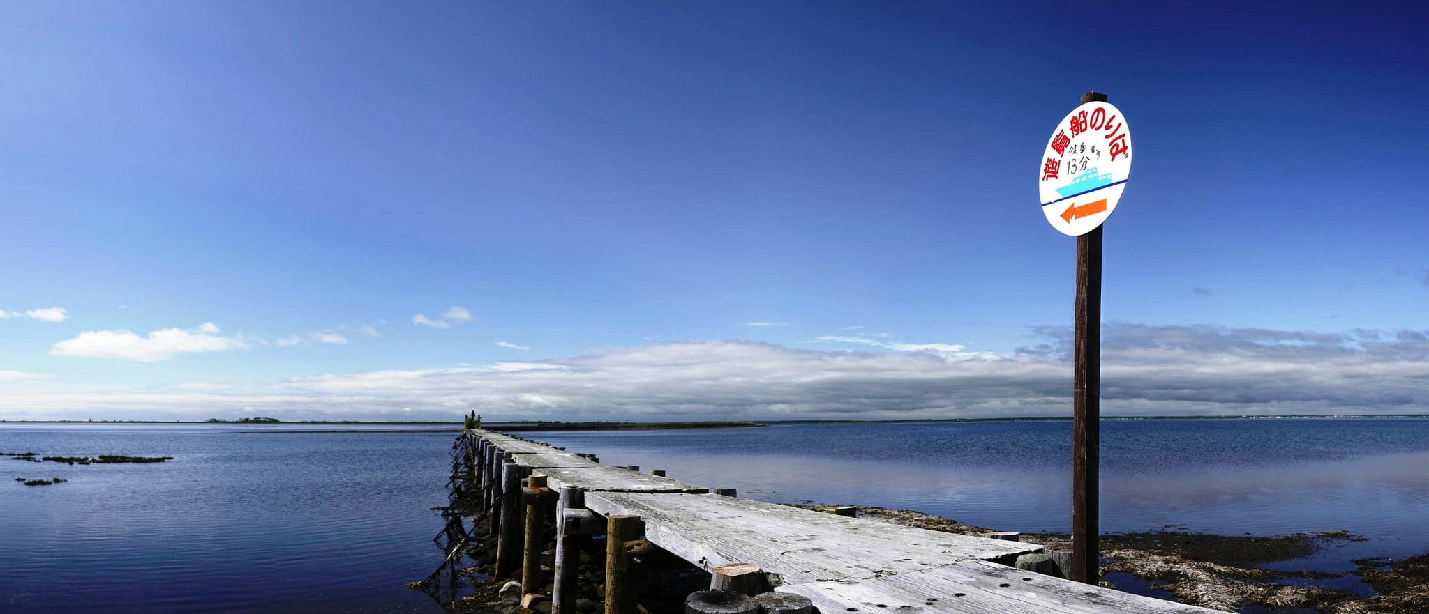
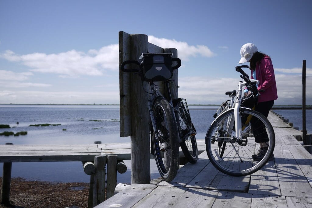
Notsuke Peninsula is best known for its dead pines sticking out of the marshes. While that doesn’t sound like much (and doesn’t bode well for when they rot and disappear all together), this thin spit of land jutting out of Hokkaido’s eastern coastline is teeming with wild sealife. You can see Russia from here too. If end-of-the-world, remote scenery sounds appealing, then the ferry ride and cycle back around the spit is worth the trip.
- Ferry information: Tourist ferries from the central Odaito Port leave irregularly during the summer months, so check with the campground staff or tourist info in town. Ferry takes 30 minutes and includes some pottering around looking for seals. Info in Japanese here. Ferry costs around 2,000yen per person, and you can take bikes on for free.
Accommodation: Odaitofureai Camping Ground (尾岱沼ふれあいキャンプ場) | 400 yen per tent
Onsen: Odaito Onsen (尾岱沼温泉) | 400yen | 1km from accommodation
Distance: 59km | Ascent: 380m | Paved: 100% | ↓ GPX file
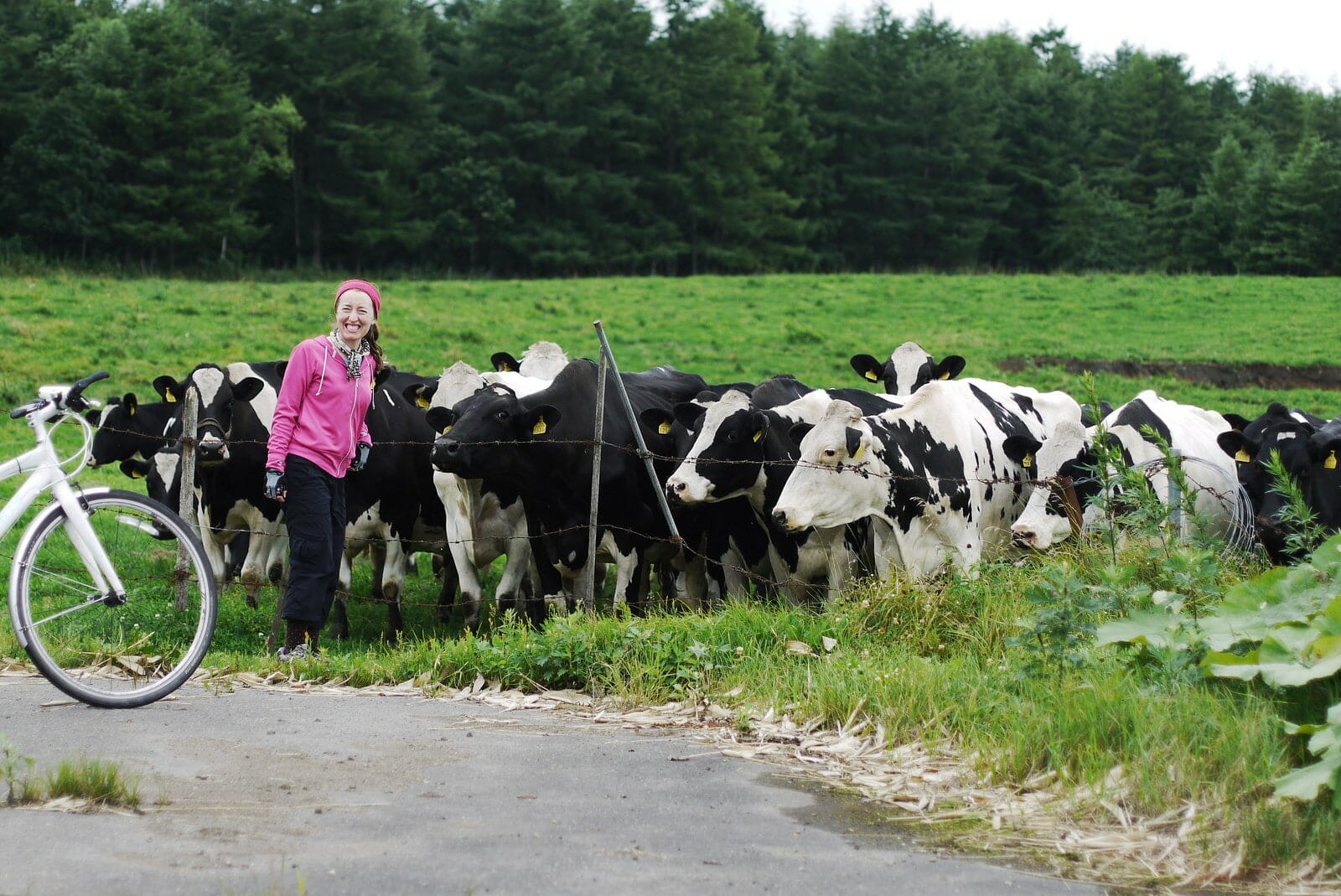
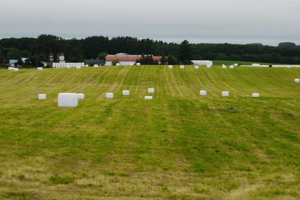
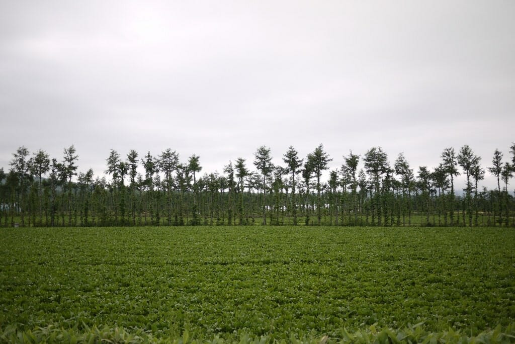
There are more direct routes from Odaito to Nijibetsu than the one linked to above. But it is worth taking the time to ride some of the secondary roads in this dairy-intensive area, to get a feel for the small-scale farming in this part of the country. Lush green grass, curious cows, and quiet roads. Watch out for appearances of the majestic red-crested cranes too; they seem to like to hang out in the fields.
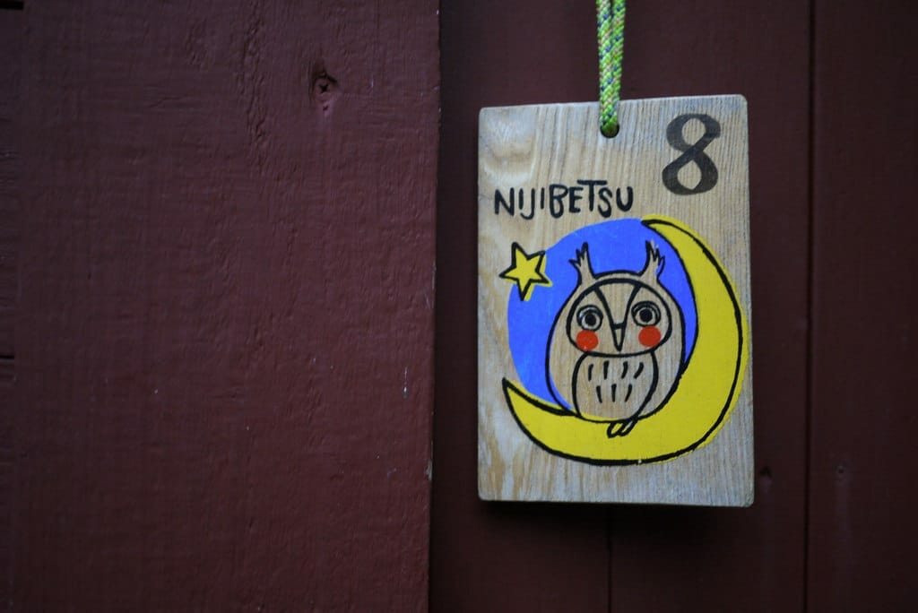
Accommodation: Nijibetsu Auto Campground (虹別オートキャンプ場) | 370 yen per tent
Onsen: Clover House Nishiharu Onsen (クローバーハウス西春別温泉) | 420yen | 10km from accommodation
Distance: 56km | Ascent: 800m | Paved: 100% | ↓ GPX file
To visit Lake Masshu or not to visit…that is the question. It is a stiff climb up to the rim of the caldera, and in all reality, it is only worth doing if the weather is perfect and clear. Which doesn’t happen all that often around Lake Masshu. If the weather looks iffy, then just head straight to Lake Kussharo from Teshikakga Town. With plenty of camping and hot spring options around Lake Kussharo, Lake Kussharo is a very worthy place to spend a night.
- Campgrounds near Lake Kussharo: There are a couple of campsites at Lake Kussharo, all within about 5km of each other. The Sunayu Campground on the eastern shores of the lake (400yen per person, location) is fun – you can camp in front of a hot-spring you dig yourself in the sand. At the southern end, on the Wakoto Peninsula, are two campsites (location), one is free. Don’t miss the free outdoor onsen here. There’s also a 1000-yen a night Riders’ House at the end of the lake (location).
Accommodation: Sunayu Campground (砂湯キャンプ場) | 500 yen per person
Onsen: Kotan Outdoor Bath (コタン温泉露天風呂) | 0yen | 7.2km from accommodation
Distance: 62km | Ascent: 740m | Paved: 100% | ↓ GPX file
There’s not much to say about this last day. The last-hurrah grunt up and over the pass out of Lake Kussharo is short but sharp, and beyond that it is a flat day onwards to Abashiri.
If you really want a wash in Abashiri before getting on the train back to Sapporo, try the cheap and cheerful Tokiwa-yu Sento in the middle of town (here).
Onsen: Tokiwa-yu Sento (ときわ湯) | 440yen


21 thoughts on “The Shiretoko Loop”
Marvelous experience!! Thank you for the inspiration and information 🙏🏻
My climb over Shiretoko Pass was memorable. It was raining and blowing so hard, and my glasses were so fogged 😂, I felt I was in a bit of trouble for a while. Stopping at the onsen on the downhill was recuperative.
The next day was sunny and beautiful!! I arrived at the lovely Odaito campground at 3pm, but conditions were so inviting I pushed on to Nakashibetsu, where the western side of Marayuma Park offers comfortable overnight camping possibilities (the nearby restroom has a wash basin).
Two notes on the final day:
1) The indicated gravel route alongside Lake Kussharo is currently (as of September 2023) washed out, impassable as you enter it from its southern terminus. If you’re leaving from the east side of Lake Kussharo, you’ll want to route through Kawayu.
2) The climb out is “sharp but short?” 🤣🤣 That climb is every bit as challenging as Shiretoko Pass.
Thanks again🙏🏻🙏🏻 I’m so glad I did this route!!
Excellent! Thank you for the detailed update!
How safe do you think it would be to bike up to Kamuiwakka Falls? Also general question, but how safe do ya’ll feel leaving your bikes with all your backpacking baggage outside while you eat at restaurants/go shopping?
Hey Rob, thanks for putting this together. Just planning a route around this but with some changes for late May. I am planning to head up the west coast from Shari, through Utoro, but then continuing up the west coast all the way to Kamuiwakka hot falls, or just as far as I can get up the coast before turning back and spending that night in Utoro. Was also considering doing something similar up the east coast, crossing the pass to Rausu and then biking northwards until I can’t any more before turning around and spending the night around Rausu. If you have any thoughts on this addition let me know!
Kamuiwakka for sure would be an excellent addition! We weren’t able to do it when we did the loop, because the road to Kamuiwakka was closed. For the past few years the road has been open though, so you should be OK. Also, on the Rausu side, cycling to Aidomari would be totally worth it! A really remote feeling, and super interesting local fishing and konbu (kelp) harvesting culture there. The icing on the cake is the Aidomari onsen!
Thanks for the reply! The road up to Kamuiwakka was still closed mid-May (couldnt read all the signs to figure out why) from the shiretoko goko national park entrance, but it was a nice ride north to the gate with very little traffic. Also, biking up the east coast from Rausu was very nice, despite the fierce winds! Thanks again for the resources!
Pingback: The Best 70 Things To Do in Hokkaido, Tried and Tested | Tokyo Weekender
Hi Rob —
I located this site via your Flickr gallery. I lived and worked on the Shiretoko Peninsula for about four years and it’s always a treat to see others’ impressions of a place I hold dear to my heart. I’m really glad to see that you enjoyed it, too. Thanks for the (new) memories!
Regards,
That Shiretoko Guy
Supremely jealous you got to enjoy Shiretoko from up close! So far from Sapporo, so always a treat to visit.
Huge thanks for the guide, Rob and Haidee.
We rode this in August 2019. Great to get your tips on avoiding busy roads, places to camp etc. I’ve made a few notes on your blog pages too.
Highlights: lots of short (30-50km), easy days. Good quality roads with polite drivers. Shiretoko Five Lakes. Hot springs at Lake Kussharo. Sea views. Convenience stores.
But: some days the scenery was bland. A few wet days. And our lack of Japanese language skills, and natural reserve, made conversing with people difficult. I felt more like a spectator than a participant.
Hi Rob,
I messaged you about this time last year about doing this trip with our then 2 year old son. We didnt end up doing it but are now booked to go over in August, thanks to all the information on your website! (Since having our son, we are less likely to wing it on cycle tours, bit more planning and safer roads required!). I have a few questions if that’s ok…
-last year we couldnt find a bike trailer to hire there, and bringing ours would have been a pain (part of the reason we didnt quite make it across), but now he’s bigger we may bring a more compact bike seat. My friend told me about the ‘mami chari’ there, not sure of your experience with these, but are there any for hire that you’ve seen? Are they the sorts of bikes that would be ok to use on a tour? However due to the costs of hiring bikes, we may end up just bringing our own gear anyway…. but your thoughts would be great anyhow…
-there’s a whole other level of luggage required if camping, which is our preference, but just in case, are rider houses as regular as campgrounds? Just working out the camping vs. non-camping options (just due to the gear carrying….)
-maps- i’m pretty old school with maps when riding and havent really dabbled too much in gps routes when riding….i will print your cue sheet as a guide but is there also an awesome detailed map i can print somewhere? I’m not sure the one ive seen on here is detailed enough… then again, maybe i should take the plunge into gps, ha ha!! I still like to have a hard copy in front of me…
-if we end up putting bikes together at airport and catching train to Sapporo, do you think cycling around Sapporo with child is do-able/ safe? Might check it out a bit before heading to Abashiri..
Thank you, still working on all our logistics of trip, your site is amazing and incredibly detailed, helpful when travelling with child 🙂
Bianca (Australia)
Hi Bianca, sorry for the delay in response.
Mamachari. These are are certainly not condusive to comfortable touring, and I don’t really know of anywhere that hires them out.
Rider houses shouldn’t really be relied on soley for accommodation. They can be few and far between, and some marked on the map may not be open.
For maps I recommended the Touring Mapple. It is all in Japanese though. https://www.japancycling.org/v2/info/map.shtml
Yes, Sapporo is great for cycling. Wide roads and generally forgiving traffic.
Hope this helps.
Oh wonderful! Thanks (sorry for my long essay questions…). Leaving next week 🙂 and will be camping and taking our trailer from home, which may be a pain on the train to Abashiri, we’ll just roll with it.
Many thanks for such as super informative blog and for your help…. Bianca
Hi Rob,
Sending you a BIG THANK YOU for your website, and this trip route in particular. My partner and I just completed a 9 day version of this loop and really loved it. Your website helped us decide where to go and made me feel confidently prepared for my first bike touring trip!
FYI We hired our bikes from Shiretoko Cycling Support (which we found via this page, another thing to thank you for) and we were really happy with the hire. Shigeo who runs the shop was so friendly and helpful, he even met us in Abashiri at both ends of the trip so we could do the full loop from Memanbetsu airport.
Thanks again for this detailed site! If you ever need a place to crash or a bike to borrow in Sydney we would be happy to help you out.
Jennifer and Neil
That’s so great to hear. Thank you for the one-the-ground information!
Thank you for all the lovely details. I will be heading here during the last week of August. Since it is high season, do you think it is necessary to try to book the campgrounds ahead of time somehow, or will I be able to find a spot somewhere if I just show up?
If you just show up, you will always be able to find a spot at campgrounds, even in the high season. You may be right next to someone else’s tent, but it is very unlikely that you’ll be turned away.
Looks fantastic, thanks for such a greatly documented website ! We will head to Shiretoko this coming August and do the loop. As we have 2 children (one child per carriage) and our camping stuff, the passes might be quite tough but we will try and do our best 😄
One question pls Rob, when arriving to Sapporo by plane from France, our bikes will be in packages (long flat cardboard boxes). Would that be accepted in the train to Abashiri, or do we have to look for specific bike bags? Would be definitely easier for us to keep them in the cardboard boxes… Any idea / advice ?
Great to hear you are heading over this way. Your bike boxes will be fine on the train. When you board the train to Abashiri in Sapporo, I recommend you try to find where the very front or very end of the train will be. Put your bikes there, because then they won’t get in the way of others, and also there tends to be some extra room at the end or front. You can then go and find your seat once you have the bikes secured at the front or back.
This is great,Rob! We are heading up to Shiretoko, early August to do some camping. I’ll be using your blog as a guide.
Thanks Aaron. You’re heading to Hokkaido’s jewel 🙂