Ichankoppe-yama spring ski touring and camping

イチャンコッペ山 | E-car-ke-ot-pe

Posted on Apr 1, 2018
70 0
S
Posted on Apr 1, 2018
70 0
S
8km

Distance

4 hours

Time

560m

Ascent

829m

Highest point

4/10
Difficulty
Snow Icon | Hokkaido Wilds
Jan-Mar

Best season

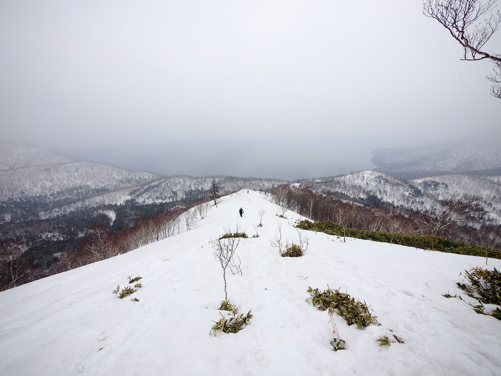
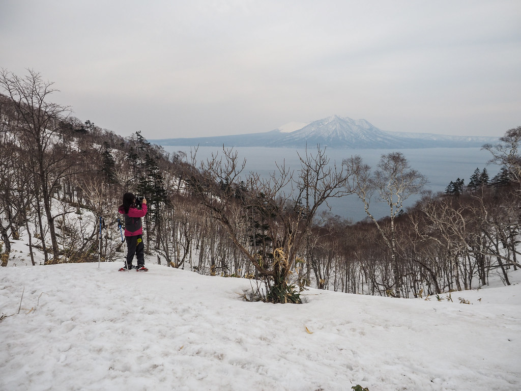
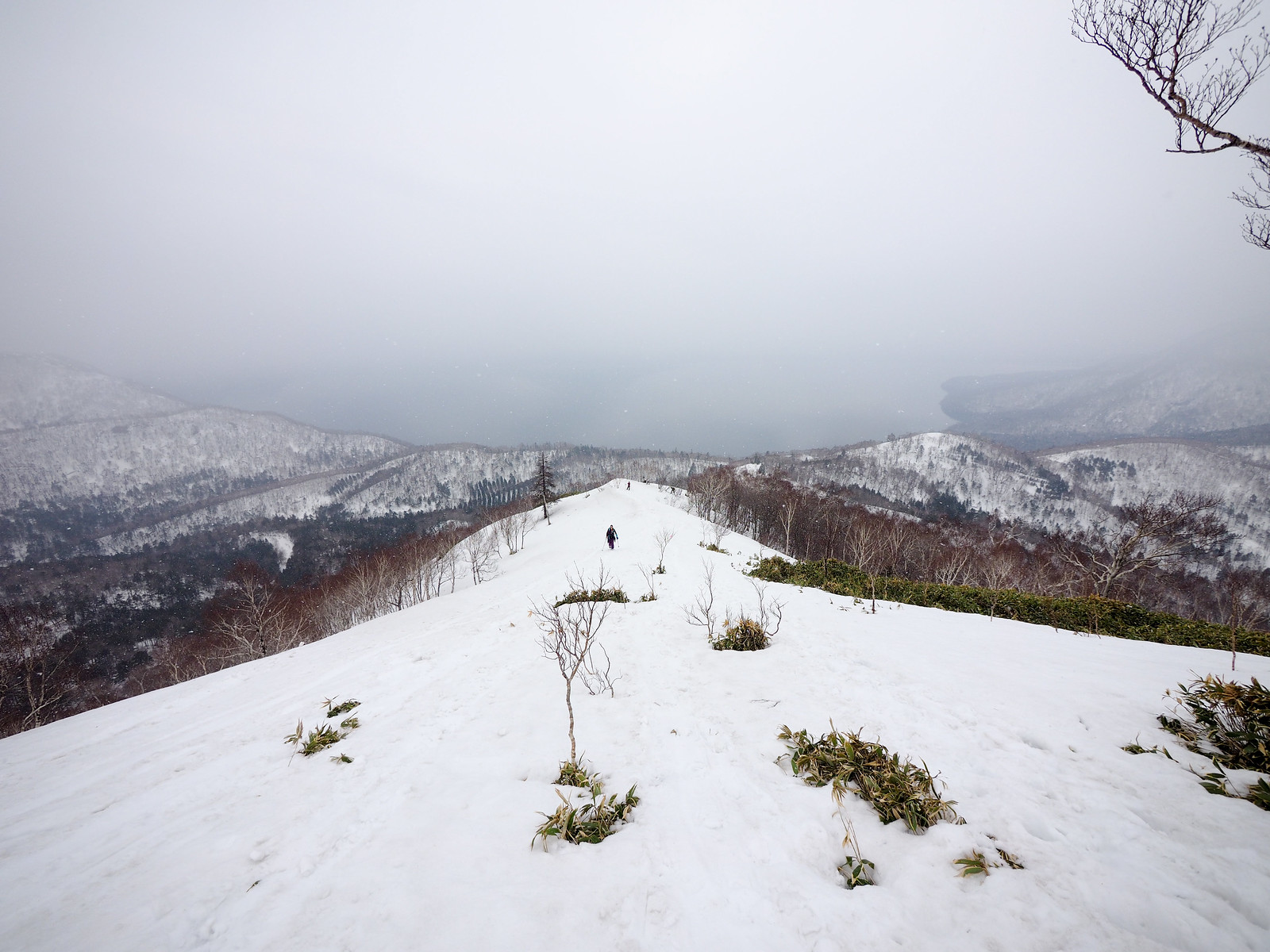
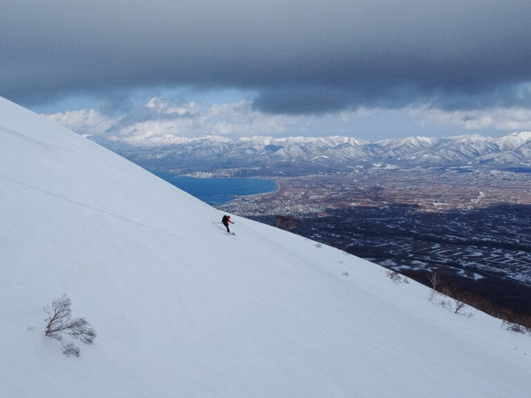
Mt. Ichankoppe (イチャンコッペ山, 828m), with its north-to-south ridge-line approach, has some of the best and most sustained views of Lake Shikotsu and surrounds of any hill on the lake's volcanic caldera rim. Ichankoppe means "salmon spawning ground river" in Ainu, and Mt. Ichankoppe takes its name from the Ichankoppe River nearby. In clear, still weather, the long ridge can be an incredible place for an overnight camp, with glorious views across the lake. It's hard to believe it's only 30km from Sapporo City.

Last updated Apr 2, 2021

Route Map

Photo Gallery

Need to know details

Location

This route starts at from the Lake Shikotsu lookout carpark (here), on the descent towards Lake Shikotsu (if approaching from Sapporo City). It is on the north side of Lake Shikotsu.

General notes

Popular with snowshoe hikers, this route can also be enjoyed on skis if you’re willing to put up with some minor ups and downs along the way. The ridge from around 620m onwards offers a couple of clear, flat areas that beg to be camped on, with gorgeous views across Lake Shikotsu towards Mt. Tarumae (樽前山) and Mt. Fuppushi (風不死岳) (although, note camping details below).

  • Camping on Mt. Ichankoppe: Mt. Ichankoppe is within the Banjiri National Forest (盤尻国有林), in Eniwa City (not the Shikotsu-Toya National Park). The official contact point for matters concerning this National Forest is the Ishikari District Forest Office (石狩森林管理署, TEL: 011-563-6111). When I called the district forestry office for their policy on wild camping during winter on Mt. Ichankoppe (there are no official campsites there), they said they did not have any particular objections other than climbers do it at their own risk, and please be careful if using open fires. Always practice leave-no-trace principles when camping in the wild.
Hut
None
Route details

The route mainly follows the summer trail, which is sporadically marked with ribbon tied to trees.

Route Timing
Up | 2.5hrs
Down | 1hrs

Transport

Public transport:

There is no public transport to the trailhead (location).

By car:

There is ample parking at the Lake Shikotsu viewing platform road-side stop (location).

Physical maps
Official Topo Map: Eniwa-dake (恵庭岳) – map no. NK-54-14-12-3

NOTE: The official 1/25000 topo map(s) above can be purchased for 350yen from Kinokuniya bookstore next to Sapporo Station or online (in Japanese).

Aspect
The main aspect skiers are exposed to on the descent and/or ascent is South. Therefore, keep an eye on the weather forecast a few days ahead of your trip to monitor wind, snow, and temperature. Also, since this route is in the general vicinity of the Shiribeshi area, consider looking at the Japan Avalanche Network avalanche bulletins (updated Tuesdays, Thursdays, Saturdays at 8am) or the daily Niseko Avalanche Information website. These may give extra insight into avalanche conditions in the greater area around the route.

Snow and
route safety

Despite the relatively low altitude, the ridge from 785m to the summit is exposed the elements, and will bear the brunt of any high winds.

  • Police notification: Fill your police notification out online using Compass – instructions here

Ichankoppe-yama spring ski touring and camping Difficulty Rating

Category

Grade

Points

Strenuousness

Vertical Gain

C

30

Time ascending

C

3

Technicality

Altitude

C

3

Hazards

D

0

Navigation

C

6

Totals

42/100

GRADES range from A (very difficult) to D (easy).  More details here. Rating rubric adapted from Hokkaido Yukiyama Guidebook 北海道雪山ガイド.

Weather forecast

Windy.com weather forecast for Ichankoppe
Onsen nearby

You’ll be 4km from Marukoma Onsen (丸駒温泉, 1,000yen per person, location), which has an amazing lake-side open-air bath that changes in depth according to the current water level in Lake Shikotsu.

Extra Resources
No extra English resources that we know of. If you know of any, please let us know in the comments.

Guide Options

If you’s like to ski this route and/or explore other hills south of Sapporo together with a local certified guide, get in touch with either Wataru Nara or Yasuko Kikuchi. They’re both Hokkaido born-and-bred Sapporo-based JMGA-certified guides. They both cut their teeth on peaks including those around Sapporoa and have taken part in major international expeditions. In addition, see a full list of English-speaking Hokkaido Mountain Guides Association (HMGA) guides on the HMGA website here

Support us

Like this content? Buy the HokkaidoWilds.org team a coffee. 50% of tips go to the Hokkaido Wilds Foundation.

Show Full Route Notes Close Route Notes

Route Trip Notes

I’d been obsessed with Ichankoppe’s lake-facing ridge for at least a couple of years. It looked like the perfect place for a winter camp, allowing hopelessly massive views of Lake Shikotsu from one’s tent door. Weather over mid-winter never seemed to cooperate, but at last in early spring, I found a weekend with a decent forecast. Some keen companions and I dragged ourselves – and two Swedish Torches – up for a night on the hill.

Mt. Ichankoppe ski touring and winter camping (Hokkaido, Japan)

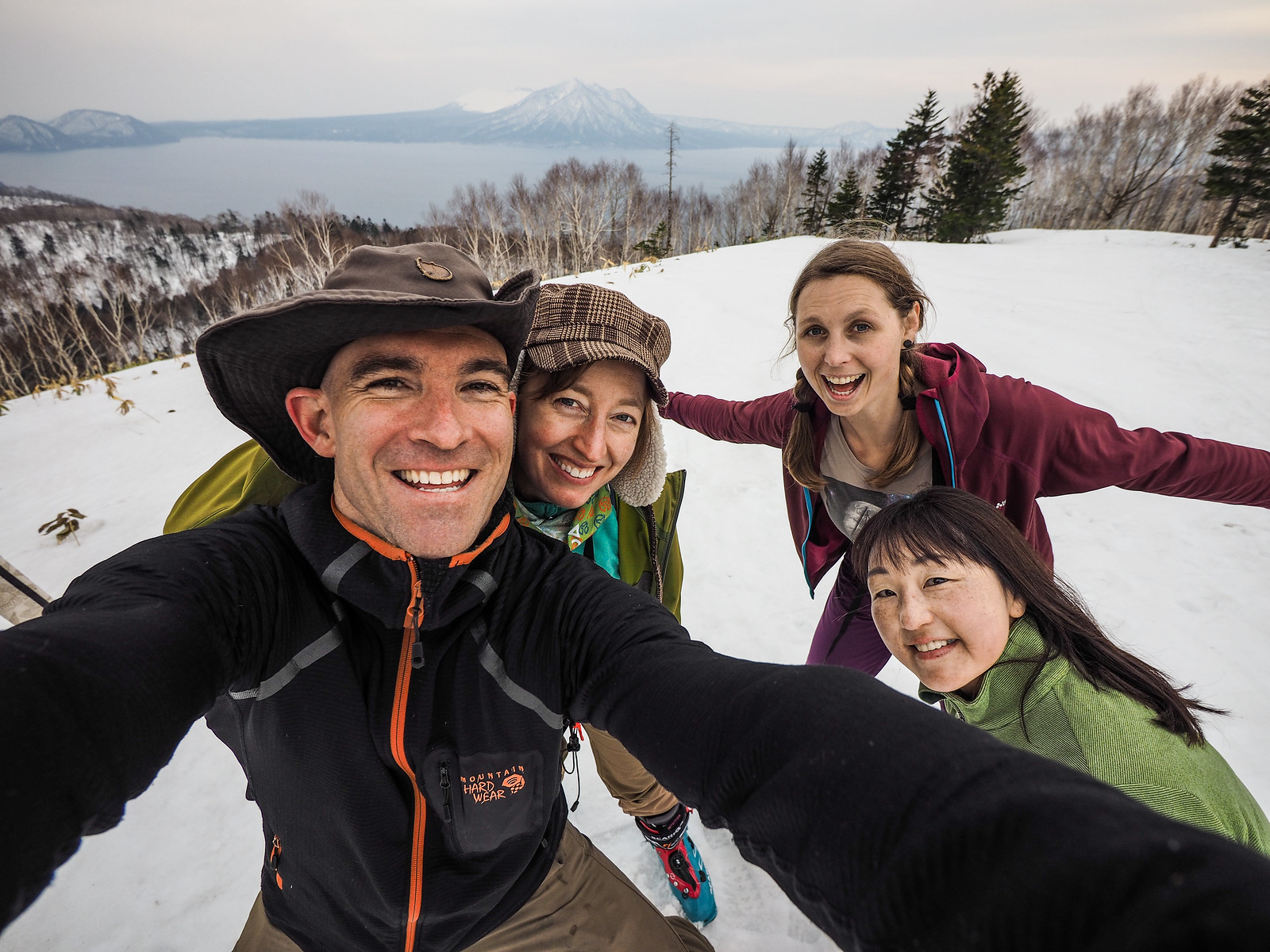
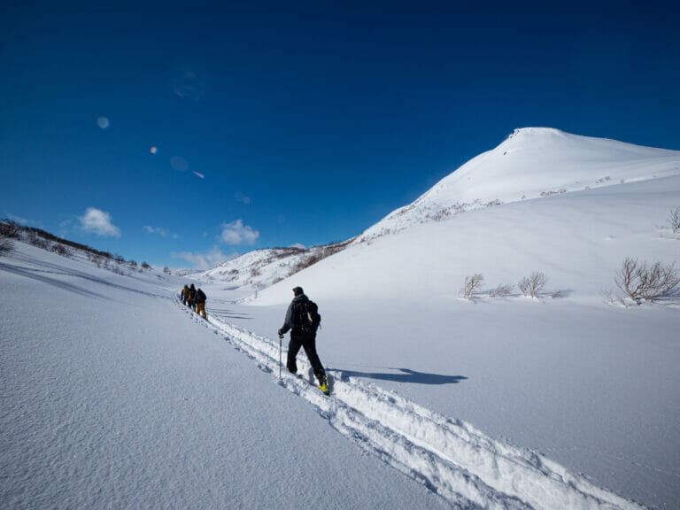
I’d never been up to Mt. Ichankoppe in winter before, but the approach looked straight forward enough. So we made it a leisurely start from the trailhead, finally getting away from the lookout carpark by about 11am. Our group consisted of two skiers and two on snowshoes.

It felt like proper spring weather, and we were all in single layers.

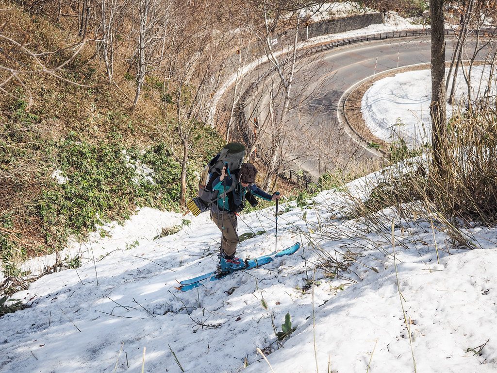
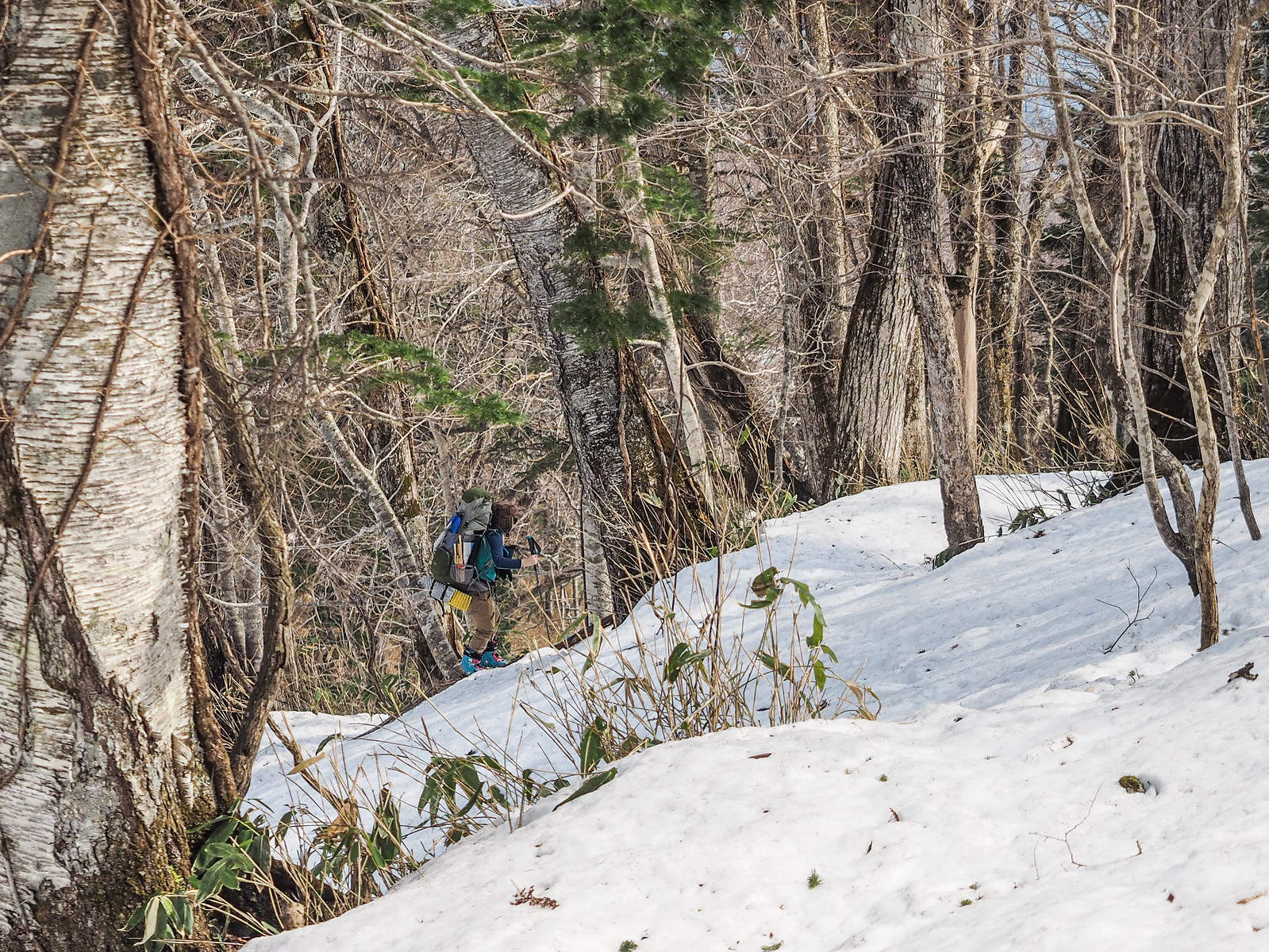
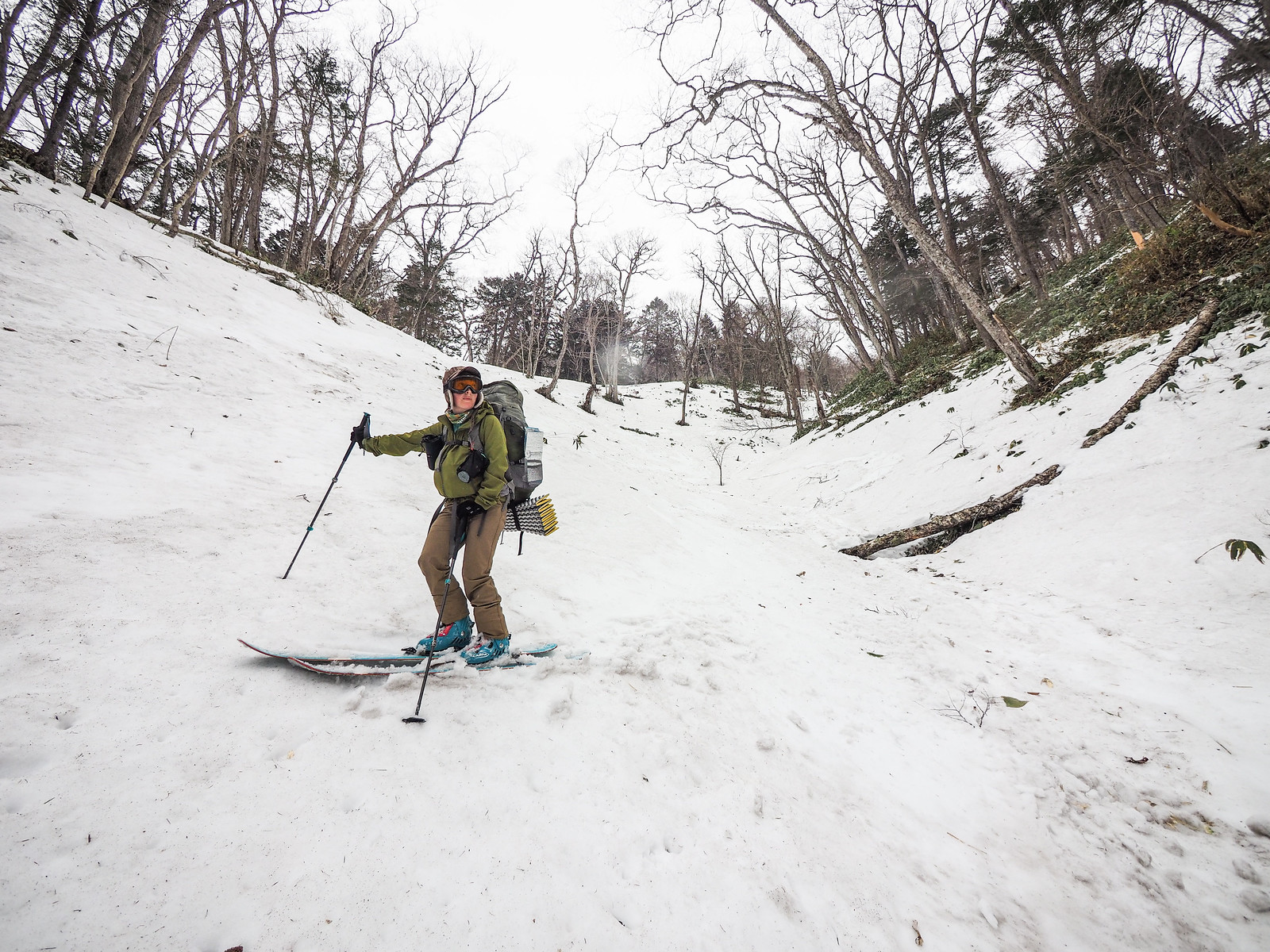
The lack of snow right at the trailhead was a concern for us skiers. This meant that the gorge to the west of the summer trailhead looked much more inviting, so the group split up. The snowshoers up the summer trail, and us on skis up the gorge (marked on the map above as the return down-track.

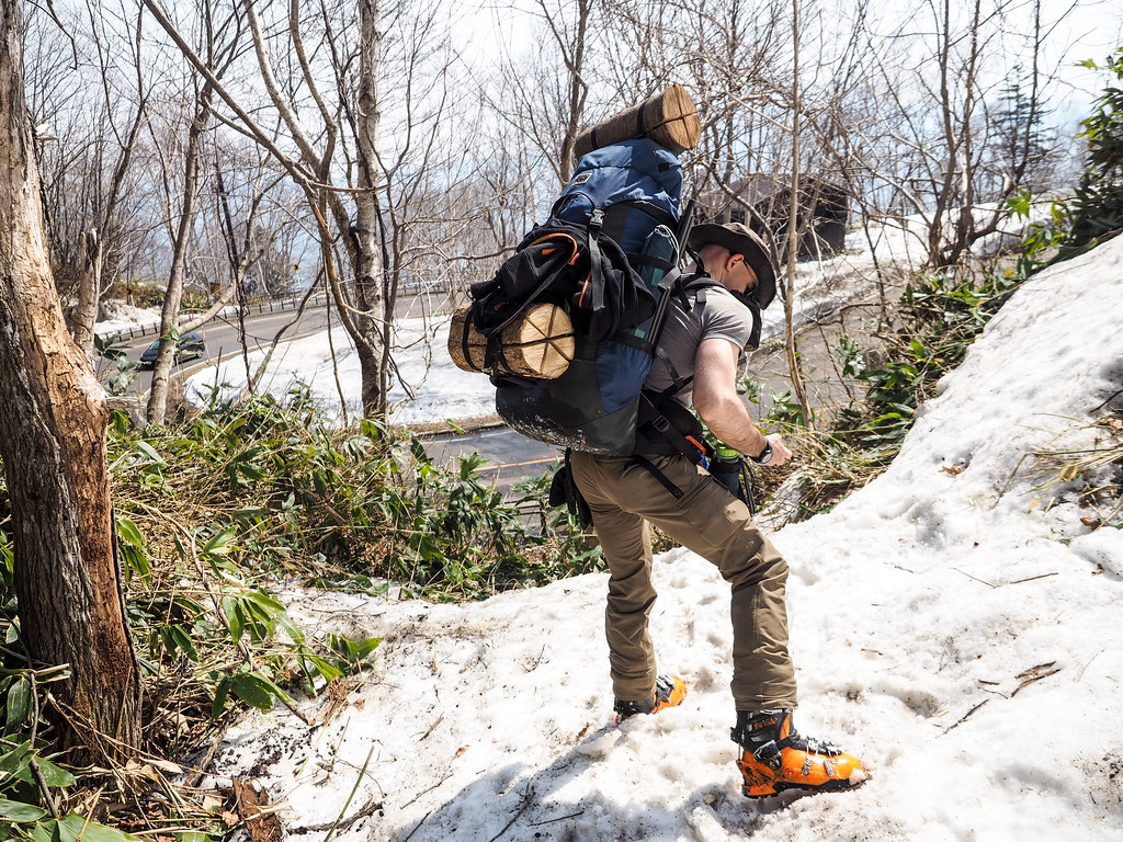
I had decided that a nice contained campfire would be nice, and considering it would only be about 1 hour to our campsite, I had strapped two 5kg Swedish torches to my pack. I don’t think I’ve carried a pack as heavy as that before. Leg day every day.

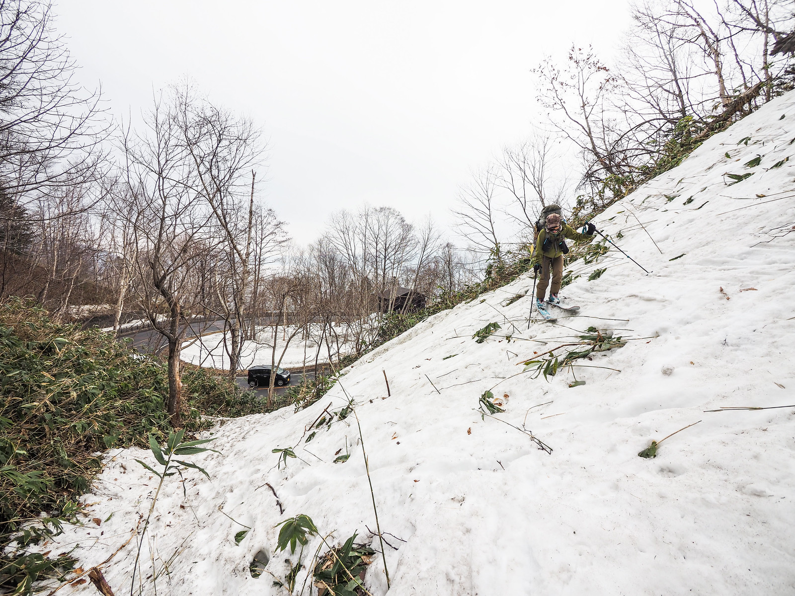
Besides the lack of snow, the beginning of the trip was also punctuated by another unexpected turn – I slipped while trying to clamber up the roadside to the gorge, and got a relatively deep cut to my little finger. Had it not been for a well-stocked first-aid kit, the trip would have been over before it had started.

With that excitement contained, we were on our way.

Mt. Ichankoppe ski touring and winter camping (Hokkaido, Japan)

Mt. Ichankoppe ski touring and winter camping (Hokkaido, Japan)

The spring snow on the climber’s left of the gully was dense and slippy on the surface. This made the going slow for Haidee who’d just arrived back to Hokkaido the week before after spending a month in New Zealand – her legs had hardly had a chance to acclimatize back to ski touring before being thrown in the deep end.

We made slow but steady progress, however, and only made Saoka and Gerry (the two on snowshoes) wait in the cold at the ridge for 30 minutes (sorry guys!).

Mt. Ichankoppe ski touring and winter camping (Hokkaido, Japan)

By the time we did arrive at the long ridge connecting Mt. Horohira and Mt. Ichankoppe, some high clouds had formed. Visibility was still excellent though, allowing grand views across the lake to Mt. Tarumae and Mt. Fuppushi.

By this time we’d taken about 2 hours just to get to this point, and the day was getting on. We pushed on.

Mt. Ichankoppe ski touring and winter camping (Hokkaido, Japan)

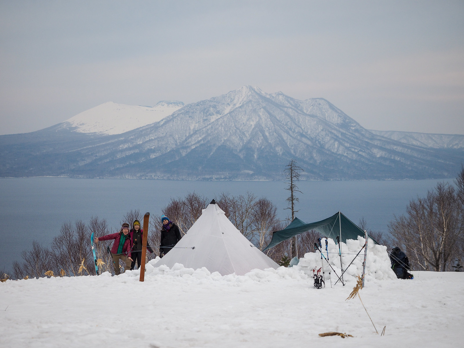
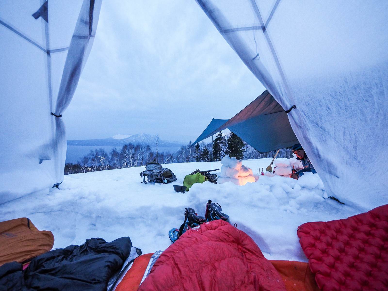
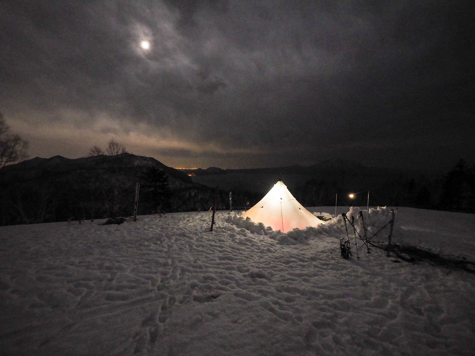
Looking at the topographical map (PDF here), I had my sights on a spot somewhere around 785m (here) for a campspot. When Saoka had hiked Mt. Ichankoppe in the summer, she had also thought that would be a nice spot to camp. When we arrived at the clearing at around 620m, however, I recommended we stop and camp there. The time was getting on, and the clearing was nicely sheltered from a brisk northwesterly that was blowing. Best of all, the outlook was amazing.

Mt. Ichankoppe ski touring and winter camping (Hokkaido, Japan)

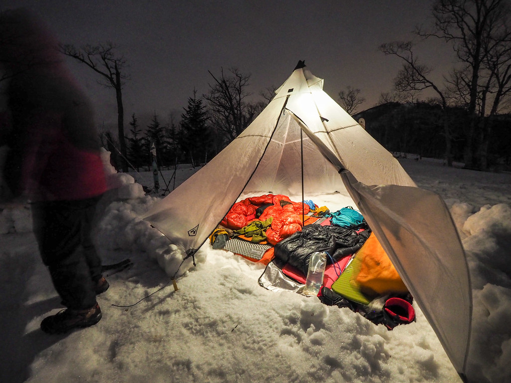
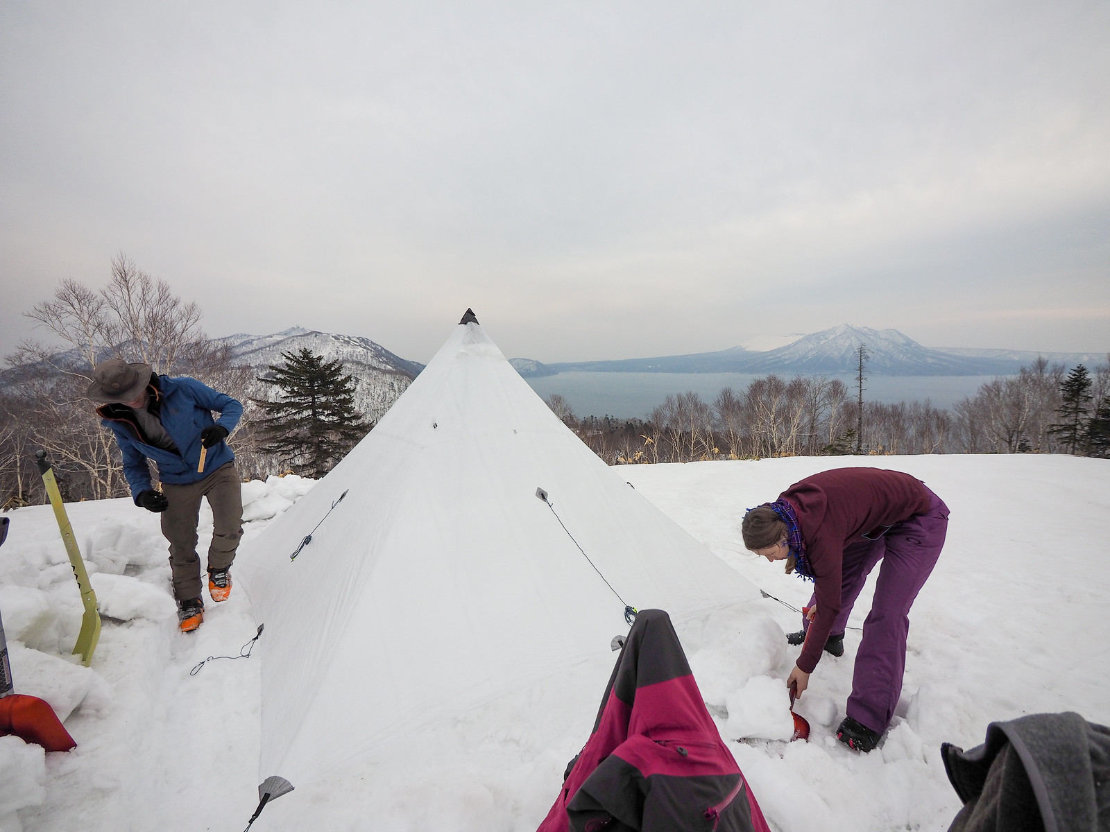
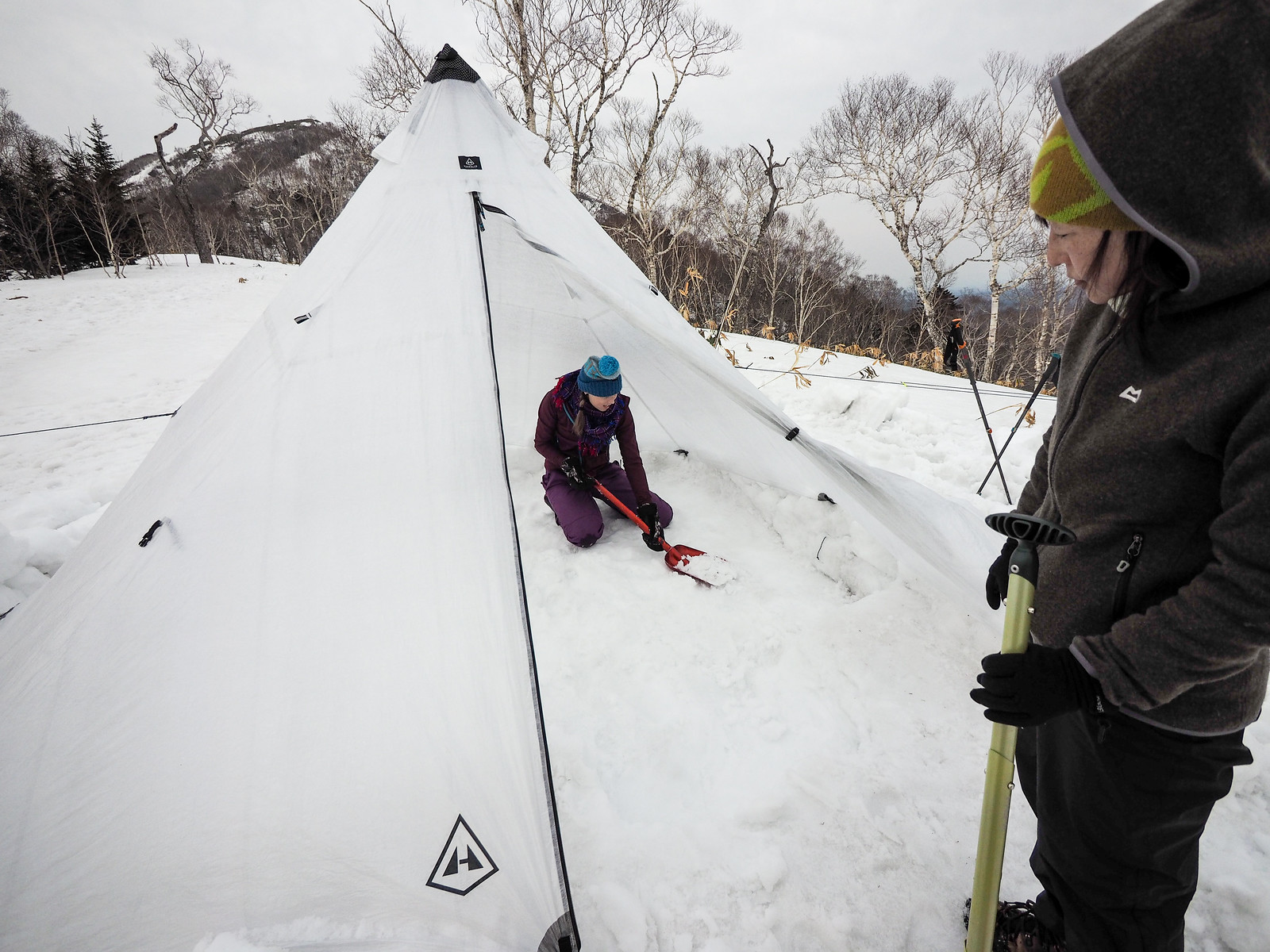
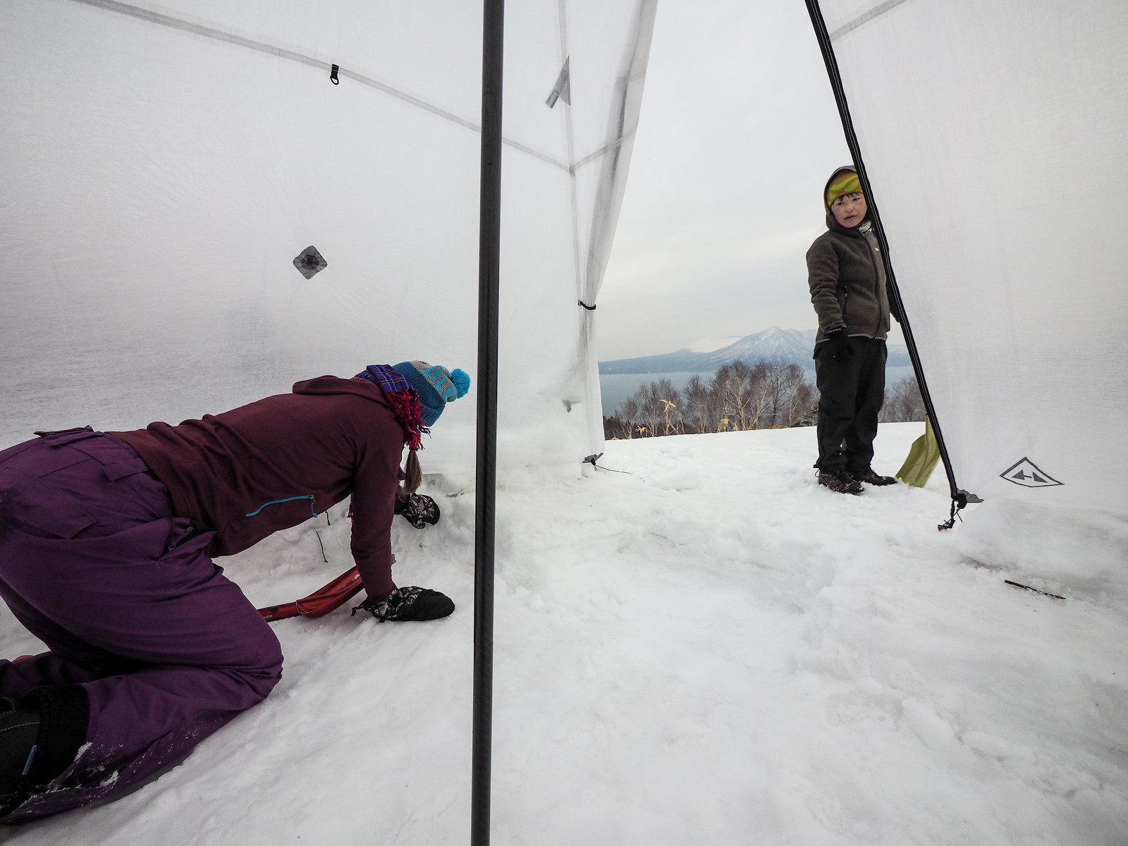
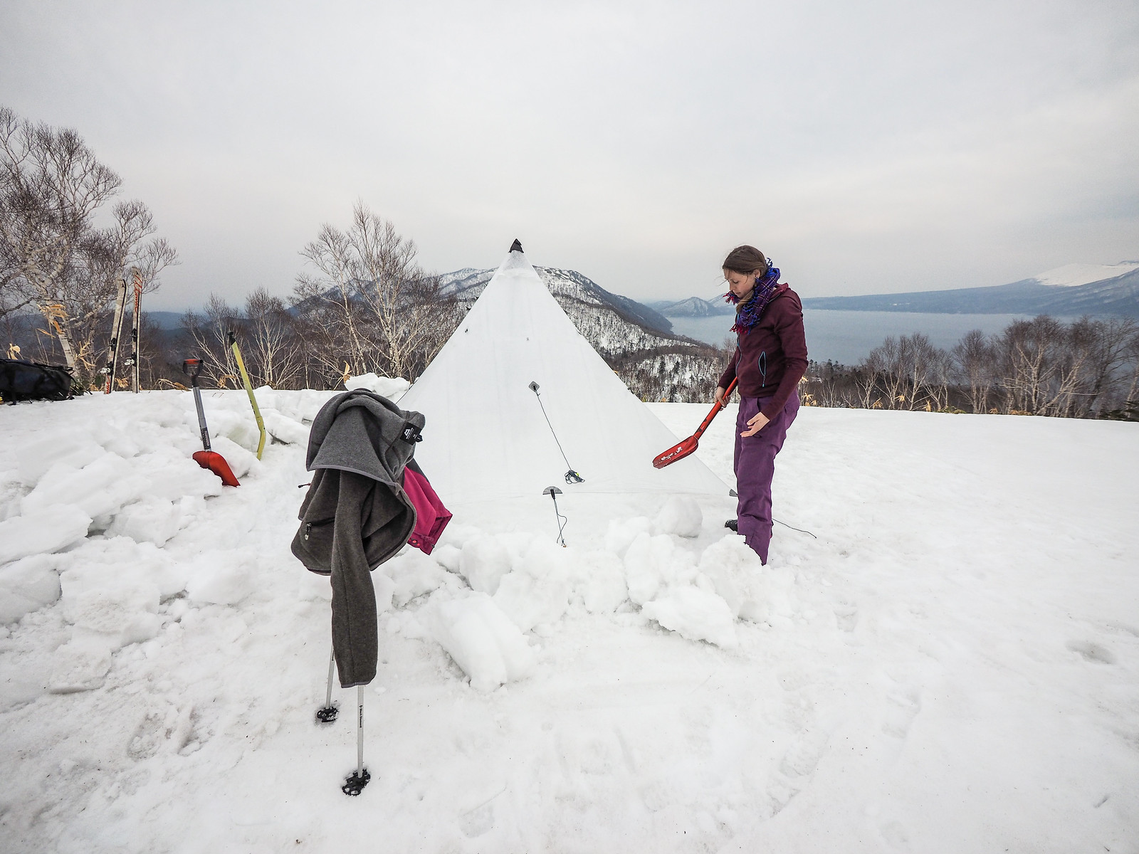
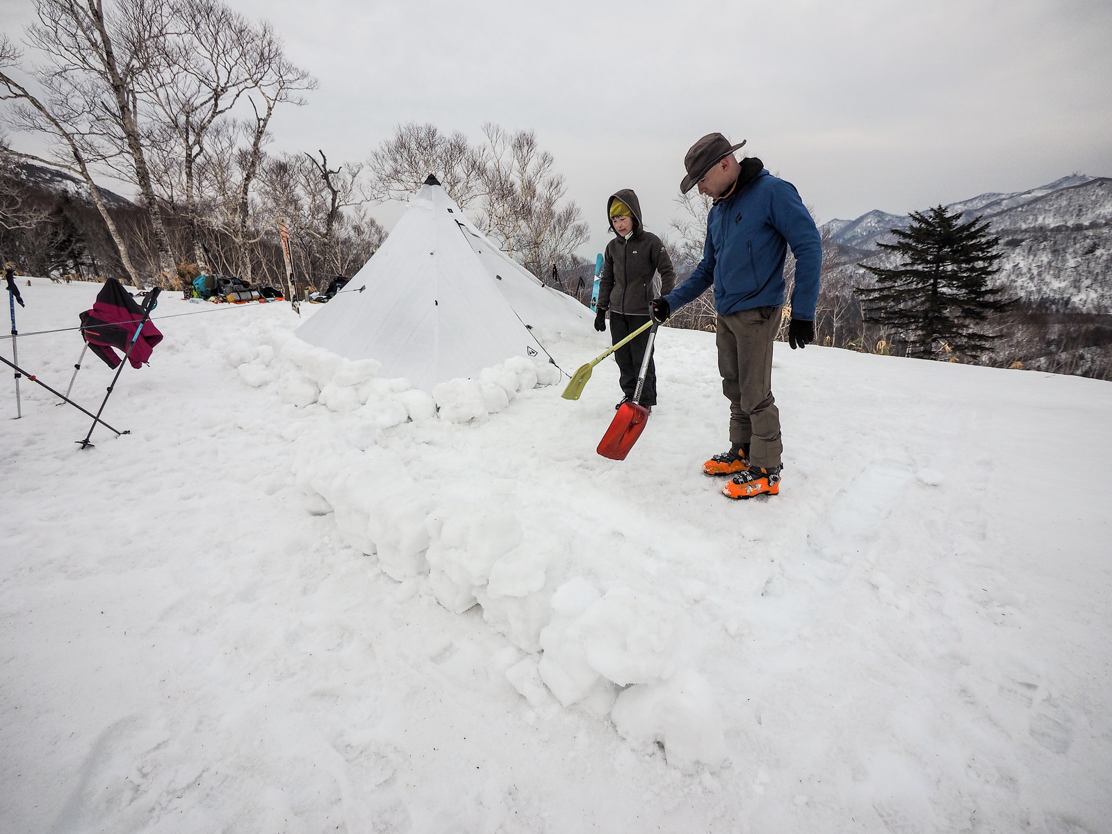
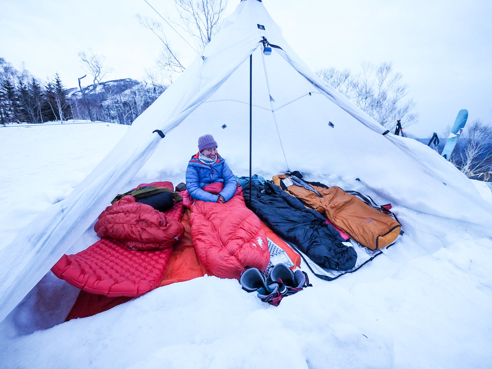
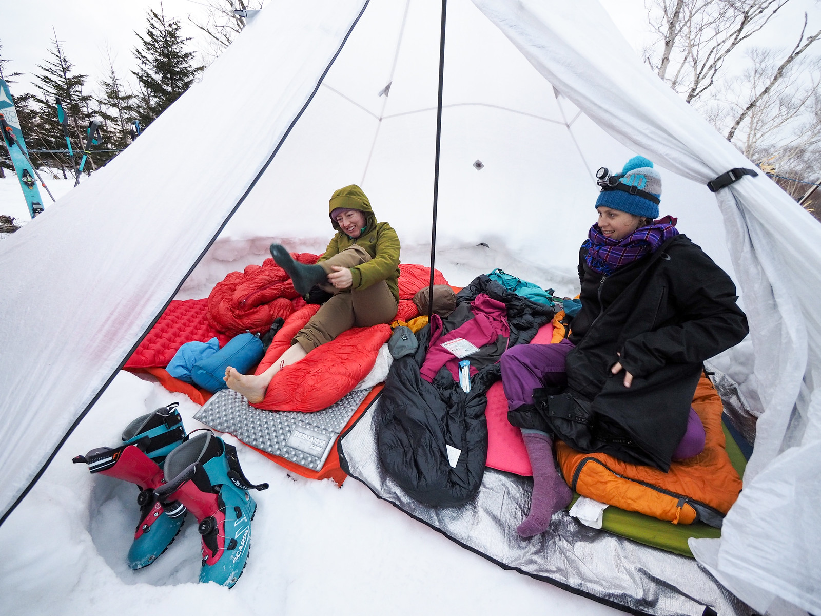
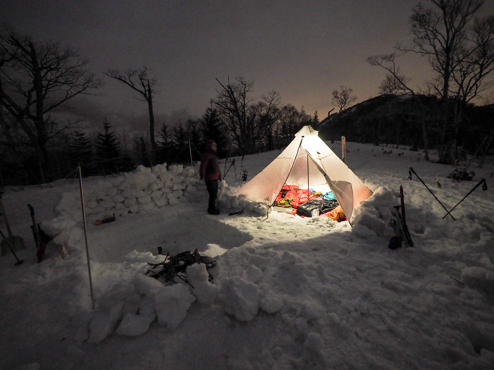
After some snacks and warm drinks from our thermoses, we got into setting up the tent and an outdoor living area. First up was the 4-person pyramid tent (the Hyperlite Ultamid 4). I pitched it higher than normal this time, and we used snow blocks to create a 20cm high wall around the base to give a little more room on the inside.

Gerry and Saoka had not realised they’d be sleeping in a tent with no floor.

Mt. Ichankoppe ski touring and winter camping (Hokkaido, Japan)

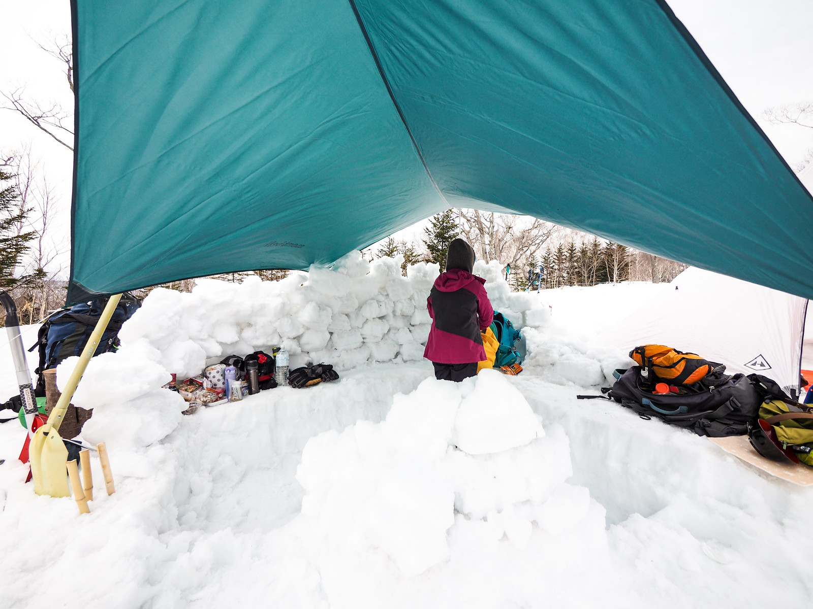
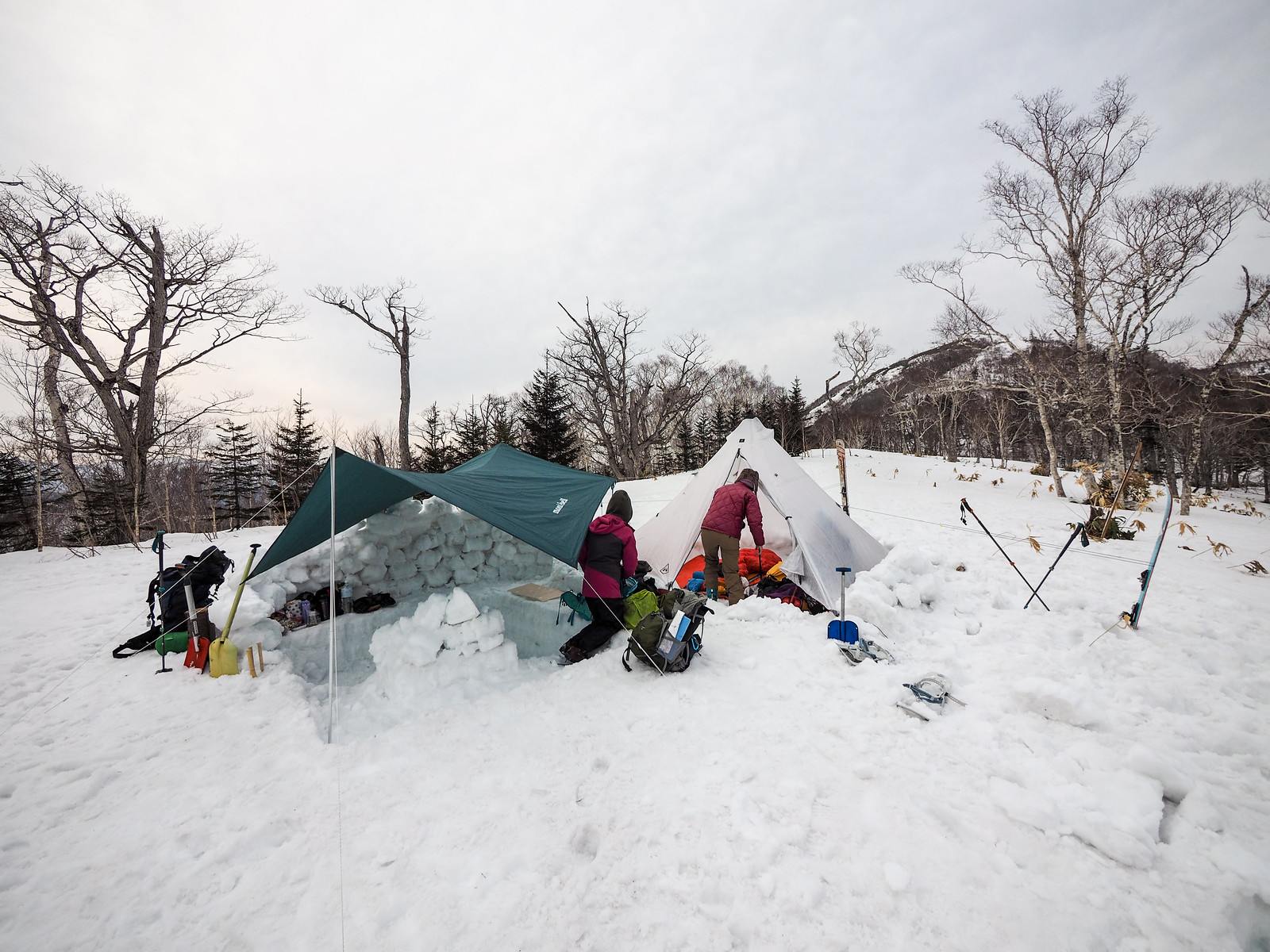
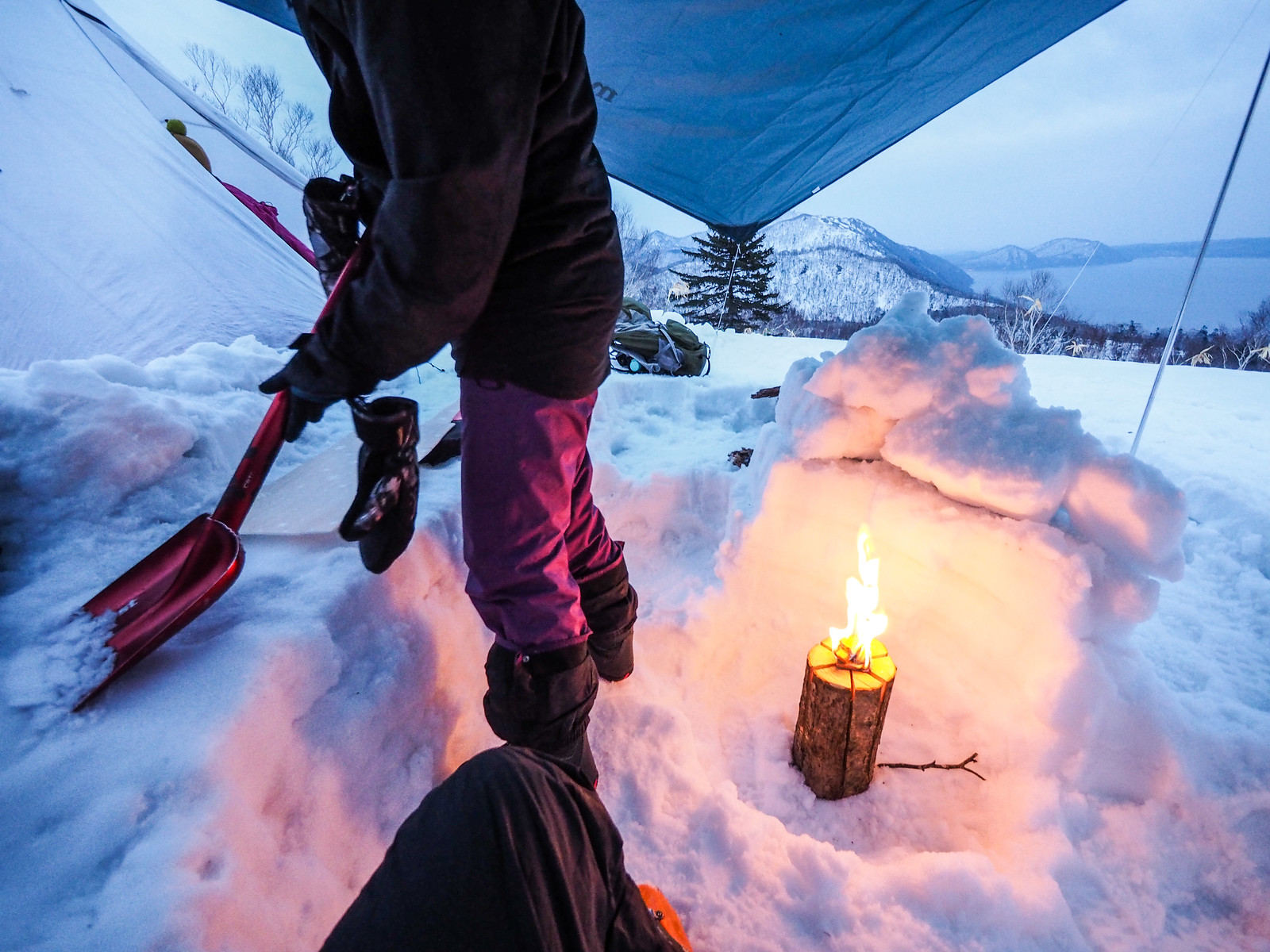
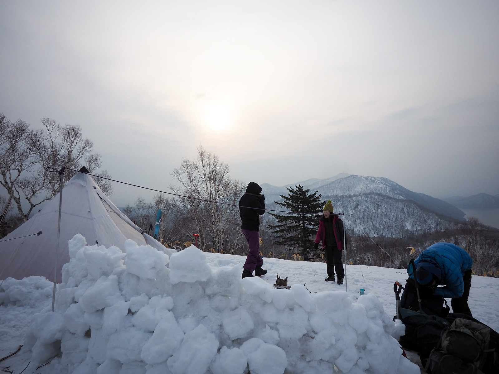
Next was the outdoor living area construction. A wall to block the northwester breeze, and a heat-reflector wall for the Swedish torch. With a weather forecast of light snow, maybe rain, the next morning, I had also brought our Montbell Minitarp HX.

Mt. Ichankoppe ski touring and winter camping (Hokkaido, Japan)

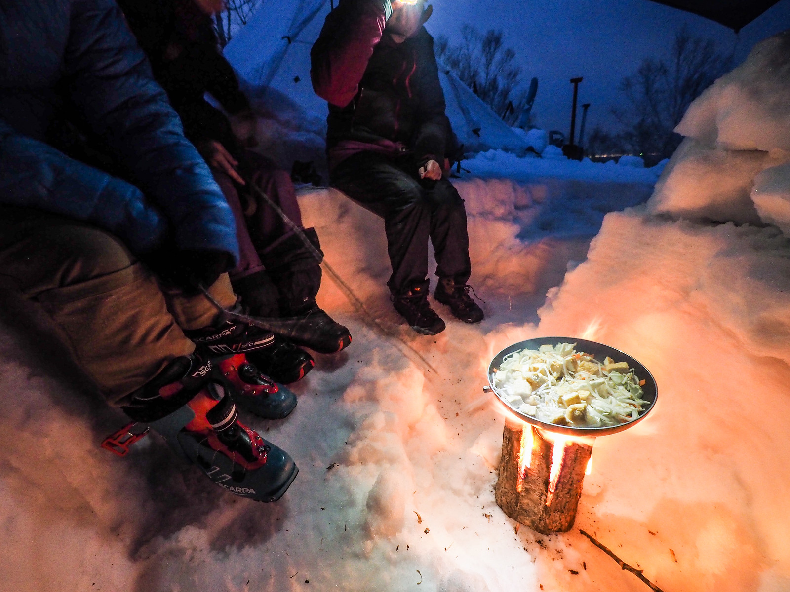
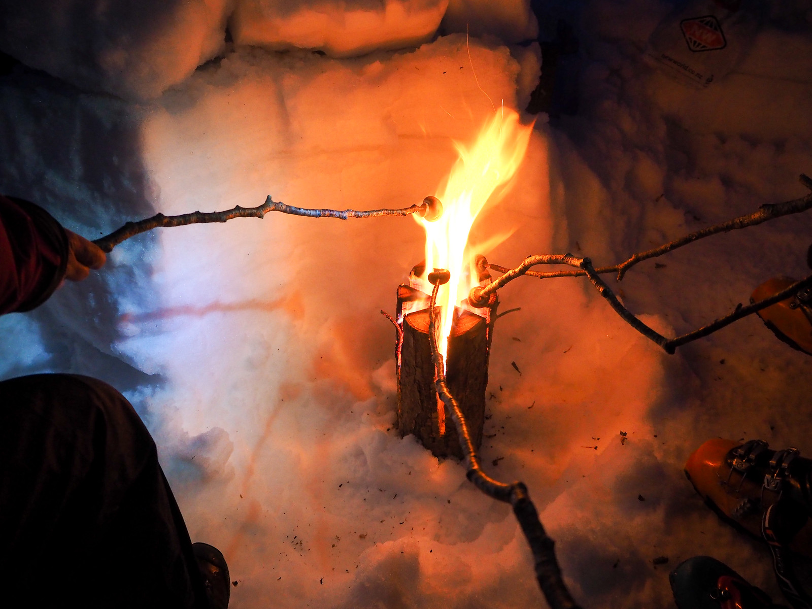
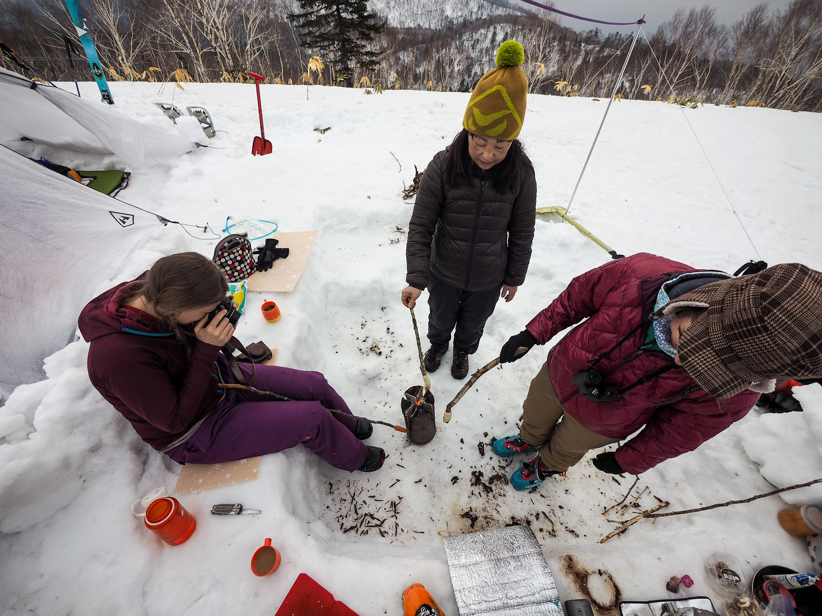
It was now just before 6pm, and time for some dinner. I had bought the Swedish torches from the Shugakuso Outdoor store in Sapporo City (the Shiroishi Store) for 1,500yen a piece. I like Swedish torches for snow camping, because they 1) allow for easy cleanup (in keeping with the leave-no-trace principles) and 2) the fire doesn’t sink so much down into the snow (as is the case with a normal campfire lit on the snow surface). With our large wall blocking the wind from the northwest they burned well enough (not quite as well as the big one from Ashoro Town last week), but we struggled with wind eddies that meant that our little outdoor area essentially filled with smoke.

Our alfresco dining experience was a decidedly smokey one.

Mt. Ichankoppe ski touring and winter camping (Hokkaido, Japan)
Swedish fire torch in Hokkaido, Japan

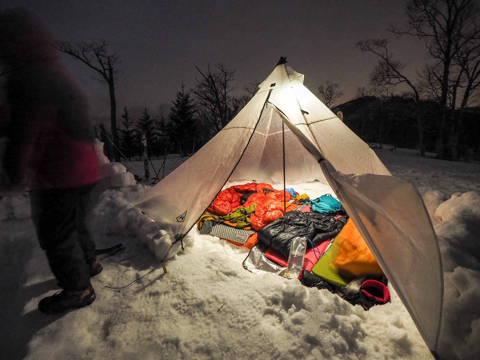
That night was the first time we’d had four people in the new four-person pyramid tent. With the height raised, it was a palace for four people. So often when a tent is advertised as large enough for X-number of people, it’ll fit that number if you’re all jammed in like sardines. And forget it if you want to put packs and other gear in the tent with you. This tent, however, as we had it set up in the snow, would have fit six people jammed in like sardines. With the four of us in there, we could have easily fit in our packs also.

On this occasion, however, other hikers had told us they’d seen fresh bear prints in the snow further up the ridge, so we kept our packs outside under a tree about 5om away.

Mt. Ichankoppe ski touring and winter camping (Hokkaido, Japan)

I slept like a log that night, with the others reporting various degrees of wake-sleep-wake cycles. It certainly wasn’t a cold night – all the water in our water bottles was still liquid in the morning.

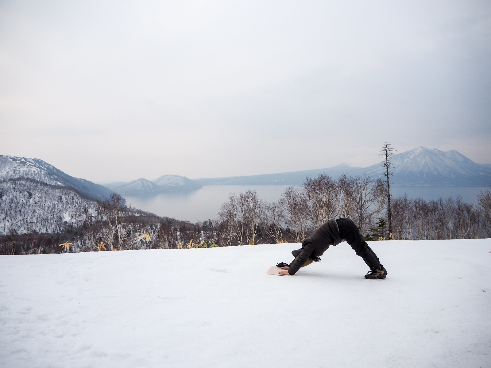
Contrary to the weather forecast the day before, we woke to still-clear views of the lake and surrounding mountains.

Mt. Ichankoppe ski touring and winter camping (Hokkaido, Japan)
Morning yoga on Mt. Ichankoppe next to Lake Shikotsu (Hokkaido, Japan)

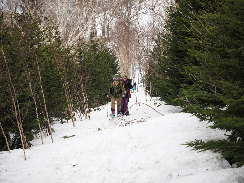
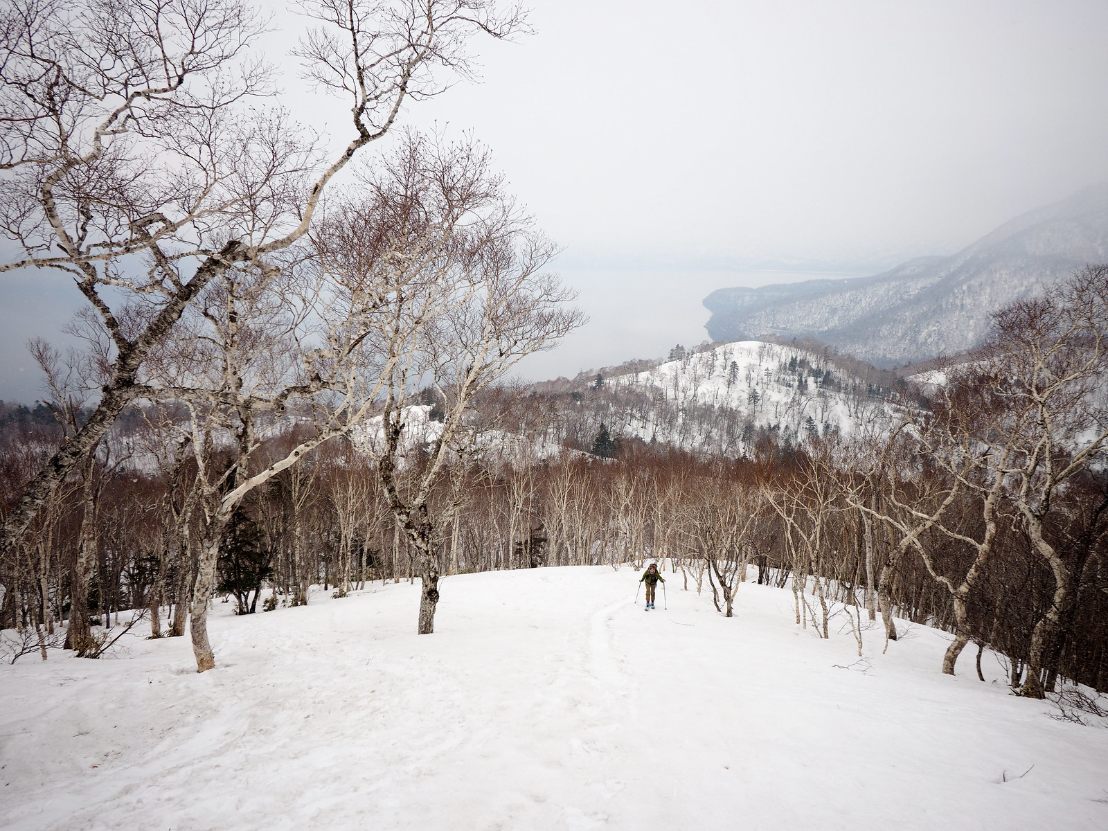
We packed up most of our stuff and left it in the tent, leaving the campsite for the summit of Mt. Ichankoppe around 9:30am. The route was a pleasant one, up and along the ridge to the summit.

It appeared the weather that had been forecast for earlier in the morning was simply a little bit late, and by the time we got to the main summit ridge, we’d lost sight of much of the lake. A very light snow was now falling. Far in the distance we could see our campsite further down the ridge.

Mt. Ichankoppe ski touring and winter camping (Hokkaido, Japan)

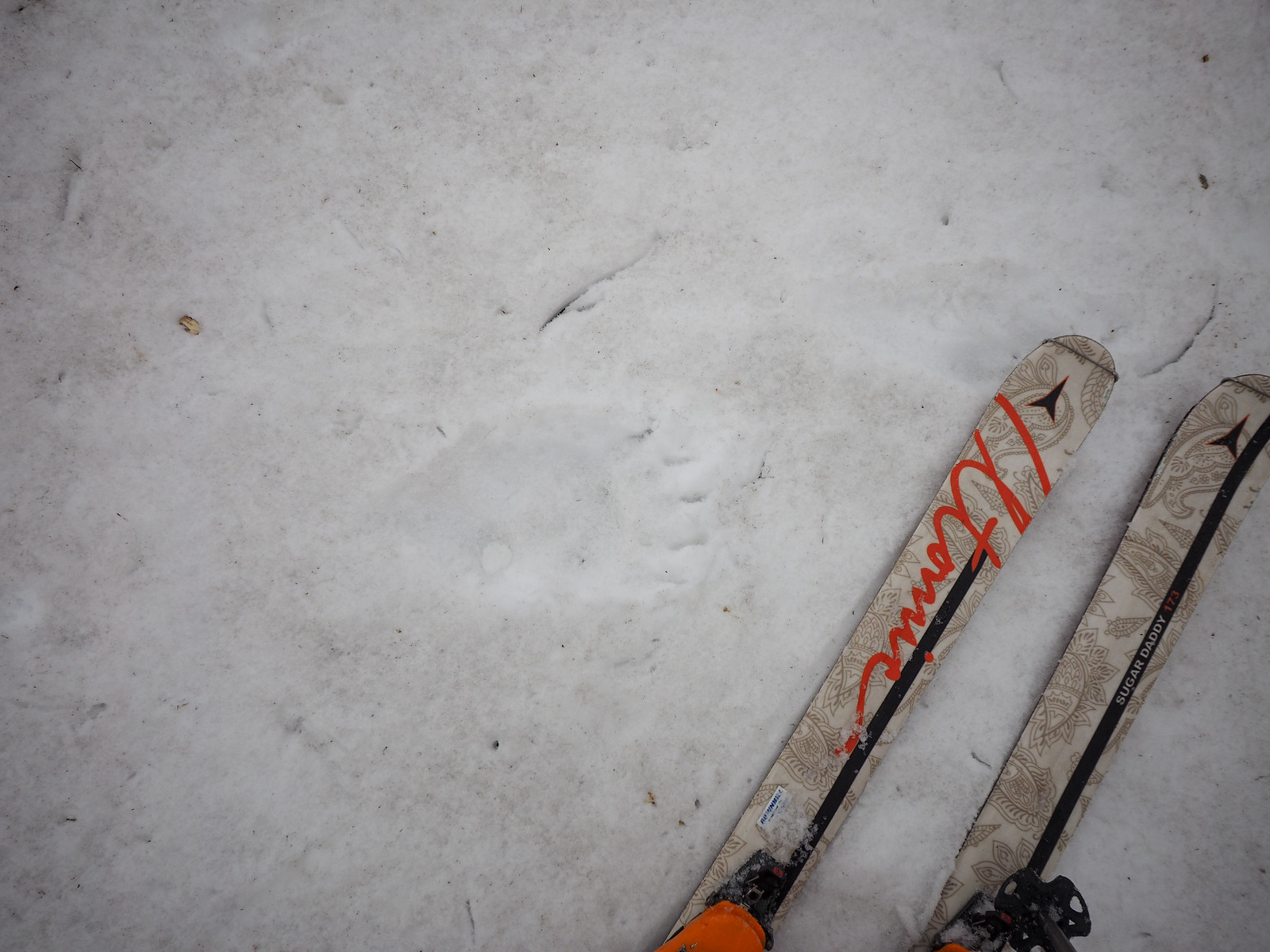
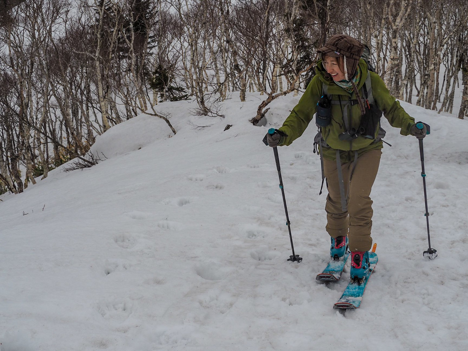
Part way up, we discovered the bear prints we’d been told about the previous day. They extended at least 50m alongside the snowshoe tracks along the ridge. Most Japanese hikers we met expressed surprise at the bears being awake so early.

Mt. Ichankoppe ski touring and winter camping (Hokkaido, Japan)
Bear prints in snow next to skier (Hokkaido, Japan

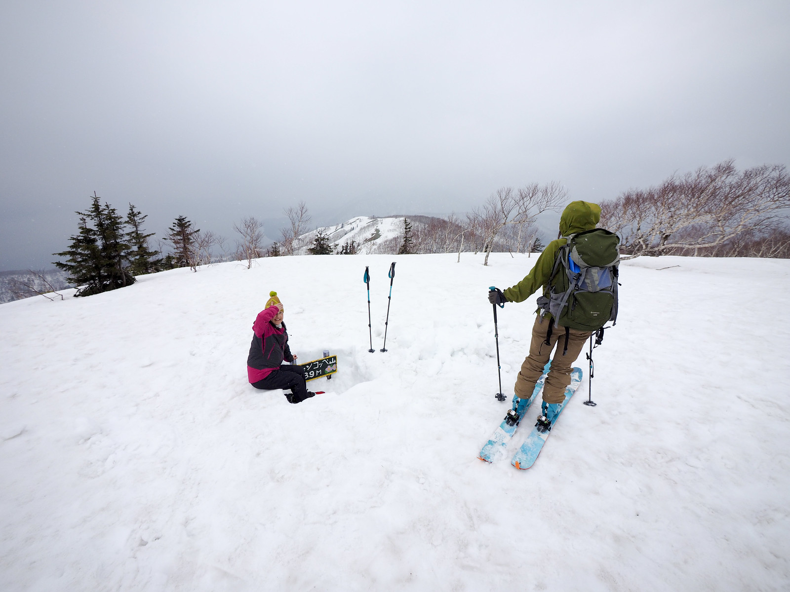
At the summit, some kind soul had searched for and dug out the official Mt. Ichankoppe summit sign. I would later read on the Japanese Hokkaido mountaineering Facebook page that it had taken them an hour to find it under the snow.

Mt. Ichankoppe ski touring and winter camping (Hokkaido, Japan)

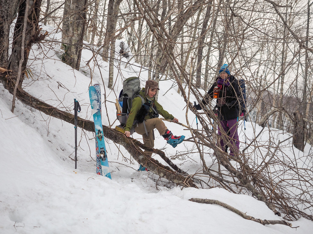
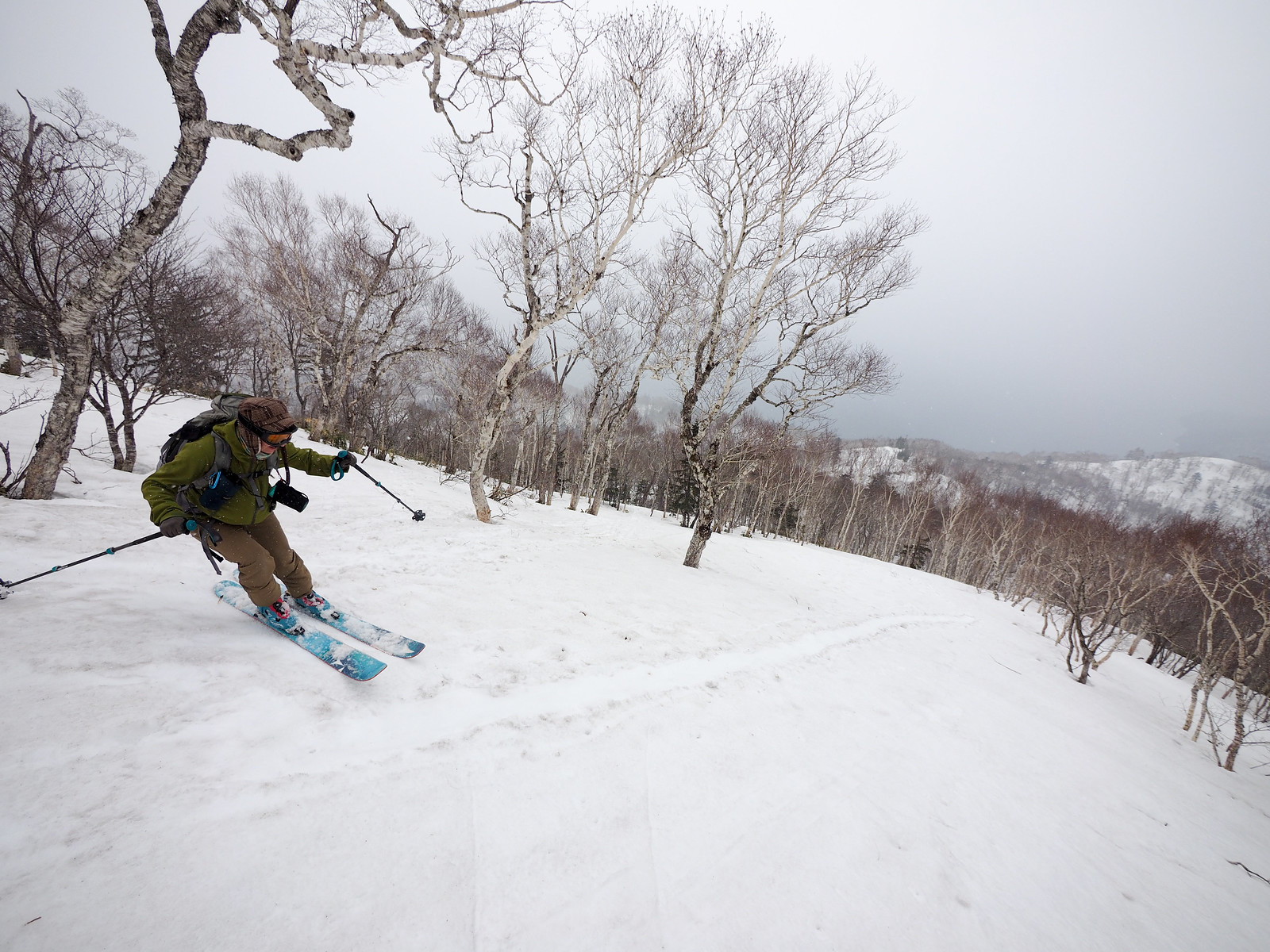
The downhill from the summit, despite the couple of ups and downs, was good, spring skiing fun. Back at the campsite we packed up the tent and cleaned up as much as we could, and headed back down to the car. Gerry and Saoka on snowshoes followed the summer trail, and Haidee and I on skis took the gully route on the western side of the summer trail ridge.

Mt. Ichankoppe ski touring and winter camping (Hokkaido, Japan)

When the other two arrived back at the car, we went straight to Marukoma Onsen further down the road (location), and were happy to have a good relaxing soak after a great weekend out in the hills.

Comments | Queries | Reports

Done this route to Ichankoppe, or others nearby? Thinking of doing it? Please post any feedback, reports, or queries here. Thanks!

Leave a Reply

Your email address will not be published. Required fields are marked *

This site uses Akismet to reduce spam. Learn how your comment data is processed.

See More Like this

Printable Ichankoppe Topomap

Download may take some time

Hokkaido Wilds Foundation

We’ve got affiliate links on HokkaidoWilds.org to help fund the Hokkaido Wilds foundation.

The Foundation gets a small commission on sales from affiliate links, but we only link to stuff we think is worth checking out for people keen on the outdoors in Hokkaido and Japan.

The Hokkaido Wilds Foundation is a fund where 100% of funds are donated to Hokkaido volunteer groups involved in sustainable, safe, and responsible access to the Hokkaido outdoors.
Learn more here

ADVANCED FILTERS

Filter by location

About Filters

REGION: The general mountain/geographical region the route is in.
BEST MONTH(S): Time of year a route is suited to visiting. Some pop all season, some are more limited.

DIFFICULTY: How strenuous a route is, and how technical it is. Full details here.

FREERIDE/SKITOUR: Very subjective, but is a route more-of-a-walk-than-a-ski or the other way around? Some routes are all about the screaming downhill (freeride), some are more about the hunt for a peak or nice forest (ski-tour). Some are in between. 

MAIN ASPECT: Which cardinal direction the primary consequential slope is facing, that you might encounter on the route. More details here.

ROUTE TAGS: An eclectic picking of other categories that routes might belong to.

SEARCH BY LOCATION: You can find routes near your current location – just click on the crosshairs (). You may need to give permission to HokkaidoWilds.org to know your GPS location (don’t worry, we won’t track you). Or, type in a destination, such as Niseko or Sapporo or Asahikawa etc.

Please let us know how we can make it easier to narrow down your search. Contact Rob at rob@hokkaidowilds.org with your suggestions.

Ichankoppe-yama spring ski touring and camping Difficulty Rating

Category

Grade

Points

Strenuousness

Vertical Gain

C

30

Time ascending

C

3

Technicality

Altitude

C

3

Hazards

D

0

Navigation

C

6

Totals

42/100

GRADES range from A (very difficult) to D (easy). Hazards include exposure to avalanche and fall risk. More details here. Rating rubric adapted from Hokkaido Yukiyama Guidebook 北海道雪山ガイド.