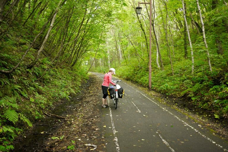
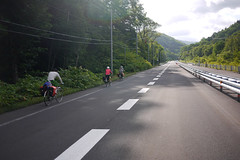
We were not sure how far we would end up going today. One option was to camp at Jozankei, about 50km up and over Nakayama Pass, and then cycle the remaining 25km to Sapporo the next day. The weather, however, was markedly cooler than previous days, so we ended up having the energy to cycle all the way back to Sapporo.
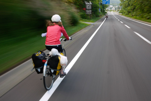
We began the day half an hour earlier than usual, and instead of having our usual breakfast with coffee, we all just wolfed down bakery breads and rice balls. We were keen to get on the road and on the feared Nakayama Pass before it got too hot. We parted ways with Saoka this morning, as she had to be back in Sapporo earlier than us. We heard later that she had successfully returned her hired bicycle to Niseko, and was back in Sapporo by train.
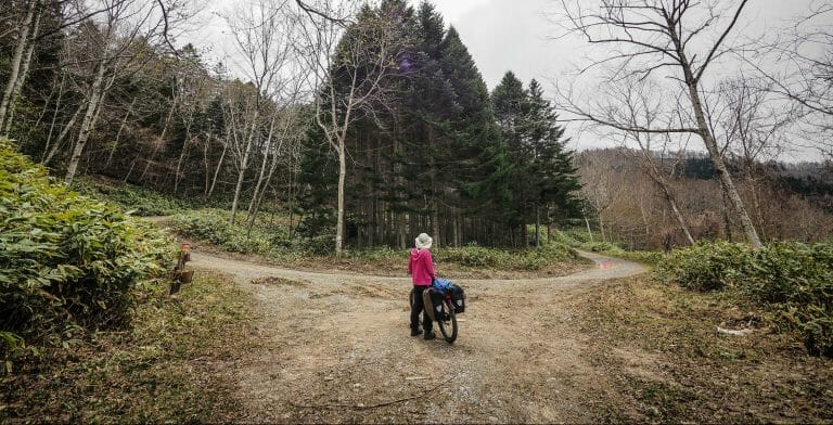
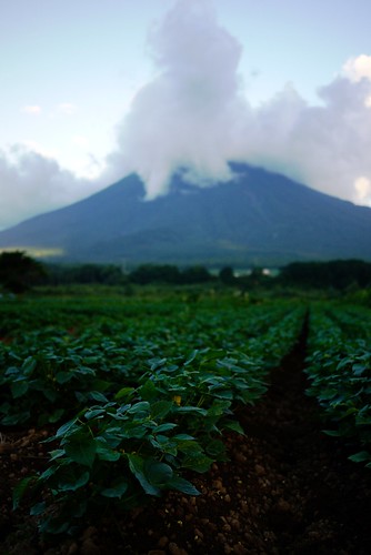
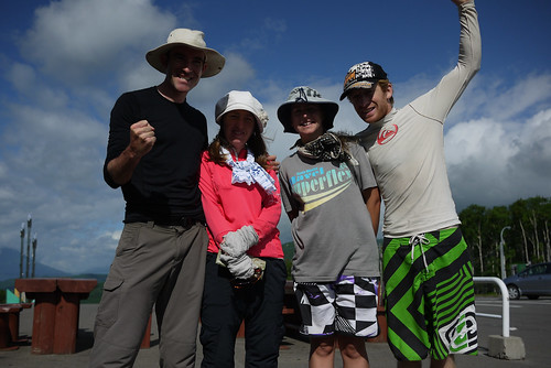
Haidee, Rowland, Alicia and I were on the road by 5am (an hour after daybreak) and I was loving the delicious early morning light.
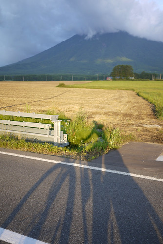
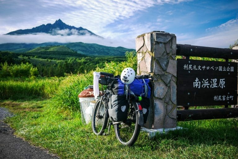
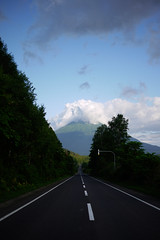
The climb up the 835m high Nakayama Pass was not as steep as we had expected however, and by 8:15am we had reached the top.
We filled up on the local delicacy – deep fried batter-coated potatoes – before indulging in some well earned downhill goodness.
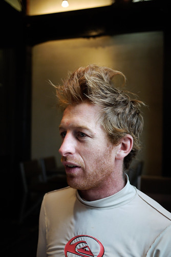
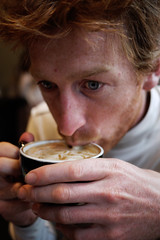
Lunch was had at a very nice little cafe/pasta restaurant on the way into Sapporo. Rowland was happy to see good quality coffees on offer, as he has not been overly impressed thus far with the quality of coffee in Japan. Mind you, our four-person group, wearing week-old unwashed clothes was probably a bit of a sight in the rather nice cafe surroundings.

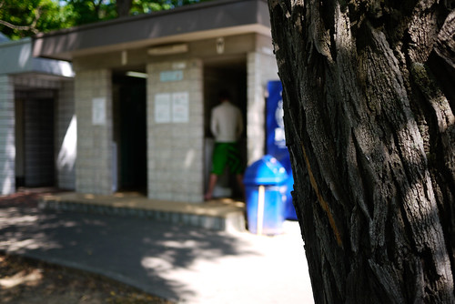
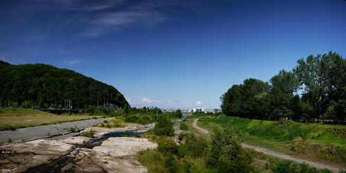
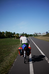
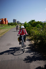
All tanked up on carbohydrates and caffeine, we were ready to make the assault into Sapporo. Luckily, Haidee and I had done this route into Sapporo before, and knew of some nice cycle paths along the Toyohira River which would deliver us more or less to our apartment door. They were a welcome respite to the busy roads. They even had toilets. Typical Japanese park toilet style too. Urinals open to the world at large. A man has to have a view when he pees, don’t you know?
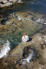
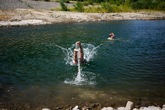
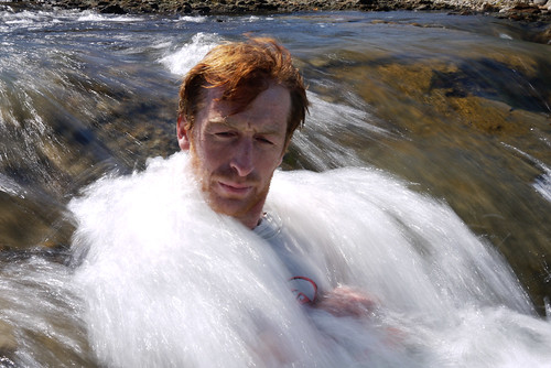
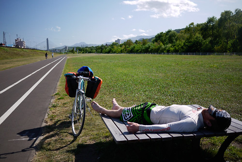
Hardly a day went by on the tour without a swim in a river or ocean. Today was not exception. The upper Toyohira River was a nice a spot as any to cool off in the heat of the day.
The final 5km push on into Sapporo was under a blazing sun and a stiff, hot headwind. At least we had a cycling path almost entirely to ourselves.
Arrival home to our pokey wee apartment was a welcome relief. Cold showers and the breeze of a shaded 11th floor apartment is hard to beat after 8 days outside. Time to get back to the business of keeping in touch…