Posted on Feb 8, 2014
0

Posted on Feb 8, 2014

0 0
16km

Distance

0.5 day(s)

Time

10m

Ascent

5m

Highest point

5/10

Difficulty

0%

Paved

Here, we outline a fun route for cycling on the Ishikari Beach in winter. During Sapporo's -10°C winter, Ishikari Beach to the north of the city freezes solid like concrete. This is perfect for winter beach cycling in Sapporo. Wildlife loves the beach in winter, because normal people tend to stay away. Even on a bike, you'll need to wade through thigh-deep snow just to get to the clear beach at the water's edge. You'll see eagles, foxes, and perhaps a Hokkaido snow rabbit.

Last updated Feb 19, 2020

Route Map

Need to know details

Location

This winter cycling route along the Ishikari Bay beach from the Ishikari Bay Shinko Port (石狩湾新港) to the Ishikari River river mouth is about 20km north of central Sapporo City. The start location on Google Maps is here.

General notes

The biggest highlight of this route is the Ishikari River river mouth. Tons of river ice per day pours out into the sea, only to be promptly washed back up onto the beach near the river mouth. It really is a sight to see. The best season for seeing this, and ensuring a well-frozen beach, is the mid-winter months of late January to mid-February.

  • What bike to bring? In the non-snow months, cycling on Ishikari beach generally requires a very fat fatbike. In winter, a mountain bike with relatively wide tires (anything above 2 inches) will suffice. There’s generally no need for studs on the tires because the sand gives plenty of grip.
  • Tides: At high tide, there will be very little room between the sea and a fair amount of snow above the high-tide line. Best to time this trip for low tide (check times here).
  • Accessing the beach: From the road to the beach is a 800m post-hole trek to the sand below the high tide line. You might want to bring snowshoes to make this section more bearable. Or at least gaiters to avoid filling your boots with snow.

Route markers

This not a marked route.

Route Timing

This route is a there-and-back-again route, as the Ishikari River banks are generally impassible by bike in winter. Including the trek through the snow to the sand at the beginning, bank on about 1 hour to the Ishikari River mouth, and 1 hour return, plus some extra time for sightseeing stops along the way.

Physical maps

Explore the official Japan topomaps online for the area around Ishikari Beach here. Follow these instructions to print out the area you would like as a hardcopy.

Route safety

Notify the police of your backcountry plans online using Compass – instructions here.

Weather forecast

Windy.com weather forecast for Ishikari Beach
Other resources
Onsen nearby

You’ll be relatively close to Banya-no-Yu Onsen, right next to the beach, further down towards the river mouth, here. 650yen per person, and they have a good restaurant too.

Support us

Like this content? Buy the HokkaidoWilds.org team a coffee. 50% of tips go to the Hokkaido Wilds Foundation.

Show Full Route Notes Close Route Notes

Route Trip Notes

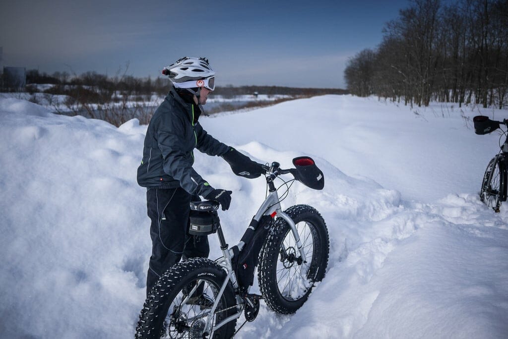
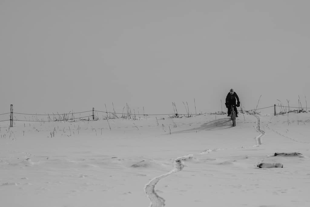
Upon Alex’s invitation, I went for a bike ride on Ishikari Beach today. In winter. Alex rides a fatbike. That means his tires are huge; made to float over soft stuff like sand. And snow. The only issue is access to the beach. This consisted of about 15 minutes of tough pushing through deep snow. The hope of clear, wave-washed beach further down kept us going.

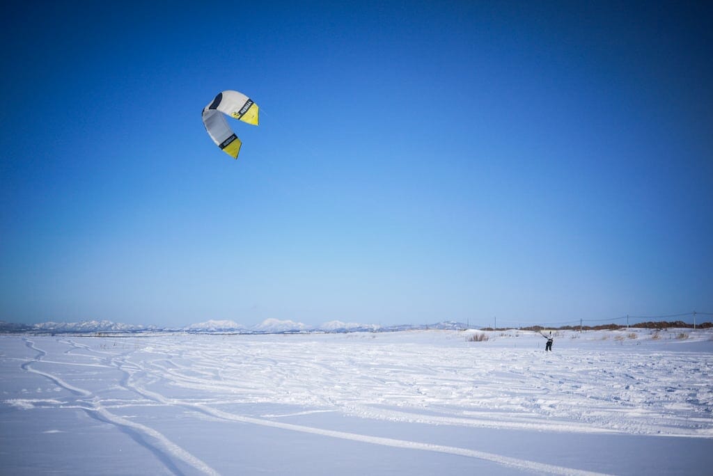
On the upper end of the beach, there was a person on a snowboard using a kite-surfing kite on the beach, on the snow.

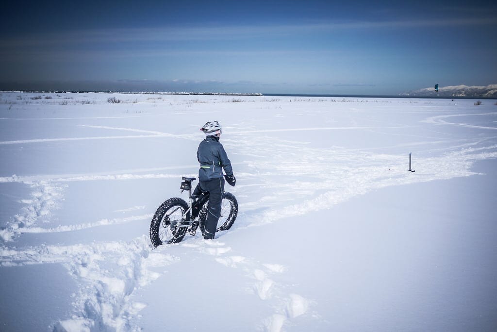
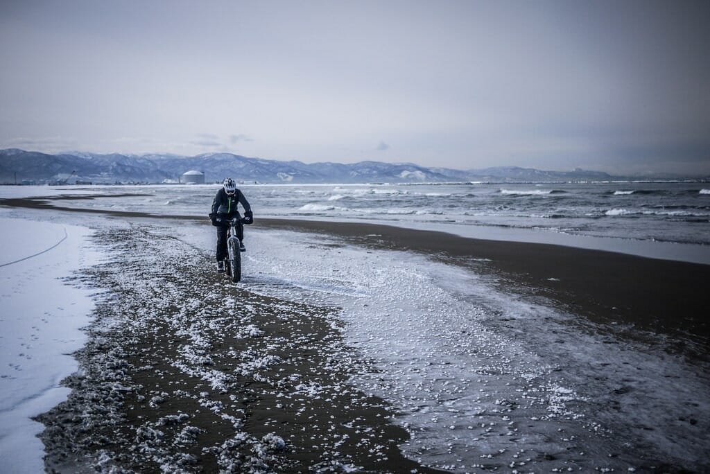
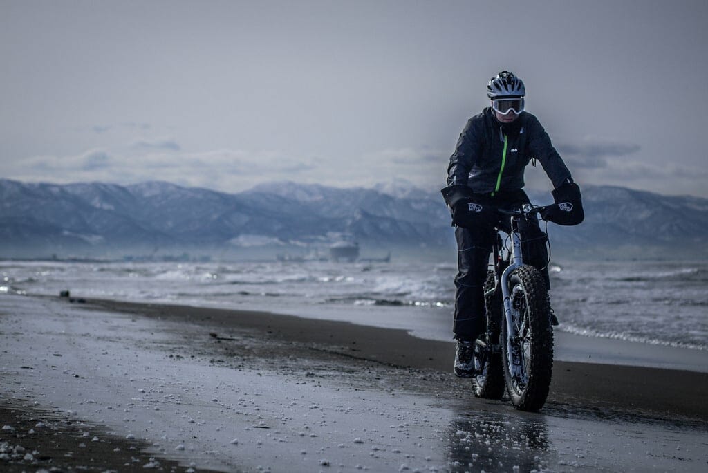
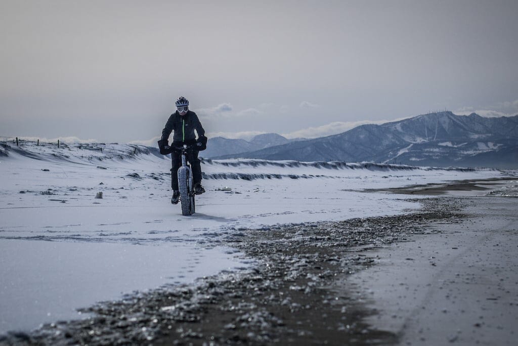
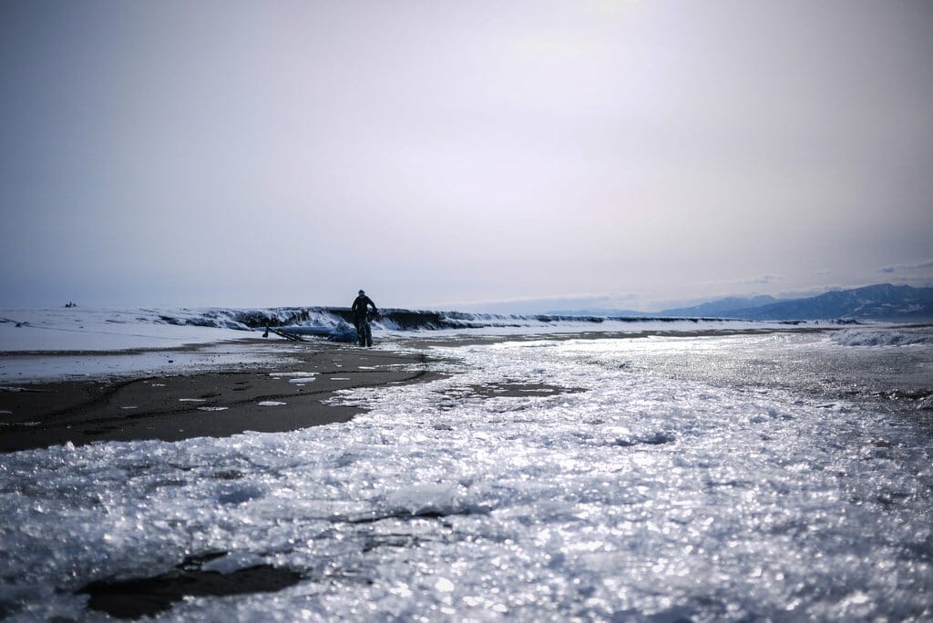
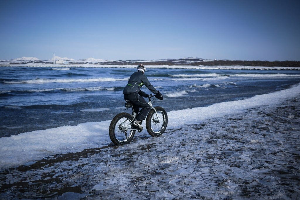
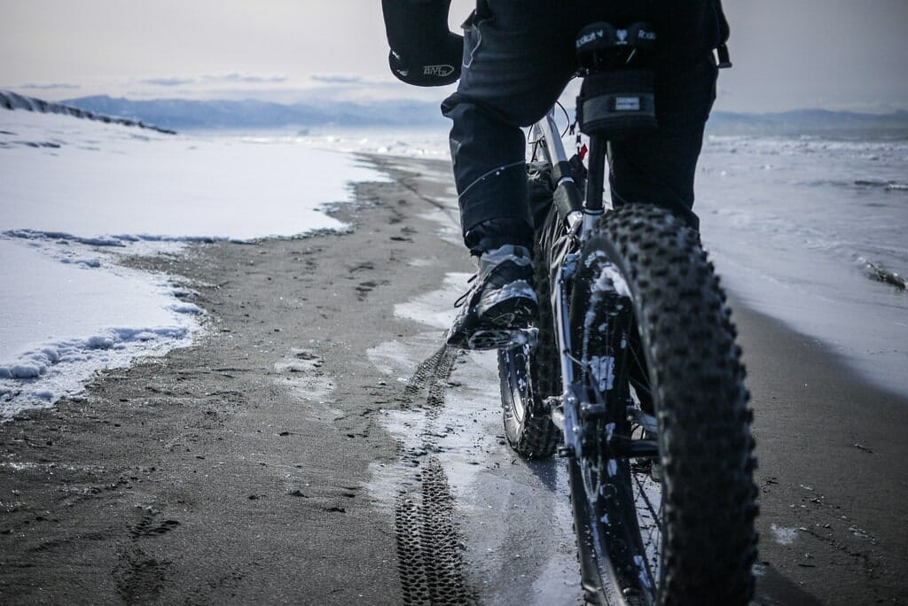
After some hefty pushing, however, a glorious sight greeted us. Little to no snow on the beach. And even better, the sand was frozen solid like concrete. With my skinnier 29×2.25 tires, this was a relief! It was a beautiful day for it. Sun, clear visibility, and around -5 degrees C.

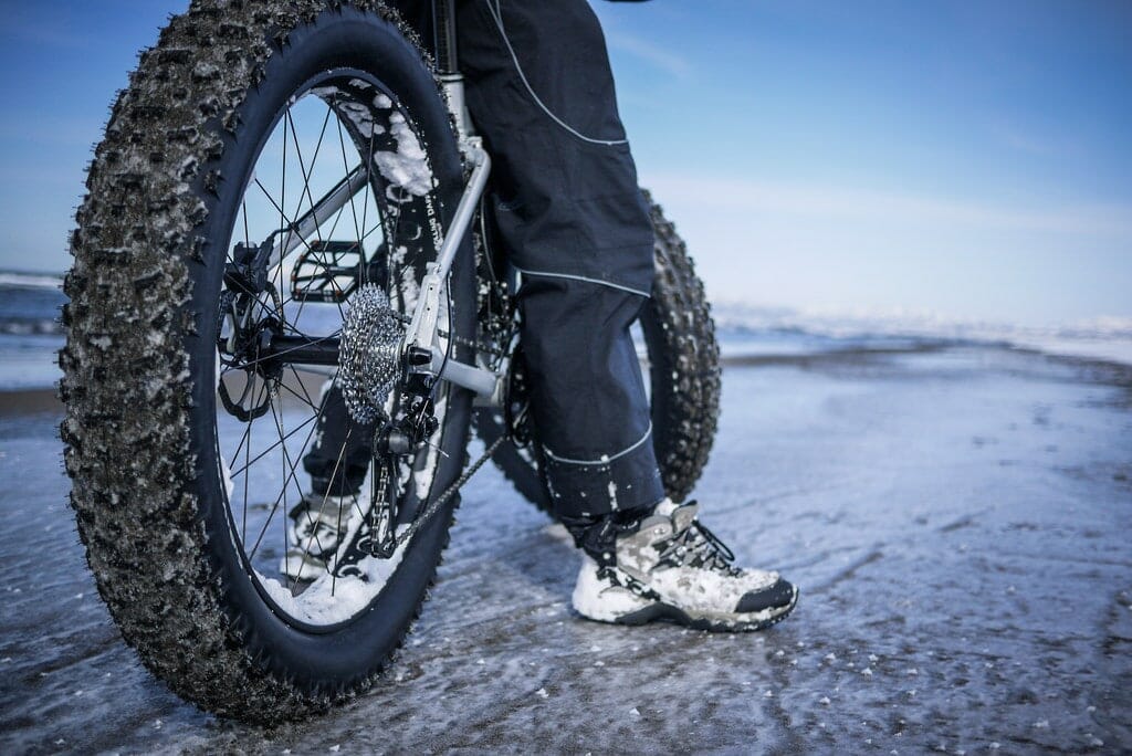
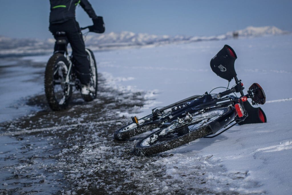
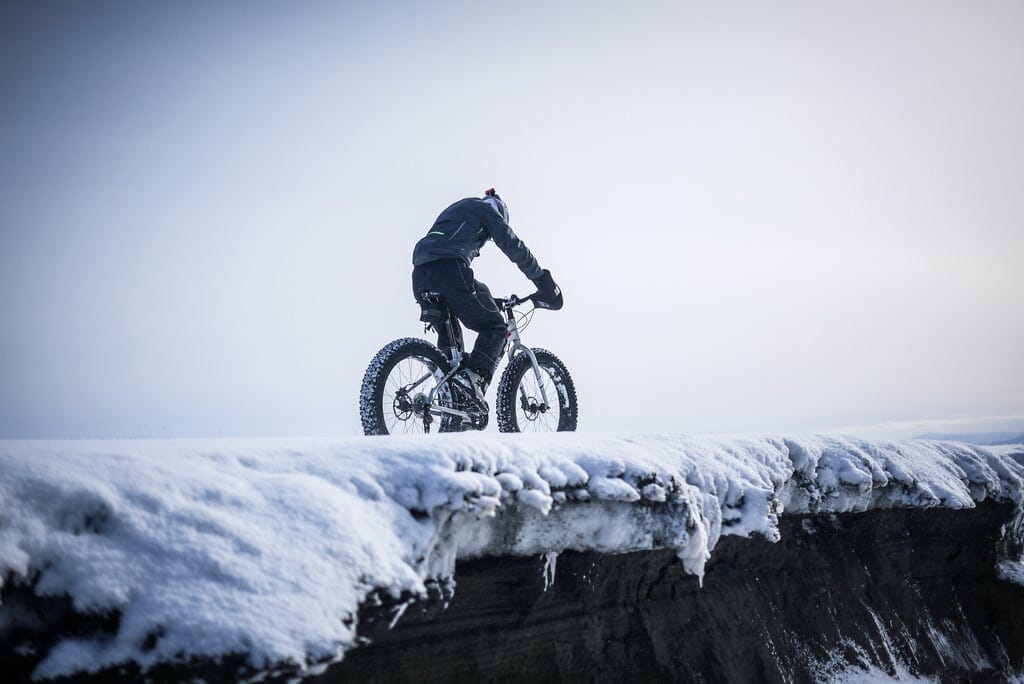
Alex was on 4.8-inch tires. I was on 2.25-inch. Quite the difference in terms of float: The wider the tires, the less they sink into soft stuff. But when everything’s frozen (and so long as there wasn’t too much snow), my bike handled it OK.

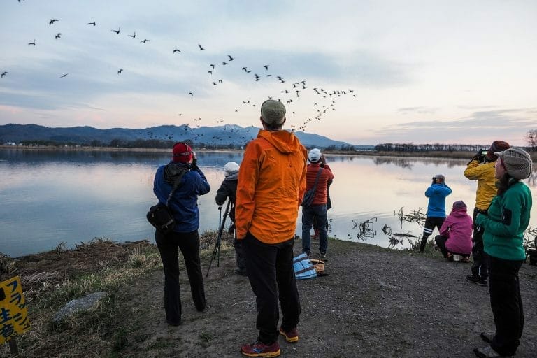
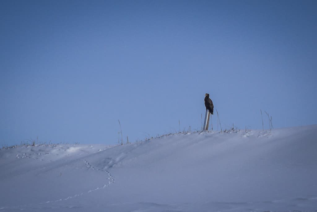
It was amazing to see wild foxes, and even more amazing to see Hokkaido sea eagles. Massive majestic creatures.

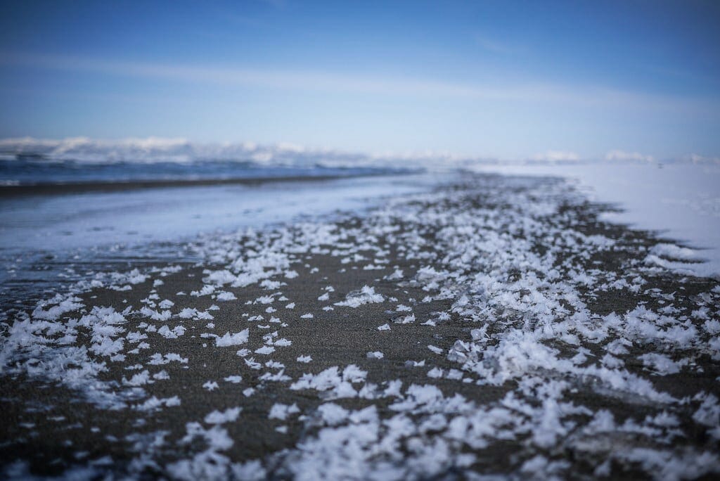
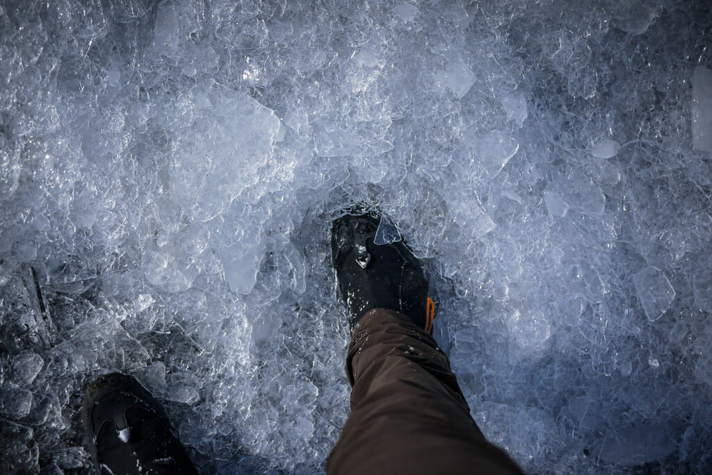
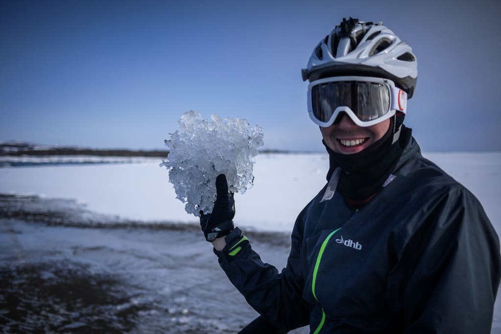
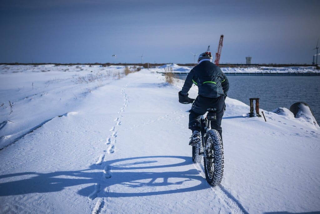
We cycled all the way from Ishikari Port to the end of the beach at the north end, where Ishikari River meets the sea. The further we got north, the more ice we saw. And a fascinating phenomenon: small slithers of ice washing up on the beach like pebbles.

It was a hard slog back the way we had come; the afternoon sun had softened the beach a little. Or was it just my tired legs?

All in all, it was an amazing morning/afternoon out. Thanks for the idea Alex!

Comments | Queries | Reports

Done this route up to Ishikari Beach? Thinking of doing it? Please post any feedback or queries here. Thanks!

Leave a Reply

Your email address will not be published. Required fields are marked *

This site uses Akismet to reduce spam. Learn how your comment data is processed.

See More Like this

Printable Ishikari Beach Topomap

TOPO DOWNLOAD (PDF, 9.8MB)

Download may take some time

Hokkaido Wilds Foundation

We’ve got affiliate links on HokkaidoWilds.org to help fund the Hokkaido Wilds foundation.

The Foundation gets a small commission on sales from affiliate links, but we only link to stuff we think is worth checking out for people keen on the outdoors in Hokkaido and Japan.

The Hokkaido Wilds Foundation is a fund where 100% of funds are donated to Hokkaido volunteer groups involved in sustainable, safe, and responsible access to the Hokkaido outdoors.

Learn more here

ADVANCED FILTERS

Filter by location

About Filters

REGION: The general mountain/geographical region the route is in.

BEST MONTH(S): Time of year a route is suited to visiting. Some pop all season, some are more limited.

DIFFICULTY: How strenuous a route is, and how technical it is. Full details here.

FREERIDE/SKITOUR: Very subjective, but is a route more-of-a-walk-than-a-ski or the other way around? Some routes are all about the screaming downhill (freeride), some are more about the hunt for a peak or nice forest (ski-tour). Some are in between. 

MAIN ASPECT: Which cardinal direction the primary consequential slope is facing, that you might encounter on the route. More details here.

ROUTE TAGS: An eclectic picking of other categories that routes might belong to.

SEARCH BY LOCATION: You can find routes near your current location – just click on the crosshairs (). You may need to give permission to HokkaidoWilds.org to know your GPS location (don’t worry, we won’t track you). Or, type in a destination, such as Niseko or Sapporo or Asahikawa etc.

Please let us know how we can make it easier to narrow down your search. Contact Rob at rob@hokkaidowilds.org with your suggestions.

Mid-winter Cycling on Ishikari Beach Difficulty Rating

Category

Grade

Points

Strenuousness

Vertical Gain

D

25

Time ascending

D

0

Technicality

Altitude

D

0

Hazards

D

Navigation

D

Totals

25/100

GRADES range from A (very difficult) to D (easy). Hazards include exposure to avalanche and fall risk. More details here. Rating rubric adapted from Hokkaido Yukiyama Guidebook 北海道雪山ガイド.