


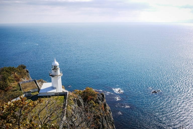
Distance: 50km | Ascent: 1253m | Paved: 90% | ↓ GPX file
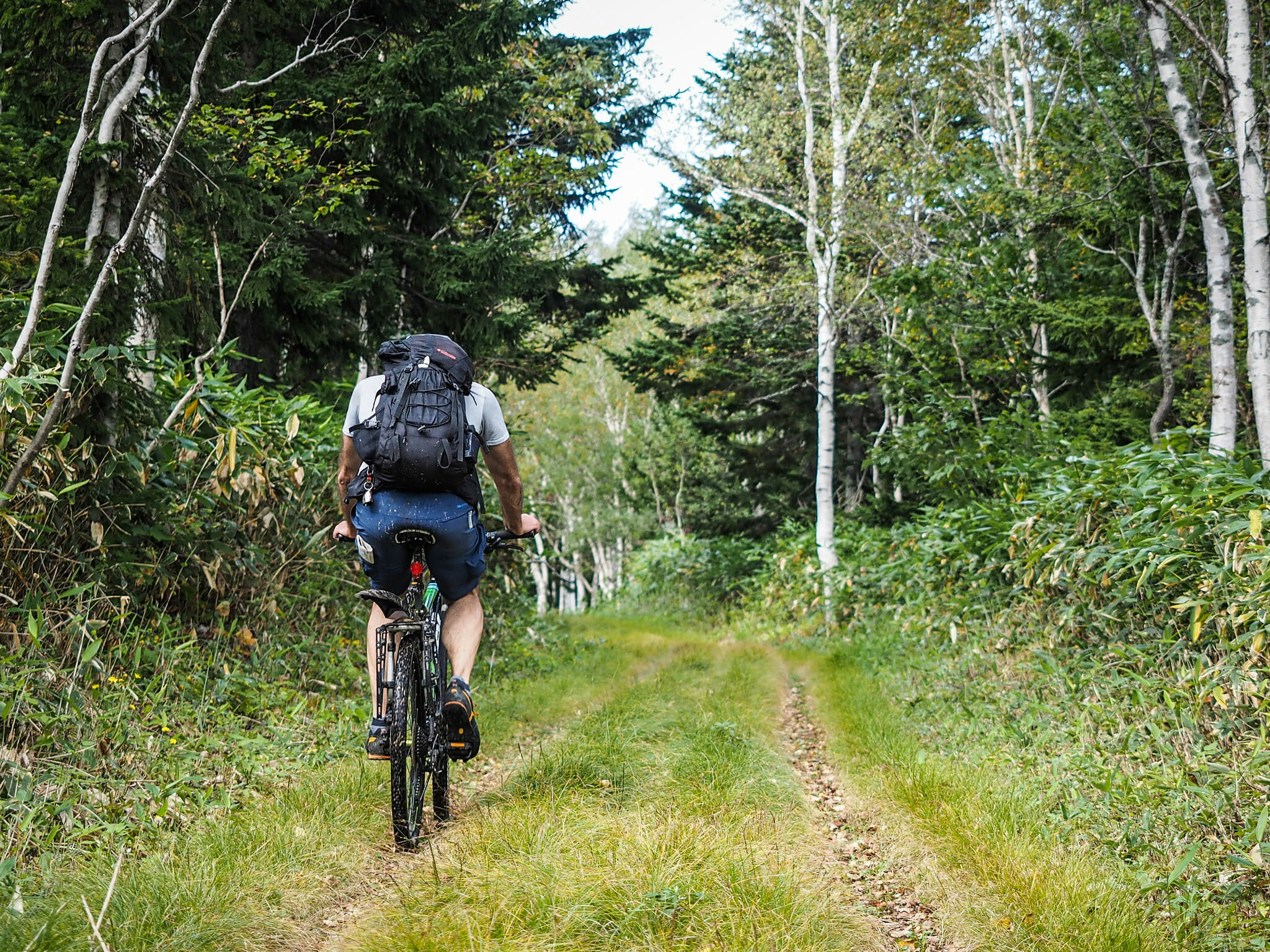
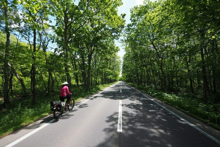
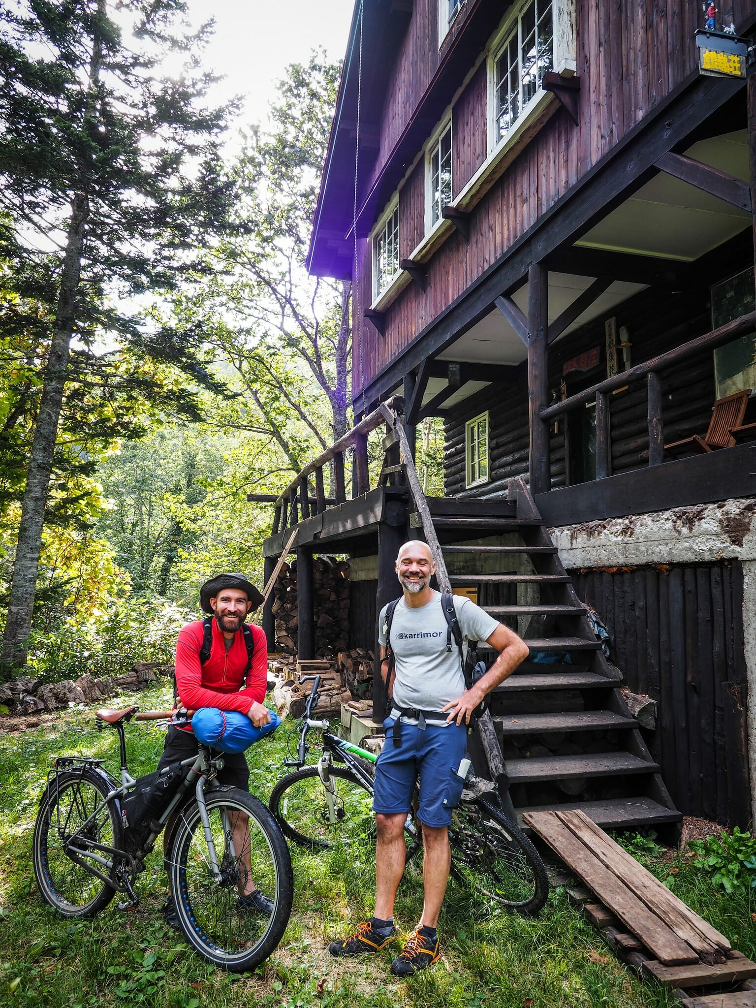
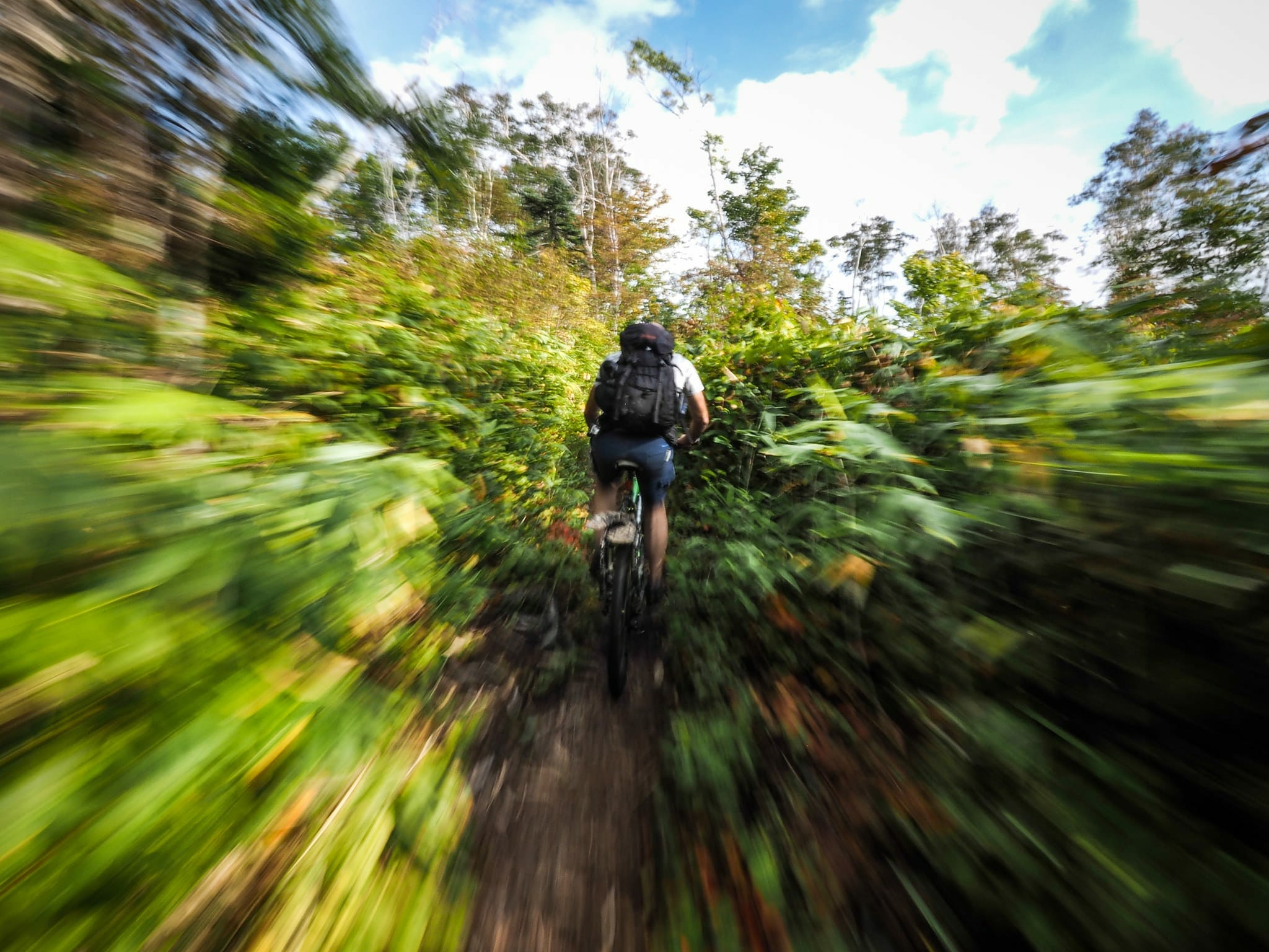
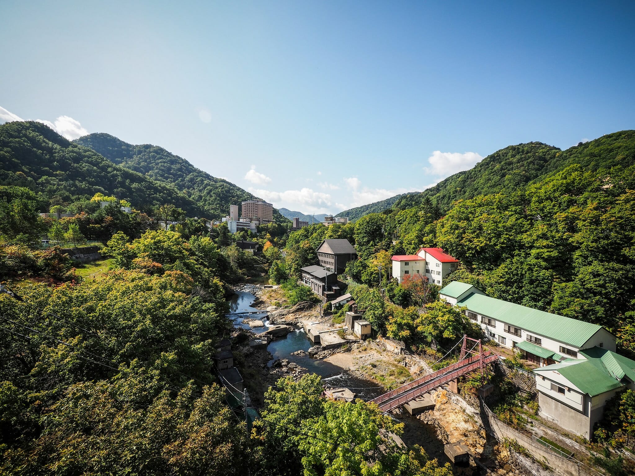
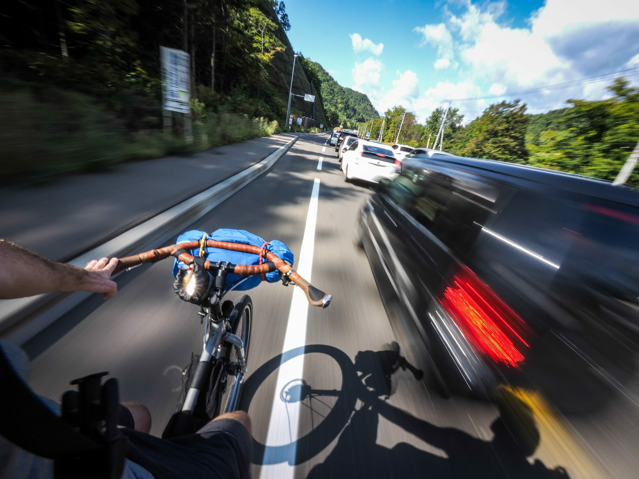
Day one of the Fuchs Loop Bikepacking Route (if doing the route as an overnighter) involves a mix of river-side paved cycle paths, quiet paved backroads, some busy 4-lane road riding, and a short 5km section of 4WD track up to the Ginreiso Hut (hut details here). The last place to stock up on supplies is in Jozankei Village, which has a few convenience stores (here).
Accommodation: Ginreiso Hut (銀嶺荘) | 800 yen per tent
Onsen: None
Distance: 32km | ↓ GPX file
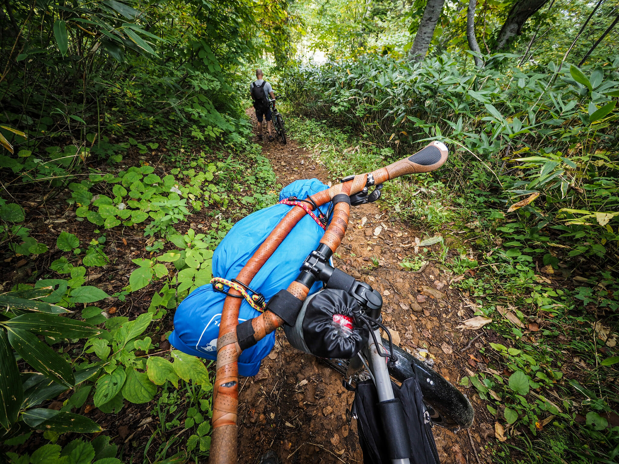
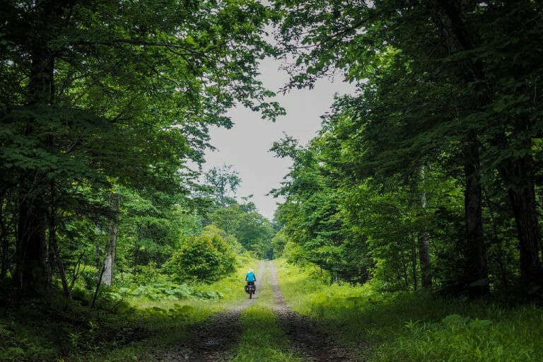
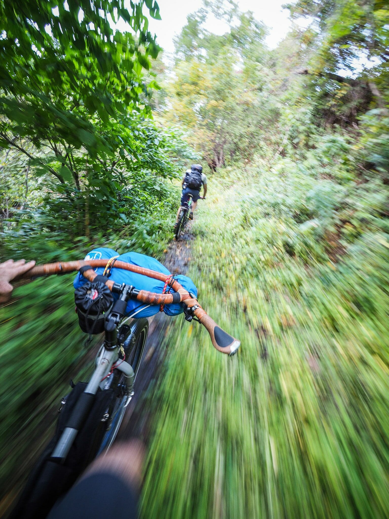
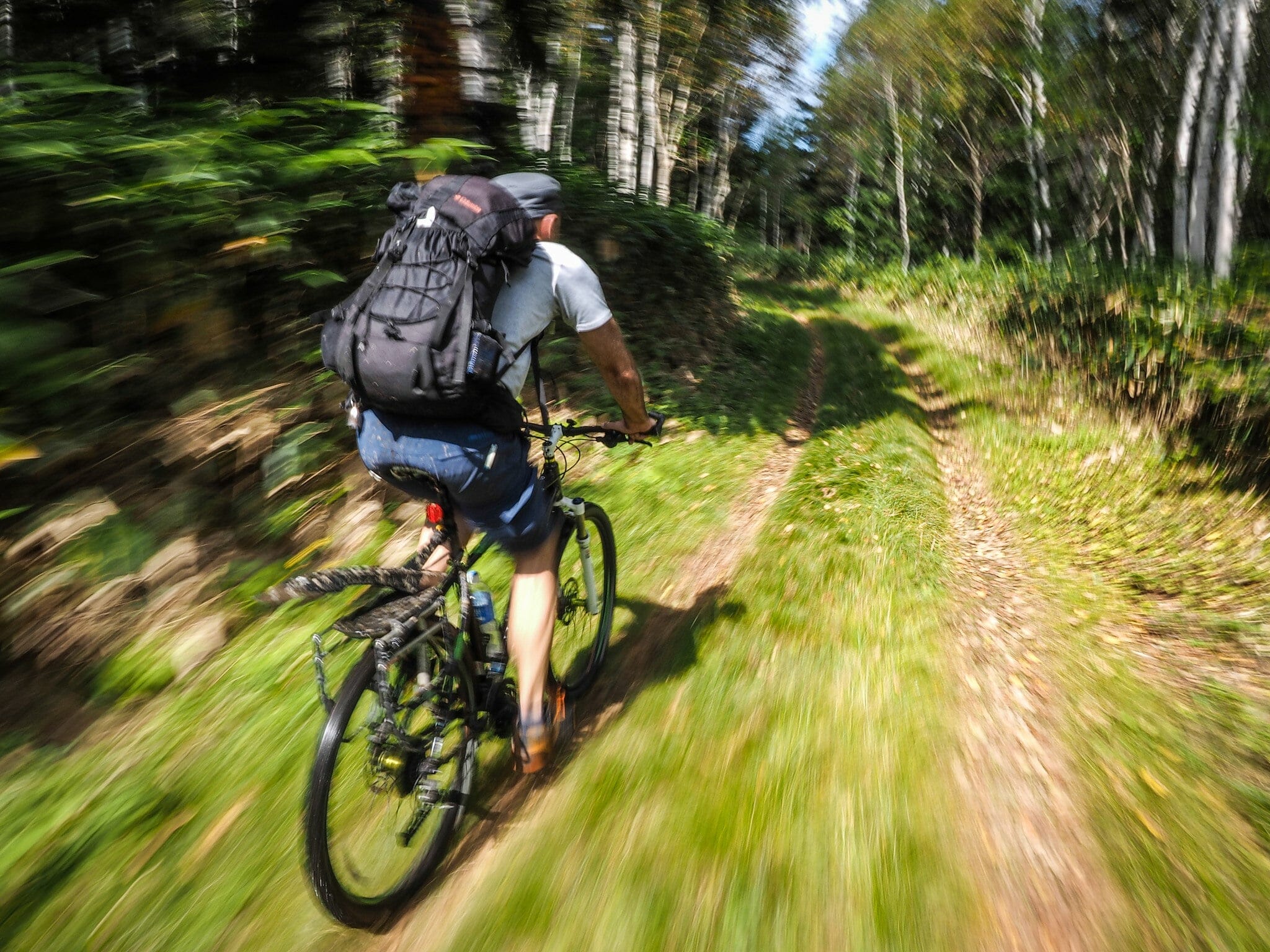
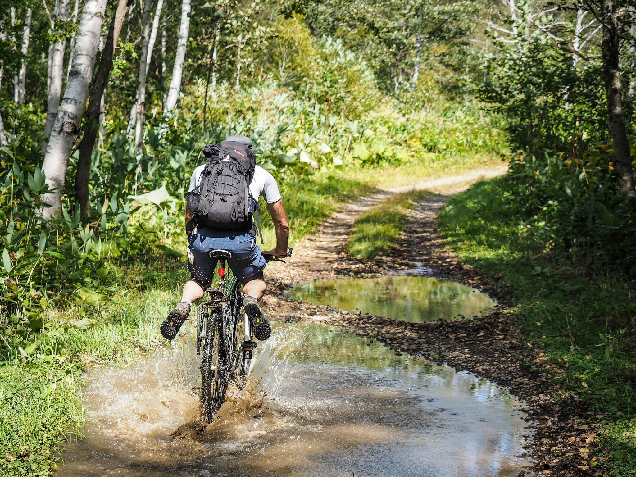
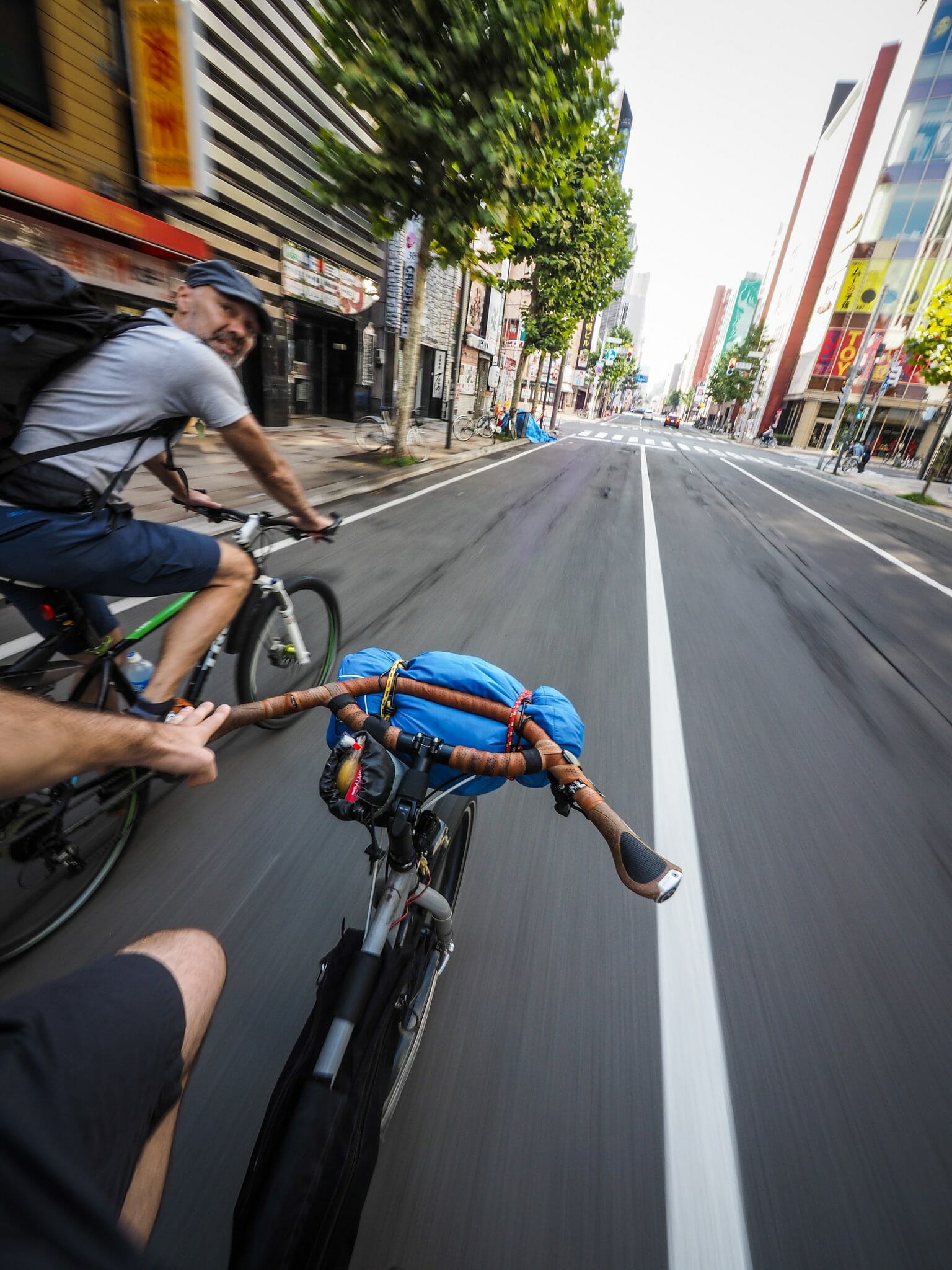
Day Two is all descent, but is another mixed day regarding surface. It starts with some single/hiking track directly from the hut, which then opens out to some fast gravel forestry road, before narrowing to single-track again. Before long, you’ll be spat out into the sleepy Zenibako settlement for a final paved descent to the coast. Follow the coast around to the mouth of the Shinkawa River, and from there you can follow the river-side cycle paths that run close to the center of the city.
The end of the Shinkawa River cycle paths are close to the expansive Hokkaido University campus, so take a shortcut through there to avoid the busier city roads.
On your way into the city, you’ll be passing some decent Super-Sento (large public baths), so drop in for a soak on your way into the city if that’s your thing.
Accommodation: None ()
Onsen: Shinkotoni Onsen Ichinoyu (新琴似温泉 壱乃湯) | 440yen


